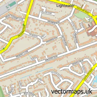
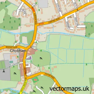
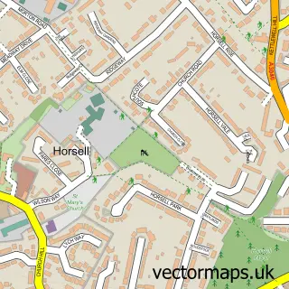
This Bisley street map is a detailed vector street map covering a 750m x 750m area. Select a larger area to create and download your own vector street map of Bisley.
The 750-metre map sample for Bisley covers 519 mapped buildings and approximately 19.5 km of road detail, of which 36 named roads are named. The immediate area includes 1 school, 2 GP surgeries within 2 miles, 1 pub and 5 MOT stations within 2 miles. The wider area around Bisley features 2 tourism points of interest and 1 food and drink venue. To create a larger or custom map of Bisley, the map builder lets you define your own coverage area and download editable SVG, PDF and PNG files.
Create a larger editable map of Bisley
Choose any area you need and generate a high-quality vector map instantly. Perfect for print, planning, design, business and personal use.

This Bisley street map in Surrey is available as downloadable SVG, PDF and PNG map files, or as a printed map for planning, business, display, education, local information and design work. You can also create a larger custom map area using the map selector.
What this Bisley map sample shows
Bisley lies within Bisley Cp parish, part of Bisley & West End ward in the Surrey Heath District (B) local authority area. The postcode geography for this area includes the GU postcode area, the GU24 postcode district and the GU24 9 postcode sector. Residents fall under the Nhs Surrey Heartlands Integrated Care Board for NHS services.
Local features near Bisley
Within 2 milesAmenities and services in and around Bisley.
Administrative and postcode information for Bisley
The local authority covering Bisley is Surrey Heath District (B), within the county of Surrey. The settlement lies within Bisley & West End ward and Bisley Cp civil parish. The GU24 postcode district and GU24 9 postcode sector serve the immediate area. NHS provision in the area is delivered through Frimley Health Nhs Foundation Trust.
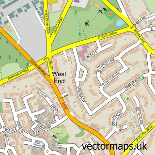
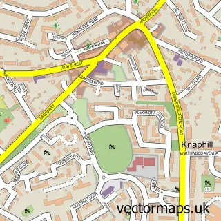
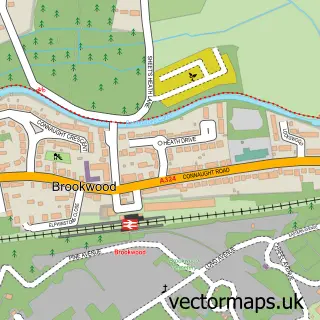
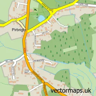
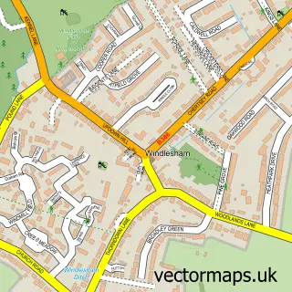
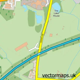
Nearby street map samples around Bisley

More street maps in Surrey
750 metre map area coverage
Boundary, postcode and point of interest information for the 750m x 750m rectangle centred on this sample map.
Boundaries containing map centre
Constituency: Surrey Heath Co Const
County: Surrey County
District: Surrey Heath District (B)
Icb: NHS Surrey and Sussex ICB
Parish: Bisley CP
Police Force: surrey
Postcode District: GU24
Postcode Sector: GU24 9
Ward: Bisley & West End Ward
Nearby boundaries intersecting sample
No additional intersecting boundaries found.
Postcode coverage
POI category counts
Building Supply Store: 6
Flowers And Gifts Shop: 3
Butcher Shop: 2
Child Care And Day Care: 2
Park: 2
Post Office: 2
Sports Club And League: 2
Veterinarian: 2
Auto Electrical Repair: 1
Automotive: 1
Sample points of interest
- Derek Wheeler Electrical Services
- ChipsAway Woking, Weybridge And Walton on Thames
- Napoli Ceramics
- Brighter Lights
- Dribblebuster
- Heater's Bakery
- Sophie's Lashes and Beauty
- Hourbike
- ChipsAway Mark Hunter
- M&M Wedding Photography
- Acorn Landscapes
- BPT Electrical Services
Create a larger editable map of Bisley
This sample shows only a 750 metre area. To create a larger map of Bisley, use our map builder to choose your own coverage area, add titles and download editable SVG, PDF and PNG files.
Create a custom map of Bisley