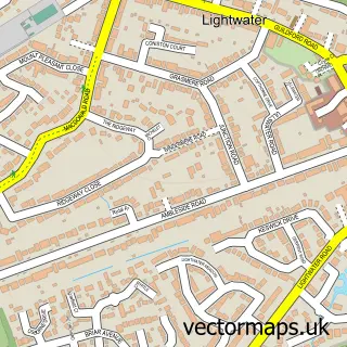
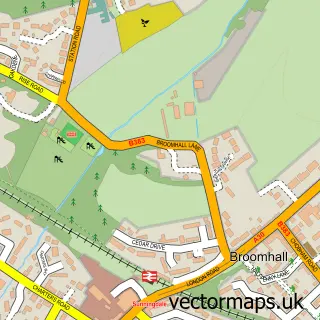
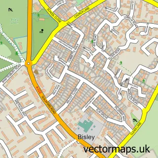
This Windlesham street map is a detailed vector street map covering a 750m x 750m area. Select a larger area to create and download your own vector street map of Windlesham.
The 750-metre map sample for Windlesham covers 549 mapped buildings and approximately 16.3 km of road detail, of which 39 named roads are named. The immediate area includes 2 GP surgeries within 2 miles, 2 pubs and 1 MOT station, with 5 within 2 miles. The wider area around Windlesham features 3 tourism points of interest and 3 food and drink venues. To create a larger or custom map of Windlesham, the map builder lets you define your own coverage area and download editable SVG, PDF and PNG files.
Create a larger editable map of Windlesham
Choose any area you need and generate a high-quality vector map instantly. Perfect for print, planning, design, business and personal use.

This Windlesham street map in Surrey is available as downloadable SVG, PDF and PNG map files, or as a printed map for planning, business, display, education, local information and design work. You can also create a larger custom map area using the map selector.
What this Windlesham map sample shows
Windlesham lies within Windlesham Cp parish, part of Windlesham & Chobham ward in the Surrey Heath District (B) local authority area. The postcode geography for this area includes the GU postcode area, the GU20 postcode district and the GU20 6 postcode sector. Residents fall under the Nhs Frimley Integrated Care Board for NHS services.
Local features near Windlesham
Within 2 milesAmenities and services in and around Windlesham.
Administrative and postcode information for Windlesham
The local authority covering Windlesham is Surrey Heath District (B), within the county of Surrey. The settlement lies within Windlesham & Chobham ward and Windlesham Cp civil parish. The GU20 postcode district and GU20 6 postcode sector serve the immediate area. NHS provision in the area is delivered through Frimley Health Nhs Foundation Trust.
Nearby street map samples around Windlesham

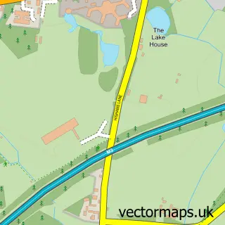
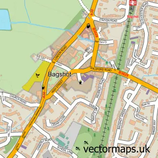
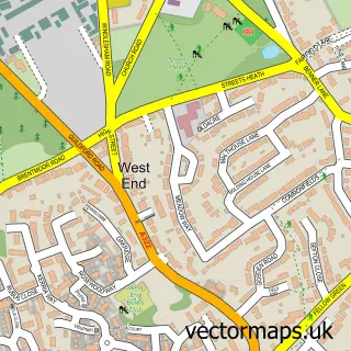
More street maps in Surrey
750 metre map area coverage
Boundary, postcode and point of interest information for the 750m x 750m rectangle centred on this sample map.
Boundaries containing map centre
Constituency: Surrey Heath Co Const
County: Surrey County
District: Surrey Heath District (B)
Icb: NHS Frimley ICB
Parish: Windlesham CP
Police Force: surrey
Postcode District: GU20
Postcode Sector: GU20 6
Ward: Windlesham & Chobham Ward
Nearby boundaries intersecting sample
No additional intersecting boundaries found.
Postcode coverage
POI category counts
Hair Salon: 3
Beauty And Spa: 2
Beauty Salon: 2
Butcher Shop: 2
Cleaning Services: 2
Driving School: 2
Flowers And Gifts Shop: 2
Massage Therapy: 2
Park: 2
Post Office: 2
Sample points of interest
- Windmill Field Windlesham
- Oakhill Financial Services
- Mac's Automobile Service
- Windlesham Barbers
- Bella V massage & Beauty
- The Pretty Brow Club
- Glam Studio Clinic Surrey
- Pure Zest For Face and Body
- Dairy Crest
- Carpet Cleaning Windlesham
- The Quality Meat Co
- The Quality Meat Company
Create a larger editable map of Windlesham
This sample shows only a 750 metre area. To create a larger map of Windlesham, use our map builder to choose your own coverage area, add titles and download editable SVG, PDF and PNG files.
Create a custom map of Windlesham