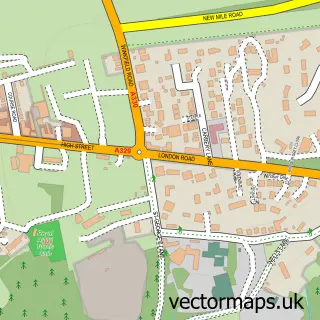
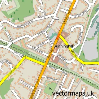
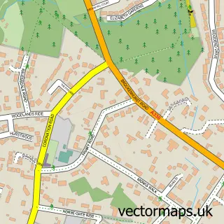
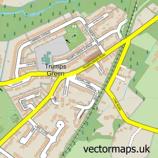
This Sunningdale street map is a detailed vector street map covering a 750m x 750m area. Select a larger area to create and download your own vector street map of Sunningdale.
The 750-metre map sample for Sunningdale covers 221 mapped buildings and approximately 10.4 km of road detail, of which 19 named roads are named. The immediate area includes 1 railway station, 2 GP surgeries within 2 miles, 1 pub and 1 MOT station within 2 miles. The wider area around Sunningdale features 2 tourism points of interest, 6 food and drink venues and 1 hotel. To create a larger or custom map of Sunningdale, the map builder lets you define your own coverage area and download editable SVG, PDF and PNG files.
Create a larger editable map of Sunningdale
Choose any area you need and generate a high-quality vector map instantly. Perfect for print, planning, design, business and personal use.

This Sunningdale street map in Berkshire is available as downloadable SVG, PDF and PNG map files, or as a printed map for planning, business, display, education, local information and design work. You can also create a larger custom map area using the map selector.
What this Sunningdale map sample shows
Sunningdale lies within Sunningdale Cp parish, part of Sunningdale & Cheapside ward in the Windsor And Maidenhead (B) local authority area. The postcode geography for this area includes the SL postcode area, the SL5 postcode district and the SL5 0 postcode sector. Residents fall under the Nhs Frimley Integrated Care Board for NHS services.
Local features near Sunningdale
Within 2 milesAmenities and services in and around Sunningdale.
Administrative and postcode information for Sunningdale
Sunningdale lies within Sunningdale Cp parish, part of Sunningdale & Cheapside ward in the Windsor And Maidenhead (B) local authority area. The postcode geography for this area includes the SL postcode area, the SL5 postcode district and the SL5 0 postcode sector. Residents fall under the Nhs Frimley Integrated Care Board for NHS services.
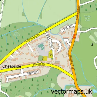
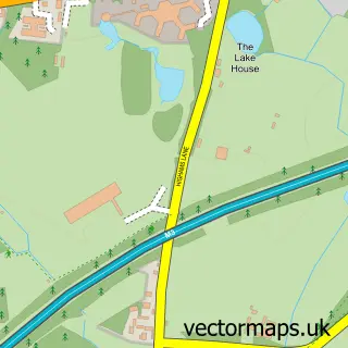
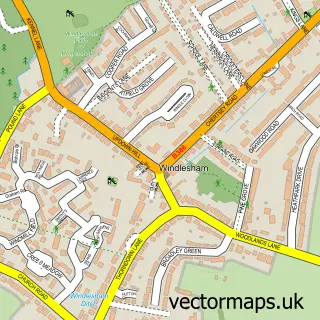
Nearby street map samples around Sunningdale

More street maps in Berkshire
750 metre map area coverage
Boundary, postcode and point of interest information for the 750m x 750m rectangle centred on this sample map.
Boundaries containing map centre
Constituency: Windsor Co Const
District: Windsor and Maidenhead (B)
Icb: NHS Frimley ICB
Parish: Sunningdale CP
Police Force: thames valley
Postcode District: SL5
Postcode Sector: SL5 0
Ward: Sunningdale & Cheapside Ward
Nearby boundaries intersecting sample
Postcode Sector: SL5 9
Postcode coverage
POI category counts
Real Estate Agent: 7
Hair Salon: 5
Property Management: 5
Business Management Services: 4
Dry Cleaning: 4
Fast Food Restaurant: 4
Pizza Restaurant: 4
Professional Services: 4
Building Supply Store: 3
Coffee Shop: 3
Sample points of interest
- Davis Burton Sellek
- Top Draw
- Twenty 20 Architecture
- Alan Kluckow Fine Art
- Jo Downs Handmade Glass
- Direct Clothing Company
- Augustus House - Retirement Living Plus - McCarthy Stone
- Sunningdale Allotments
- Barclays Bank
- HSBC Bank
- 45 Deli Bar & Grill
- The Barber Shop Sunningdale
Create a larger editable map of Sunningdale
This sample shows only a 750 metre area. To create a larger map of Sunningdale, use our map builder to choose your own coverage area, add titles and download editable SVG, PDF and PNG files.
Create a custom map of Sunningdale