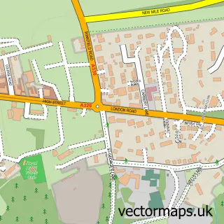
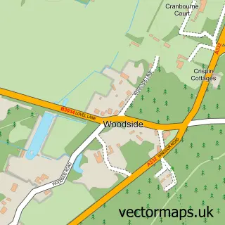
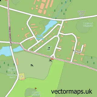
This Cheapside street map is a detailed vector street map covering a 750m x 750m area. Select a larger area to create and download your own vector street map of Cheapside.
The 750-metre map sample for Cheapside covers 172 mapped buildings and approximately 11.5 km of road detail, of which 9 named roads are named. The immediate area includes 1 school, 4 GP surgeries within 2 miles, 2 pubs and 3 MOT stations within 2 miles. The wider area around Cheapside features 1 tourism point of interest and 2 food and drink venues. To create a larger or custom map of Cheapside, the map builder lets you define your own coverage area and download editable SVG, PDF and PNG files.
Create a larger editable map of Cheapside
Choose any area you need and generate a high-quality vector map instantly. Perfect for print, planning, design, business and personal use.

This Cheapside street map in Berkshire is available as downloadable SVG, PDF and PNG map files, or as a printed map for planning, business, display, education, local information and design work. You can also create a larger custom map area using the map selector.
What this Cheapside map sample shows
Cheapside lies within Winkfield Cp parish, part of Winkfield And Cranbourne ward in the Bracknell Forest (B) local authority area. The postcode geography for this area includes the SL postcode area, the SL4 postcode district and the SL4 2 postcode sector. Residents fall under the Nhs Frimley Integrated Care Board for NHS services.
Local features near Cheapside
Within 2 milesAmenities and services in and around Cheapside.
Administrative and postcode information for Cheapside
The local authority covering Cheapside is Bracknell Forest (B), within the county of Berkshire. The settlement lies within Winkfield And Cranbourne ward and Winkfield Cp civil parish. The SL4 postcode district and SL4 2 postcode sector serve the immediate area. NHS provision in the area is delivered through Frimley Health Nhs Foundation Trust.
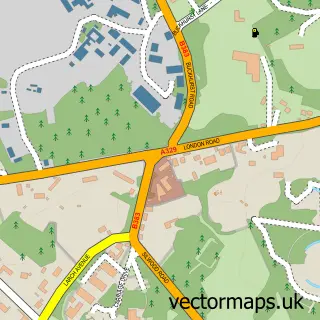
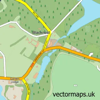
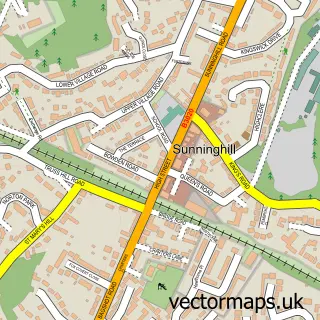
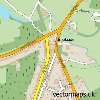
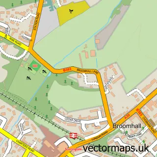
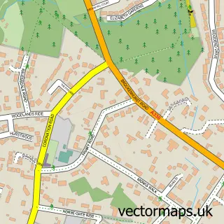
Nearby street map samples around Cheapside

More street maps in Berkshire
750 metre map area coverage
Boundary, postcode and point of interest information for the 750m x 750m rectangle centred on this sample map.
Boundaries containing map centre
Constituency: Windsor Co Const
District: Windsor and Maidenhead (B)
Icb: NHS Frimley ICB
Parish: Sunninghill and Ascot CP
Police Force: thames valley
Postcode District: SL5
Postcode Sector: SL5 7
Ward: Sunningdale & Cheapside Ward
Nearby boundaries intersecting sample
Constituency: Maidenhead Co Const
District: Bracknell Forest (B)
Parish: Winkfield CP
Ward: Ascot & Sunninghill Ward, Winkfield & Warfield East Ward
Postcode coverage
POI category counts
Pet Groomer: 2
Pub: 2
Accountant: 1
Architectural Designer: 1
Beauty And Spa: 1
Building Supply Store: 1
Business Consulting: 1
Cleaning Services: 1
Elementary School: 1
Event Planning: 1
Sample points of interest
- Minerva Accountants Ltd.
- Ascot Architecture
- 27 Salon
- Boiler Servicing 24-7
- Spencer Cox & Partners
- Your Home Solutions
- Cheapside Primary School
- Cheapside Village Hall
- Scrivener Financial Ltd
- Scrivener Financial
- Ascot Tree Services
- Salon 27
Create a larger editable map of Cheapside
This sample shows only a 750 metre area. To create a larger map of Cheapside, use our map builder to choose your own coverage area, add titles and download editable SVG, PDF and PNG files.
Create a custom map of Cheapside