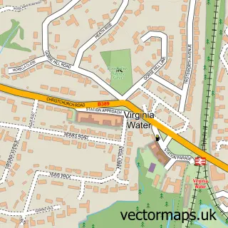
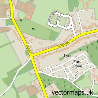
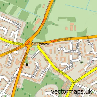
This Trumps Green street map is a detailed vector street map covering a 750m x 750m area. Select a larger area to create and download your own vector street map of Trumps Green.
The 750-metre map sample for Trumps Green covers 292 mapped buildings and approximately 12.6 km of road detail, of which 18 named roads are named. The immediate area includes 1 school, 1 GP surgery within 2 miles and 2 MOT stations within 2 miles. The wider area around Trumps Green features 2 tourism points of interest and 2 food and drink venues. To create a larger or custom map of Trumps Green, the map builder lets you define your own coverage area and download editable SVG, PDF and PNG files.
Create a larger editable map of Trumps Green
Choose any area you need and generate a high-quality vector map instantly. Perfect for print, planning, design, business and personal use.

This Trumps Green street map in Surrey is available as downloadable SVG, PDF and PNG map files, or as a printed map for planning, business, display, education, local information and design work. You can also create a larger custom map area using the map selector.
What this Trumps Green map sample shows
Trumps Green lies within Surrey County parish, part of Virginia Water ward in the Runnymede District (B) local authority area. The postcode geography for this area includes the GU postcode area, the GU25 postcode district and the GU25 4 postcode sector. Residents fall under the Nhs Surrey Heartlands Integrated Care Board for NHS services.
Local features near Trumps Green
Within 2 milesAmenities and services in and around Trumps Green.
Administrative and postcode information for Trumps Green
The local authority covering Trumps Green is Runnymede District (B), within the county of Surrey. The settlement lies within Virginia Water ward and Surrey County civil parish. The GU25 postcode district and GU25 4 postcode sector serve the immediate area. NHS provision in the area is delivered through Ashford And St Peter's Hospitals Nhs Foundation Trust.
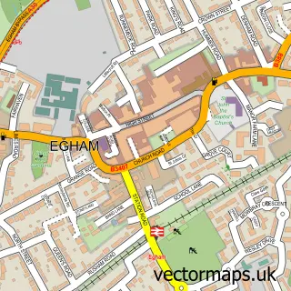
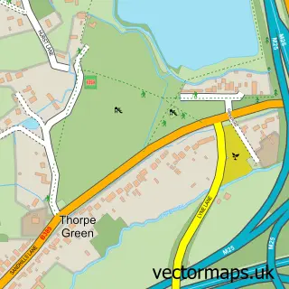
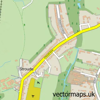
Nearby street map samples around Trumps Green

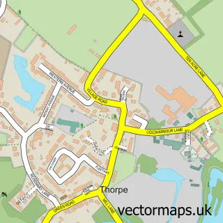
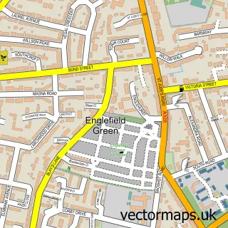
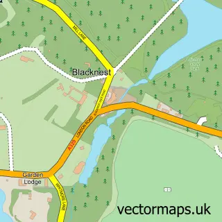
More street maps in Surrey
750 metre map area coverage
Boundary, postcode and point of interest information for the 750m x 750m rectangle centred on this sample map.
Boundaries containing map centre
Constituency: Windsor Co Const
County: Surrey County
District: Runnymede District (B)
Icb: NHS Surrey and Sussex ICB
Police Force: surrey
Postcode District: GU25
Postcode Sector: GU25 4
Ward: Virginia Water Ward
Nearby boundaries intersecting sample
Ward: Longcross, Lyne & Chertsey South Ward
Postcode coverage
POI category counts
Beauty Salon: 2
Elementary School: 2
Furniture Store: 2
Painting: 2
Post Office: 2
Real Estate Agent: 2
Alternative Medicine: 1
Animal Shelter: 1
Attractions And Activities: 1
Barber: 1
Sample points of interest
- Surrey Placentas
- Posh Dog Boarding
- Cabrera Trust Riverside Walk
- Base Nineteen
- The Creation Station Aldermaston & Harley St
- By Lily Caitlin
- Heaven at number 7 Virginia Water
- Savannah Bed & Breakfast
- S P S
- Armadillo Coffee Club
- Armadillo Coffee Club
- Virginia Water Community Centre
Create a larger editable map of Trumps Green
This sample shows only a 750 metre area. To create a larger map of Trumps Green, use our map builder to choose your own coverage area, add titles and download editable SVG, PDF and PNG files.
Create a custom map of Trumps Green