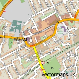
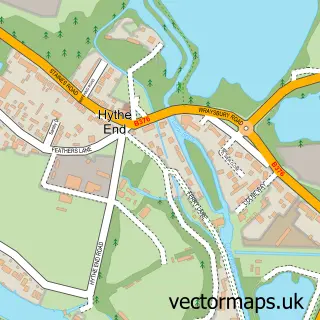
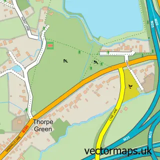
This Englefield Green street map is a detailed vector street map covering a 750m x 750m area. Select a larger area to create and download your own vector street map of Englefield Green.
The 750-metre map sample for Englefield Green covers 494 mapped buildings and approximately 21.0 km of road detail, of which 45 named roads are named. The immediate area includes 2 schools, 1 GP surgery, with 3 within 2 miles, 2 pubs and 1 MOT station, with 8 within 2 miles. The wider area around Englefield Green features 4 food and drink venues and 1 hotel. To create a larger or custom map of Englefield Green, the map builder lets you define your own coverage area and download editable SVG, PDF and PNG files.
Create a larger editable map of Englefield Green
Choose any area you need and generate a high-quality vector map instantly. Perfect for print, planning, design, business and personal use.

This Englefield Green street map in Surrey is available as downloadable SVG, PDF and PNG map files, or as a printed map for planning, business, display, education, local information and design work. You can also create a larger custom map area using the map selector.
What this Englefield Green map sample shows
Englefield Green lies within Surrey County parish, part of Englefield Green East ward in the Runnymede District (B) local authority area. The postcode geography for this area includes the TW postcode area, the TW20 postcode district and the TW20 0 postcode sector. Residents fall under the Nhs Frimley Integrated Care Board for NHS services.
Local features near Englefield Green
Within 2 milesAmenities and services in and around Englefield Green.
Administrative and postcode information for Englefield Green
The local authority covering Englefield Green is Runnymede District (B), within the county of Surrey. The settlement lies within Englefield Green East ward and Surrey County civil parish. The TW20 postcode district and TW20 0 postcode sector serve the immediate area. NHS provision in the area is delivered through Ashford And St Peter's Hospitals Nhs Foundation Trust.
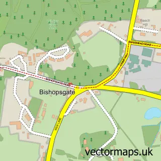
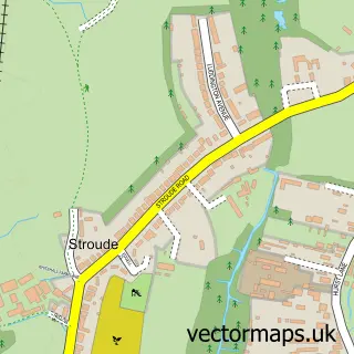
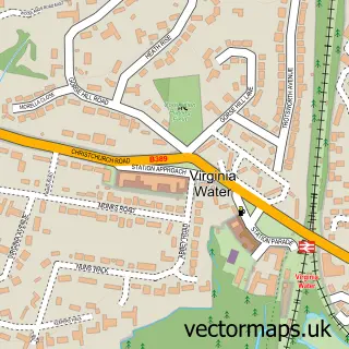
Nearby street map samples around Englefield Green

More street maps in Surrey
750 metre map area coverage
Boundary, postcode and point of interest information for the 750m x 750m rectangle centred on this sample map.
Boundaries containing map centre
Constituency: Windsor Co Const
County: Surrey County
District: Runnymede District (B)
Icb: NHS Frimley ICB
Police Force: surrey
Postcode District: TW20
Postcode Sector: TW20 0
Ward: Englefield Green West Ward
Nearby boundaries intersecting sample
Ward: Englefield Green East Ward
Postcode coverage
POI category counts
Professional Services: 5
Real Estate Agent: 5
Convenience Store: 3
Hair Salon: 3
Indian Restaurant: 3
It Service And Computer Repair: 3
Liquor Store: 3
Pizza Restaurant: 3
Public Service And Government: 3
Accommodation: 2
Sample points of interest
- Highfield Residence
- Penrose Court
- Exceed Chartered Accountants
- Fine & Country Englefield Green
- Vct
- St Jude's (Anglicans + Methodists working together)
- Fred Herbst Architecture
- Genevieve's Gallery
- Queen Elizabeth Care Centre
- Clairvoyant Tarot Reader Palmist & Runes
- Spar (Link DC)
- Ap Diesels Ltd.
Create a larger editable map of Englefield Green
This sample shows only a 750 metre area. To create a larger map of Englefield Green, use our map builder to choose your own coverage area, add titles and download editable SVG, PDF and PNG files.
Create a custom map of Englefield Green