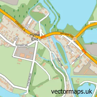
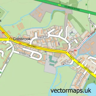
This Wraysbury street map is a detailed vector street map covering a 750m x 750m area. Select a larger area to create and download your own vector street map of Wraysbury.
The 750-metre map sample for Wraysbury covers 362 mapped buildings and approximately 12.4 km of road detail, of which 20 named roads are named. The immediate area includes 1 school, 2 GP surgeries within 2 miles, 1 pub and 1 MOT station, with 8 within 2 miles. The wider area around Wraysbury features 1 tourism point of interest and 1 food and drink venue. To create a larger or custom map of Wraysbury, the map builder lets you define your own coverage area and download editable SVG, PDF and PNG files.
Create a larger editable map of Wraysbury
Choose any area you need and generate a high-quality vector map instantly. Perfect for print, planning, design, business and personal use.

This Wraysbury street map in Berkshire is available as downloadable SVG, PDF and PNG map files, or as a printed map for planning, business, display, education, local information and design work. You can also create a larger custom map area using the map selector.
What this Wraysbury map sample shows
Wraysbury lies within Wraysbury Cp parish, part of Datchet, Horton & Wraysbury ward in the Windsor And Maidenhead (B) local authority area. The postcode geography for this area includes the TW postcode area, the TW19 postcode district and the TW19 5 postcode sector. Residents fall under the Nhs Frimley Integrated Care Board for NHS services.
Local features near Wraysbury
Within 2 milesAmenities and services in and around Wraysbury.
Administrative and postcode information for Wraysbury
Wraysbury lies within Wraysbury Cp parish, part of Datchet, Horton & Wraysbury ward in the Windsor And Maidenhead (B) local authority area. The postcode geography for this area includes the TW postcode area, the TW19 postcode district and the TW19 5 postcode sector. Residents fall under the Nhs Frimley Integrated Care Board for NHS services.
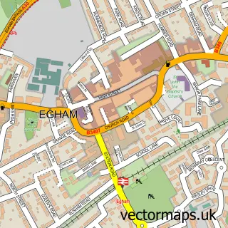
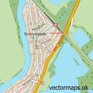
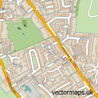
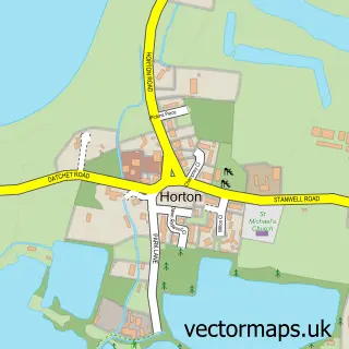
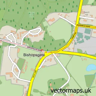
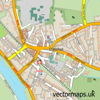
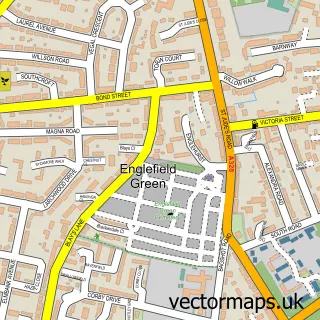
Nearby street map samples around Wraysbury

More street maps in Berkshire
750 metre map area coverage
Boundary, postcode and point of interest information for the 750m x 750m rectangle centred on this sample map.
Boundaries containing map centre
Constituency: Windsor Co Const
District: Windsor and Maidenhead (B)
Icb: NHS Frimley ICB
Parish: Wraysbury CP
Police Force: thames valley
Postcode District: TW19
Postcode Sector: TW19 5
Ward: Datchet, Horton & Wraysbury Ward
Nearby boundaries intersecting sample
No additional intersecting boundaries found.
Postcode coverage
POI category counts
Real Estate Agent: 3
Anglican Church: 2
Automotive Repair: 2
Beauty Salon: 2
Convenience Store: 2
Dentist: 2
Event Technology Service: 2
Financial Advising: 2
Party Supply: 2
Swimming Instructor: 2
Sample points of interest
- First Small Business
- St Andrew Church Wraysbury
- St. Andrew's Church
- The Wraysbury Stumpery
- Bizee Cars
- Lakeside Garage
- Sugar and Chic
- Diamonds Lashes and Beauty
- Naturalise Studio
- Bluebell Cottage Staines
- Fashionista
- Anthony Britton Photography
Create a larger editable map of Wraysbury
This sample shows only a 750 metre area. To create a larger map of Wraysbury, use our map builder to choose your own coverage area, add titles and download editable SVG, PDF and PNG files.
Create a custom map of Wraysbury