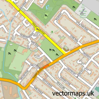
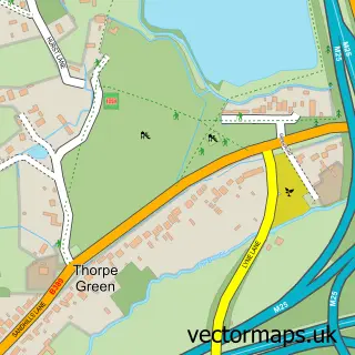
This Egham street map is a detailed vector street map covering a 750m x 750m area. Select a larger area to create and download your own vector street map of Egham.
The 750-metre map sample for Egham covers 461 mapped buildings and approximately 20.0 km of road detail, of which 49 named roads are named. The immediate area includes 1 school, 1 railway station, 1 GP surgery, with 3 within 2 miles and 2 pubs among other local services. The wider area around Egham features 5 tourism points of interest, 15 food and drink venues and 1 hotel. To create a larger or custom map of Egham, the map builder lets you define your own coverage area and download editable SVG, PDF and PNG files.
Create a larger editable map of Egham
Choose any area you need and generate a high-quality vector map instantly. Perfect for print, planning, design, business and personal use.

This Egham street map in Surrey is available as downloadable SVG, PDF and PNG map files, or as a printed map for planning, business, display, education, local information and design work. You can also create a larger custom map area using the map selector.
What this Egham map sample shows
Egham lies within Surrey County parish, part of Egham Town ward in the Runnymede District (B) local authority area. The postcode geography for this area includes the TW postcode area, the TW20 postcode district and the TW20 9 postcode sector. Residents fall under the Nhs Surrey Heartlands Integrated Care Board for NHS services.
Local features near Egham
Within 2 milesAmenities and services in and around Egham.
Administrative and postcode information for Egham
The local authority covering Egham is Runnymede District (B), within the county of Surrey. The settlement lies within Egham Town ward and Surrey County civil parish. The TW20 postcode district and TW20 9 postcode sector serve the immediate area. NHS provision in the area is delivered through Ashford And St Peter's Hospitals Nhs Foundation Trust.
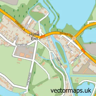
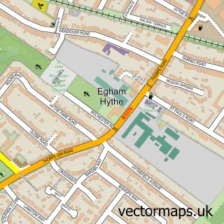
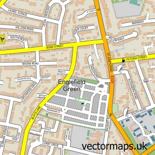
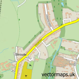
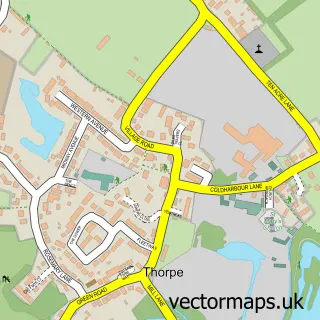
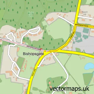
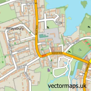
Nearby street map samples around Egham

More street maps in Surrey
750 metre map area coverage
Boundary, postcode and point of interest information for the 750m x 750m rectangle centred on this sample map.
Boundaries containing map centre
Constituency: Runnymede and Weybridge Co Const
County: Surrey County
District: Runnymede District (B)
Icb: NHS Surrey and Sussex ICB
Police Force: surrey
Postcode District: TW20
Postcode Sector: TW20 9
Ward: Egham Town Ward
Nearby boundaries intersecting sample
Postcode Sector: TW20 0
Postcode coverage
POI category counts
Beauty Salon: 10
Dentist: 9
Hair Salon: 8
Real Estate Agent: 8
Barber: 7
Coffee Shop: 7
Fast Food Restaurant: 7
Professional Services: 7
Employment Agencies: 6
Gym: 6
Sample points of interest
- Egham Town Centre
- AIMS Accountants for Business
- Howard And Company
- Isosceles Finance
- Egham Acupuncture
- 123 Franchising
- Holly Digital
- Ed Winslet Vocal Coaching
- Hypnotherapy & Hypnosinging By Ed Winslet
- The British Institute of Homoepathy
- St John's Egham
- Prestige House
Create a larger editable map of Egham
This sample shows only a 750 metre area. To create a larger map of Egham, use our map builder to choose your own coverage area, add titles and download editable SVG, PDF and PNG files.
Create a custom map of Egham