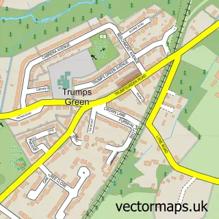
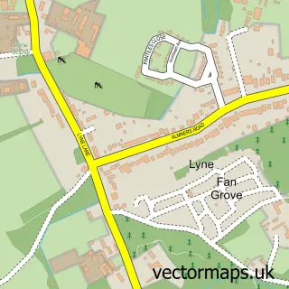
This Stroude street map is a detailed vector street map covering a 750m x 750m area. Select a larger area to create and download your own vector street map of Stroude.
The 750-metre map sample for Stroude covers 228 mapped buildings and approximately 5.2 km of road detail, of which 7 named roads are named. The immediate area includes 4 GP surgeries within 2 miles and 9 MOT stations within 2 miles. To create a larger or custom map of Stroude, the map builder lets you define your own coverage area and download editable SVG, PDF and PNG files.
Create a larger editable map of Stroude
Choose any area you need and generate a high-quality vector map instantly. Perfect for print, planning, design, business and personal use.

This Stroude street map in Surrey is available as downloadable SVG, PDF and PNG map files, or as a printed map for planning, business, display, education, local information and design work. You can also create a larger custom map area using the map selector.
What this Stroude map sample shows
Stroude lies within Surrey County parish, part of Virginia Water ward in the Runnymede District (B) local authority area. The postcode geography for this area includes the GU postcode area, the GU25 postcode district and the GU25 4 postcode sector. Residents fall under the Nhs Surrey Heartlands Integrated Care Board for NHS services.
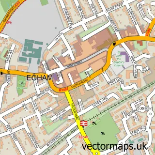
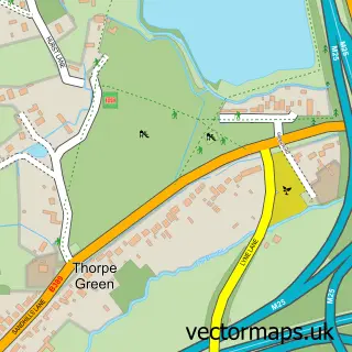
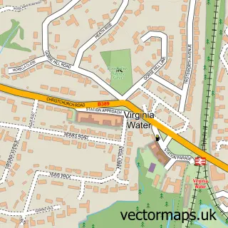
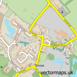
Local features near Stroude
Within 2 milesAmenities and services in and around Stroude.
Administrative and postcode information for Stroude
The local authority covering Stroude is Runnymede District (B), within the county of Surrey. The settlement lies within Virginia Water ward and Surrey County civil parish. The GU25 postcode district and GU25 4 postcode sector serve the immediate area. NHS provision in the area is delivered through Ashford And St Peter's Hospitals Nhs Foundation Trust.
Nearby street map samples around Stroude

More street maps in Surrey
750 metre map area coverage
Boundary, postcode and point of interest information for the 750m x 750m rectangle centred on this sample map.
Boundaries containing map centre
Constituency: Windsor Co Const
County: Surrey County
District: Runnymede District (B)
Icb: NHS Surrey and Sussex ICB
Police Force: surrey
Postcode District: GU25
Postcode Sector: GU25 4
Ward: Virginia Water Ward
Nearby boundaries intersecting sample
Constituency: Runnymede and Weybridge Co Const
Postcode District: TW20
Postcode Sector: TW20 8, TW20 9
Ward: Egham Town Ward
Postcode coverage
POI category counts
Automotive Repair: 3
Bed And Breakfast: 2
Grain Elevators: 2
Appliance Manufacturer: 1
Brewery: 1
British Restaurant: 1
Business Manufacturing And Supply: 1
Ceiling Service: 1
Contractor: 1
Electrician: 1
Sample points of interest
- SRM Joinery
- D & G Pitstop Garage
- The Virginia Water Motor Company
- Virginia Water Garage
- Savannah Bed & Breakfast
- Savannah Bed And Breakfast
- Hedgedog Brewing Ltd.
- The Lavender Hen Supper Club
- Immediate Ice Ltd
- Connect Roofing
- H B Paving
- Payne Electrical
Create a larger editable map of Stroude
This sample shows only a 750 metre area. To create a larger map of Stroude, use our map builder to choose your own coverage area, add titles and download editable SVG, PDF and PNG files.
Create a custom map of Stroude