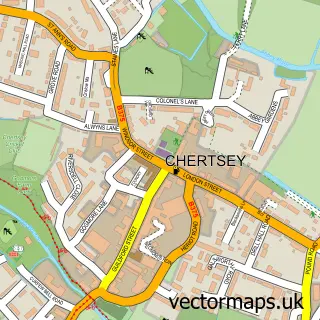
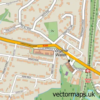
This Lyne street map is a detailed vector street map covering a 750m x 750m area. Select a larger area to create and download your own vector street map of Lyne.
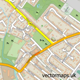
The 750-metre map sample for Lyne covers 257 mapped buildings and approximately 7.6 km of road detail, of which 2 named roads are named. The immediate area includes 2 GP surgeries within 2 miles, 2 pubs and 7 MOT stations within 2 miles. The wider area around Lyne features 2 food and drink venues. To create a larger or custom map of Lyne, the map builder lets you define your own coverage area and download editable SVG, PDF and PNG files.
Create a larger editable map of Lyne
Choose any area you need and generate a high-quality vector map instantly. Perfect for print, planning, design, business and personal use.

This Lyne street map in Surrey is available as downloadable SVG, PDF and PNG map files, or as a printed map for planning, business, display, education, local information and design work. You can also create a larger custom map area using the map selector.
What this Lyne map sample shows
Lyne lies within Surrey County parish, part of Longcross, Lyne & Chertsey South ward in the Runnymede District (B) local authority area. The postcode geography for this area includes the KT postcode area, the KT16 postcode district and the KT16 0 postcode sector. Residents fall under the Nhs Surrey Heartlands Integrated Care Board for NHS services.
Local features near Lyne
Within 2 milesAmenities and services in and around Lyne.
Administrative and postcode information for Lyne
Lyne lies within Surrey County parish, part of Longcross, Lyne & Chertsey South ward in the Runnymede District (B) local authority area. The postcode geography for this area includes the KT postcode area, the KT16 postcode district and the KT16 0 postcode sector. Residents fall under the Nhs Surrey Heartlands Integrated Care Board for NHS services.
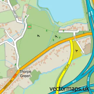
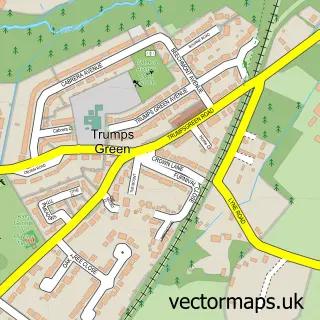
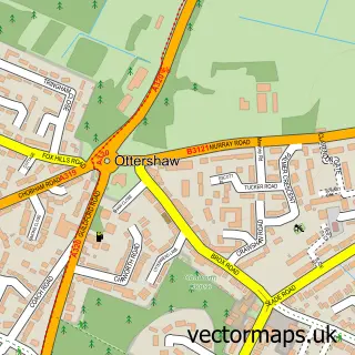
Nearby street map samples around Lyne

More street maps in Surrey
750 metre map area coverage
Boundary, postcode and point of interest information for the 750m x 750m rectangle centred on this sample map.
Boundaries containing map centre
Constituency: Runnymede and Weybridge Co Const
County: Surrey County
District: Runnymede District (B)
Icb: NHS Surrey and Sussex ICB
Police Force: surrey
Postcode District: KT16
Postcode Sector: KT16 0
Ward: Longcross, Lyne & Chertsey South Ward
Nearby boundaries intersecting sample
No additional intersecting boundaries found.
Postcode coverage
POI category counts
Automotive Repair: 2
Landscaping: 2
Pet Services: 2
Pub: 2
Automotive: 1
Business Manufacturing And Supply: 1
Car Dealer: 1
Ceiling Service: 1
Community Center: 1
Drugstore: 1
Sample points of interest
- Anytime Autos
- Anytime Autos
- Car Tec Performance
- Foenix Coding Ltd - FX ONE - The must have Carton Coder
- E-motion Cars
- J & J Wall Based In Surrey
- Lyne Village Hall
- S G Court
- Stilwell Music
- Merrywood Farm Equestrian Centre
- True Potential Wealth Management
- Tailored Lawn Care
Create a larger editable map of Lyne
This sample shows only a 750 metre area. To create a larger map of Lyne, use our map builder to choose your own coverage area, add titles and download editable SVG, PDF and PNG files.
Create a custom map of Lyne