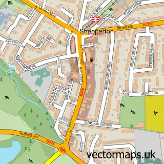
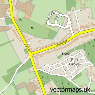
This Laleham street map is a detailed vector street map covering a 750m x 750m area. Select a larger area to create and download your own vector street map of Laleham.
The 750-metre map sample for Laleham covers 268 mapped buildings and approximately 13.2 km of road detail, of which 18 named roads are named. The immediate area includes 1 school, 5 GP surgeries within 2 miles, 4 pubs and 16 MOT stations within 2 miles. The wider area around Laleham features 2 tourism points of interest, 5 food and drink venues and 1 campsite within 2 miles. To create a larger or custom map of Laleham, the map builder lets you define your own coverage area and download editable SVG, PDF and PNG files.
Create a larger editable map of Laleham
Choose any area you need and generate a high-quality vector map instantly. Perfect for print, planning, design, business and personal use.

This Laleham street map in Surrey is available as downloadable SVG, PDF and PNG map files, or as a printed map for planning, business, display, education, local information and design work. You can also create a larger custom map area using the map selector.
What this Laleham map sample shows
Laleham lies within Surrey County parish, part of Laleham And Shepperton Green ward in the Spelthorne District (B) local authority area. The postcode geography for this area includes the TW postcode area, the TW18 postcode district and the TW18 1 postcode sector. Residents fall under the Nhs Surrey Heartlands Integrated Care Board for NHS services.
Local features near Laleham
Within 2 milesAmenities and services in and around Laleham.
Administrative and postcode information for Laleham
Laleham lies within Surrey County parish, part of Laleham And Shepperton Green ward in the Spelthorne District (B) local authority area. The postcode geography for this area includes the TW postcode area, the TW18 postcode district and the TW18 1 postcode sector. Residents fall under the Nhs Surrey Heartlands Integrated Care Board for NHS services.
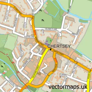
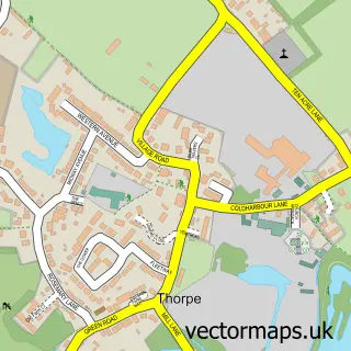
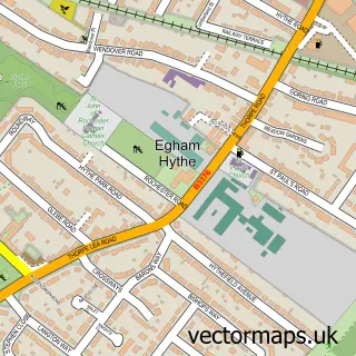
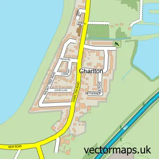
Nearby street map samples around Laleham

More street maps in Surrey
750 metre map area coverage
Boundary, postcode and point of interest information for the 750m x 750m rectangle centred on this sample map.
Boundaries containing map centre
Constituency: Spelthorne Boro Const
County: Surrey County
District: Spelthorne District (B)
Icb: NHS Surrey and Sussex ICB
Police Force: surrey
Postcode District: TW18
Postcode Sector: TW18 1
Ward: Laleham and Shepperton Green Ward
Nearby boundaries intersecting sample
Constituency: Runnymede and Weybridge Co Const
District: Runnymede District (B)
Postcode District: KT16
Postcode Sector: KT16 8, TW18 2
Ward: Thorpe Ward
Postcode coverage
POI category counts
Pub: 4
Church Cathedral: 2
Convenience Store: 2
Hair Salon: 2
Park: 2
Shipping Center: 2
Sports Club And League: 2
Tree Services: 2
Adult Education: 1
Antique Store: 1
Sample points of interest
- Phillips Export Training
- Laleham Antiques
- Matthew Calvert Architect
- Thats a Wrap
- 4 All Marine
- Thorobred CARS
- Turks Head
- Home Counties Design And Build
- Complete Systems Integration Consulting Limited
- The Lucan Tea Room
- Vantastic UK
- Whitman Bevis
Create a larger editable map of Laleham
This sample shows only a 750 metre area. To create a larger map of Laleham, use our map builder to choose your own coverage area, add titles and download editable SVG, PDF and PNG files.
Create a custom map of Laleham