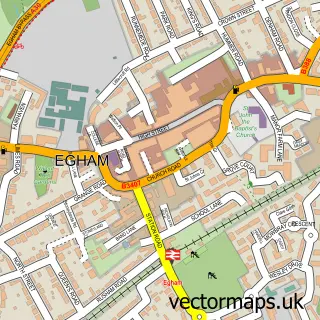
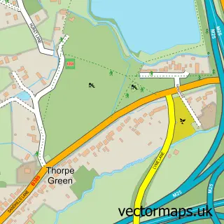
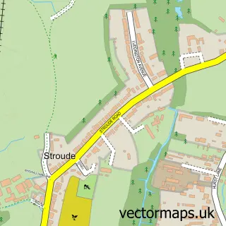
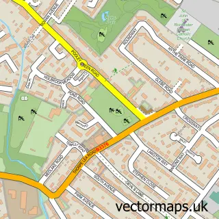
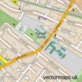
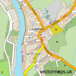
This Thorpe street map is a detailed vector street map covering a 750m x 750m area. Select a larger area to create and download your own vector street map of Thorpe.
The 750-metre map sample for Thorpe covers 274 mapped buildings and approximately 9.6 km of road detail, of which 19 named roads are named. The immediate area includes 1 school, 5 GP surgeries within 2 miles, 2 pubs and 15 MOT stations within 2 miles. The wider area around Thorpe features 1 tourism point of interest and 2 food and drink venues. To create a larger or custom map of Thorpe, the map builder lets you define your own coverage area and download editable SVG, PDF and PNG files.
Create a larger editable map of Thorpe
Choose any area you need and generate a high-quality vector map instantly. Perfect for print, planning, design, business and personal use.

This Thorpe street map in Surrey is available as downloadable SVG, PDF and PNG map files, or as a printed map for planning, business, display, education, local information and design work. You can also create a larger custom map area using the map selector.
What this Thorpe map sample shows
Thorpe lies within Surrey County parish, part of Thorpe ward in the Runnymede District (B) local authority area. The postcode geography for this area includes the TW postcode area, the TW20 postcode district and the TW20 8 postcode sector. Residents fall under the Nhs Surrey Heartlands Integrated Care Board for NHS services.
Local features near Thorpe
Within 2 milesAmenities and services in and around Thorpe.
Administrative and postcode information for Thorpe
The local authority covering Thorpe is Runnymede District (B), within the county of Surrey. The settlement lies within Thorpe ward and Surrey County civil parish. The TW20 postcode district and TW20 8 postcode sector serve the immediate area. NHS provision in the area is delivered through Ashford And St Peter's Hospitals Nhs Foundation Trust.
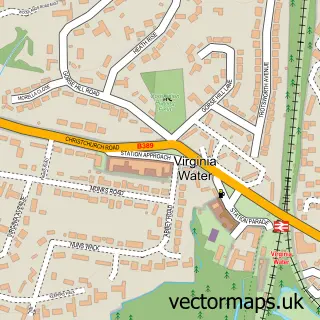
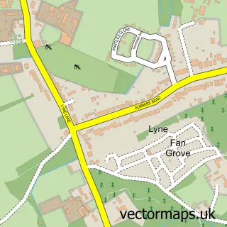
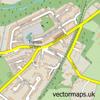
Nearby street map samples around Thorpe

More street maps in Surrey
750 metre map area coverage
Boundary, postcode and point of interest information for the 750m x 750m rectangle centred on this sample map.
Boundaries containing map centre
Constituency: Runnymede and Weybridge Co Const
County: Surrey County
District: Runnymede District (B)
Icb: NHS Surrey and Sussex ICB
Police Force: surrey
Postcode District: TW20
Postcode Sector: TW20 8
Ward: Thorpe Ward
Nearby boundaries intersecting sample
No additional intersecting boundaries found.
Postcode coverage
POI category counts
Alternative Medicine: 2
Korean Grocery Store: 2
Pub: 2
Automotive Repair: 1
Business Management Services: 1
Childrens Clothing Store: 1
Church Cathedral: 1
Clothing Store: 1
College University: 1
Community Center: 1
Sample points of interest
- Catherine Baddock LCHE, RsHOM, BCMA
- Christine Key
- Taylor P J
- Lift Truck Solutions
- Laurie Maskall Menswear
- St Mary's Church, Thorpe
- How to Wear What
- Tasis England
- Thorpe Village Hall
- Thorpe Services
- Total Electrical Services & Testing
- Thorpe C of E Infant School
Create a larger editable map of Thorpe
This sample shows only a 750 metre area. To create a larger map of Thorpe, use our map builder to choose your own coverage area, add titles and download editable SVG, PDF and PNG files.
Create a custom map of Thorpe