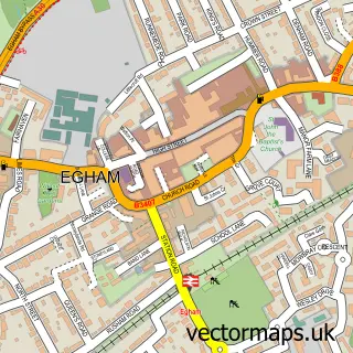
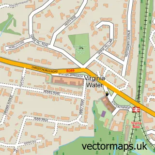
This Pooley Green street map is a detailed vector street map covering a 750m x 750m area. Select a larger area to create and download your own vector street map of Pooley Green.
The 750-metre map sample for Pooley Green covers 561 mapped buildings and approximately 16.3 km of road detail, of which 34 named roads are named. The immediate area includes 1 school, 1 GP surgery, with 5 within 2 miles, 2 pubs and 2 MOT stations, with 14 within 2 miles. The wider area around Pooley Green features 2 tourism points of interest and 6 food and drink venues. To create a larger or custom map of Pooley Green, the map builder lets you define your own coverage area and download editable SVG, PDF and PNG files.
Create a larger editable map of Pooley Green
Choose any area you need and generate a high-quality vector map instantly. Perfect for print, planning, design, business and personal use.

This Pooley Green street map in Surrey is available as downloadable SVG, PDF and PNG map files, or as a printed map for planning, business, display, education, local information and design work. You can also create a larger custom map area using the map selector.
What this Pooley Green map sample shows
Pooley Green lies within Surrey County parish, part of Egham Town ward in the Runnymede District (B) local authority area. The postcode geography for this area includes the TW postcode area, the TW20 postcode district and the TW20 9 postcode sector. Residents fall under the Nhs Surrey Heartlands Integrated Care Board for NHS services.
Local features near Pooley Green
Within 2 milesAmenities and services in and around Pooley Green.
Administrative and postcode information for Pooley Green
Pooley Green lies within Surrey County parish, part of Egham Town ward in the Runnymede District (B) local authority area. The postcode geography for this area includes the TW postcode area, the TW20 postcode district and the TW20 9 postcode sector. Residents fall under the Nhs Surrey Heartlands Integrated Care Board for NHS services.
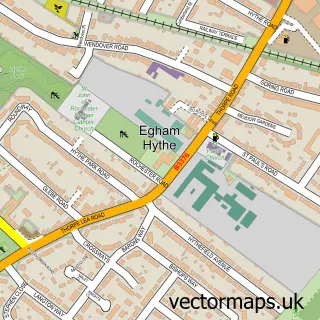
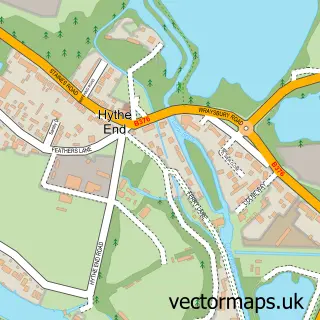
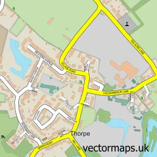
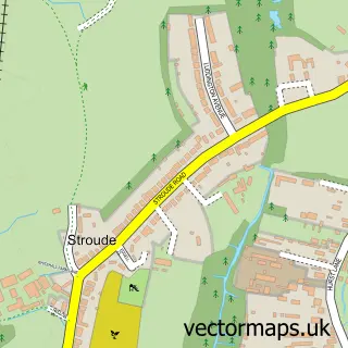
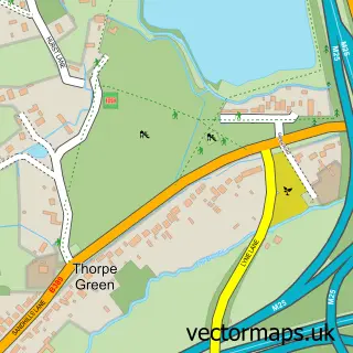
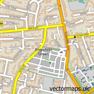
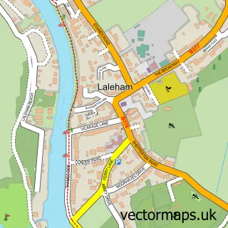
Nearby street map samples around Pooley Green

More street maps in Surrey
750 metre map area coverage
Boundary, postcode and point of interest information for the 750m x 750m rectangle centred on this sample map.
Boundaries containing map centre
Constituency: Runnymede and Weybridge Co Const
County: Surrey County
District: Runnymede District (B)
Icb: NHS Surrey and Sussex ICB
Police Force: surrey
Postcode District: TW20
Postcode Sector: TW20 8
Ward: Egham Hythe Ward
Nearby boundaries intersecting sample
Postcode District: TW18
Postcode Sector: TW18 3
Ward: Egham Town Ward, Thorpe Ward
Postcode coverage
POI category counts
Professional Services: 5
Convenience Store: 4
Contractor: 3
Gas Station: 3
Taxi Service: 3
Advertising Agency: 2
Automotive Repair: 2
Building Supply Store: 2
Cafe: 2
Chinese Restaurant: 2
Sample points of interest
- Slimming World Surrey
- Design & Consultancy
- October 21
- St George Retail Ltd
- German Auto Studio
- D&D Autos MOT and Servicing
- Thorpetone
- Magna Carta MOT and Repair
- West Cornwall Pasty Co
- Chop Shop Barbers
- Oh Feminine
- The Secret Salon
Create a larger editable map of Pooley Green
This sample shows only a 750 metre area. To create a larger map of Pooley Green, use our map builder to choose your own coverage area, add titles and download editable SVG, PDF and PNG files.
Create a custom map of Pooley Green