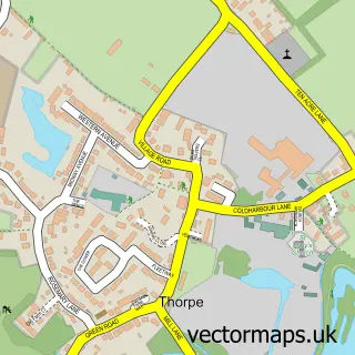
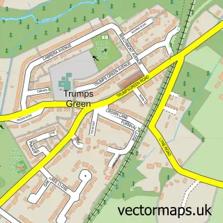
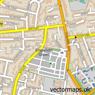
This Thorpe Green street map is a detailed vector street map covering a 750m x 750m area. Select a larger area to create and download your own vector street map of Thorpe Green.
The 750-metre map sample for Thorpe Green covers 148 mapped buildings and approximately 14.6 km of road detail, of which 5 named roads are named. The immediate area includes 3 GP surgeries within 2 miles, 1 pub and 1 MOT station, with 12 within 2 miles. The wider area around Thorpe Green features 1 food and drink venue. To create a larger or custom map of Thorpe Green, the map builder lets you define your own coverage area and download editable SVG, PDF and PNG files.
Create a larger editable map of Thorpe Green
Choose any area you need and generate a high-quality vector map instantly. Perfect for print, planning, design, business and personal use.

This Thorpe Green street map in Surrey is available as downloadable SVG, PDF and PNG map files, or as a printed map for planning, business, display, education, local information and design work. You can also create a larger custom map area using the map selector.
What this Thorpe Green map sample shows
Thorpe Green lies within Surrey County parish, part of Thorpe ward in the Runnymede District (B) local authority area. The postcode geography for this area includes the TW postcode area, the TW20 postcode district and the TW20 8 postcode sector. Residents fall under the Nhs Surrey Heartlands Integrated Care Board for NHS services.
Local features near Thorpe Green
Within 2 milesAmenities and services in and around Thorpe Green.
Administrative and postcode information for Thorpe Green
Thorpe Green lies within Surrey County parish, part of Thorpe ward in the Runnymede District (B) local authority area. The postcode geography for this area includes the TW postcode area, the TW20 postcode district and the TW20 8 postcode sector. Residents fall under the Nhs Surrey Heartlands Integrated Care Board for NHS services.
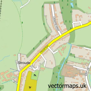
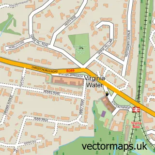
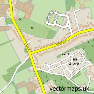
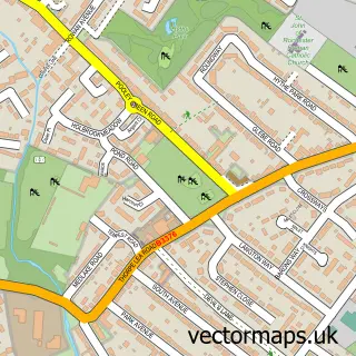
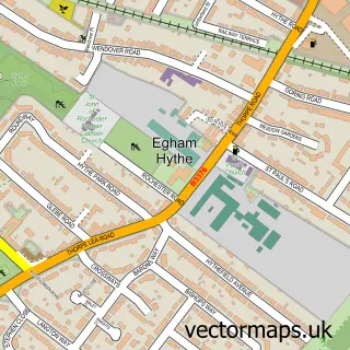
Nearby street map samples around Thorpe Green
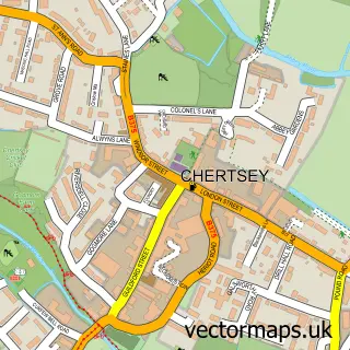

More street maps in Surrey
750 metre map area coverage
Boundary, postcode and point of interest information for the 750m x 750m rectangle centred on this sample map.
Boundaries containing map centre
Constituency: Runnymede and Weybridge Co Const
County: Surrey County
District: Runnymede District (B)
Icb: NHS Surrey and Sussex ICB
Police Force: surrey
Postcode District: TW20
Postcode Sector: TW20 8
Ward: Thorpe Ward
Nearby boundaries intersecting sample
Constituency: Windsor Co Const
Postcode District: GU25, KT16
Postcode Sector: GU25 4, KT16 0
Ward: Longcross, Lyne & Chertsey South Ward, Virginia Water Ward
Postcode coverage
POI category counts
Auto Glass Service: 1
Beauty And Spa: 1
Bed And Breakfast: 1
Brake Service And Repair: 1
Building Supply Store: 1
Ceiling Service: 1
Printing Equipment And Supply: 1
Pub: 1
Sports Club And League: 1
Yoga Studio: 1
Sample points of interest
- Homeworks Windows Doors And Bifolds
- Pure & Simple Sculpting Room
- Portobello Guest House
- Ian Allan Motors
- Agb Scaffolding Services
- Local London Roofer
- Bob Pullinger Signs
- The Rose and Crown
- Core Judo
- The Yoga-Lounge
Create a larger editable map of Thorpe Green
This sample shows only a 750 metre area. To create a larger map of Thorpe Green, use our map builder to choose your own coverage area, add titles and download editable SVG, PDF and PNG files.
Create a custom map of Thorpe Green