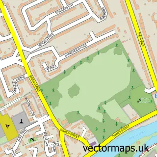
This Upper Halliford street map is a detailed vector street map covering a 750m x 750m area. Select a larger area to create and download your own vector street map of Upper Halliford.
The 750-metre map sample for Upper Halliford covers 276 mapped buildings and approximately 11.6 km of road detail, of which 17 named roads are named. The immediate area includes 8 GP surgeries within 2 miles, 2 pubs and 11 MOT stations within 2 miles. The wider area around Upper Halliford features 2 food and drink venues and 1 campsite within 2 miles. To create a larger or custom map of Upper Halliford, the map builder lets you define your own coverage area and download editable SVG, PDF and PNG files.
Create a larger editable map of Upper Halliford
Choose any area you need and generate a high-quality vector map instantly. Perfect for print, planning, design, business and personal use.

This Upper Halliford street map in Surrey is available as downloadable SVG, PDF and PNG map files, or as a printed map for planning, business, display, education, local information and design work. You can also create a larger custom map area using the map selector.
What this Upper Halliford map sample shows
Upper Halliford lies within Surrey County parish, part of Shepperton Town ward in the Spelthorne District (B) local authority area. The postcode geography for this area includes the TW postcode area, the TW17 postcode district and the TW17 9 postcode sector. Residents fall under the Nhs Surrey Heartlands Integrated Care Board for NHS services.
Local features near Upper Halliford
Within 2 milesAmenities and services in and around Upper Halliford.
Administrative and postcode information for Upper Halliford
The local authority covering Upper Halliford is Spelthorne District (B), within the county of Surrey. The settlement lies within Shepperton Town ward and Surrey County civil parish. The TW17 postcode district and TW17 9 postcode sector serve the immediate area. NHS provision in the area is delivered through Ashford And St Peter's Hospitals Nhs Foundation Trust.
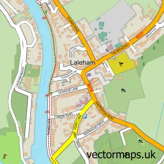
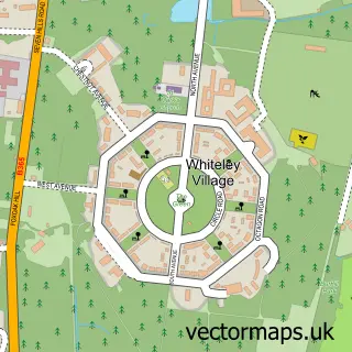
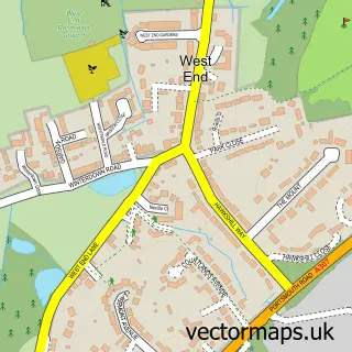
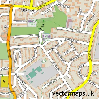
Nearby street map samples around Upper Halliford

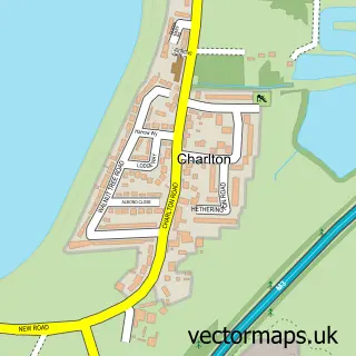
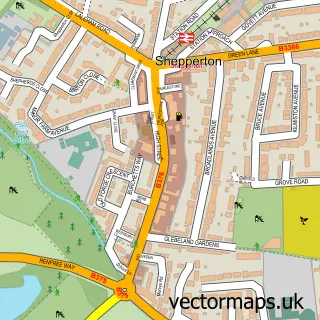
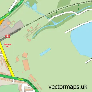
More street maps in Surrey
750 metre map area coverage
Boundary, postcode and point of interest information for the 750m x 750m rectangle centred on this sample map.
Boundaries containing map centre
Constituency: Spelthorne Boro Const
County: Surrey County
District: Spelthorne District (B)
Icb: NHS Surrey and Sussex ICB
Police Force: surrey
Postcode District: TW17
Postcode Sector: TW17 8
Ward: Halliford and Sunbury West Ward
Nearby boundaries intersecting sample
Postcode District: TW16
Postcode Sector: TW16 6
Ward: Shepperton Town Ward
Postcode coverage
POI category counts
Retail: 3
Convenience Store: 2
Garbage Collection Service: 2
Pub: 2
Arts And Crafts: 1
Automotive Repair: 1
British Restaurant: 1
Building Contractor: 1
Building Supply Store: 1
Cleaning Services: 1
Sample points of interest
- The Village Pottery and Craft Centre
- Akar Recovery
- The Orangery Restaurant
- Sunbury Golf Centre
- John Channon Roofing
- Selclean
- Grange Farms
- Londis
- Londis SHEPPERTON SUPERSTORE
- Windsor & Eton Stoves Limited
- Flow Screed Services Surrey
- Livelee Hankin Skips
Create a larger editable map of Upper Halliford
This sample shows only a 750 metre area. To create a larger map of Upper Halliford, use our map builder to choose your own coverage area, add titles and download editable SVG, PDF and PNG files.
Create a custom map of Upper Halliford