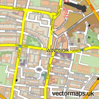
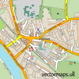
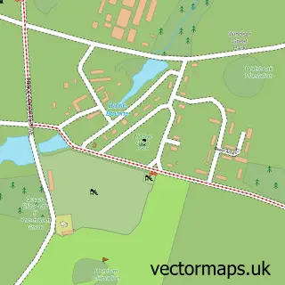
This Old Windsor street map is a detailed vector street map covering a 750m x 750m area. Select a larger area to create and download your own vector street map of Old Windsor.
The 750-metre map sample for Old Windsor covers 542 mapped buildings and approximately 14.5 km of road detail, of which 30 named roads are named. The immediate area includes 1 school, 4 GP surgeries within 2 miles, 2 pubs and 1 MOT station, with 6 within 2 miles. The wider area around Old Windsor features 4 tourism points of interest and 4 food and drink venues. To create a larger or custom map of Old Windsor, the map builder lets you define your own coverage area and download editable SVG, PDF and PNG files.
Create a larger editable map of Old Windsor
Choose any area you need and generate a high-quality vector map instantly. Perfect for print, planning, design, business and personal use.

This Old Windsor street map in Berkshire is available as downloadable SVG, PDF and PNG map files, or as a printed map for planning, business, display, education, local information and design work. You can also create a larger custom map area using the map selector.
What this Old Windsor map sample shows
Old Windsor lies within Old Windsor Cp parish, part of Old Windsor ward in the Windsor And Maidenhead (B) local authority area. The postcode geography for this area includes the SL postcode area, the SL4 postcode district and the SL4 2 postcode sector. Residents fall under the Nhs Frimley Integrated Care Board for NHS services.
Local features near Old Windsor
Within 2 milesAmenities and services in and around Old Windsor.
Administrative and postcode information for Old Windsor
The local authority covering Old Windsor is Windsor And Maidenhead (B), within the county of Berkshire. The settlement lies within Old Windsor ward and Old Windsor Cp civil parish. The SL4 postcode district and SL4 2 postcode sector serve the immediate area. NHS provision in the area is delivered through Frimley Health Nhs Foundation Trust.
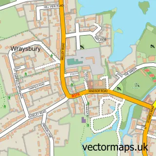
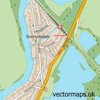
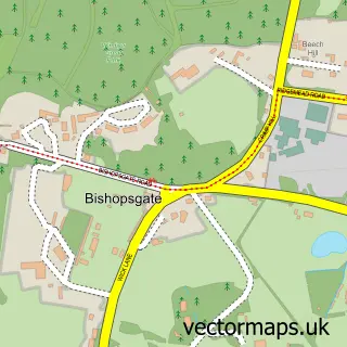
Nearby street map samples around Old Windsor

More street maps in Berkshire
750 metre map area coverage
Boundary, postcode and point of interest information for the 750m x 750m rectangle centred on this sample map.
Boundaries containing map centre
Constituency: Windsor Co Const
District: Windsor and Maidenhead (B)
Icb: NHS Frimley ICB
Parish: Old Windsor CP
Police Force: thames valley
Postcode District: SL4
Postcode Sector: SL4 2
Ward: Old Windsor Ward
Nearby boundaries intersecting sample
No additional intersecting boundaries found.
Postcode coverage
POI category counts
Automotive Repair: 3
Convenience Store: 3
Doctor: 3
Gas Station: 3
Plumbing: 3
Real Estate Agent: 3
Assisted Living Facility: 2
Bakery: 2
Business Management Services: 2
Carpenter: 2
Sample points of interest
- D. G. Owens Accountants
- 3rd Edge Studios
- The Hypnotherapy Centre
- Bissell Homecare
- The Groove Co Live Music
- Choices
- Fearnley House
- BP - Old Windsor SF Connect, Old Windsor
- The Runnymede Hotel & Spa
- Carglass Installations Ltd
- 4U Cars
- A T C Motor Services
Create a larger editable map of Old Windsor
This sample shows only a 750 metre area. To create a larger map of Old Windsor, use our map builder to choose your own coverage area, add titles and download editable SVG, PDF and PNG files.
Create a custom map of Old Windsor