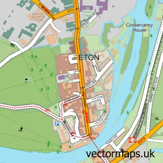
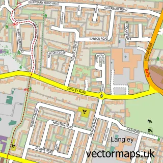
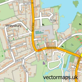
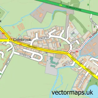
This Datchet street map is a detailed vector street map covering a 750m x 750m area. Select a larger area to create and download your own vector street map of Datchet.
The 750-metre map sample for Datchet covers 349 mapped buildings and approximately 13.6 km of road detail, of which 25 named roads are named. The immediate area includes 1 primary school and 1 secondary school, 1 railway station, 1 GP surgery, with 8 within 2 miles and 1 pub among other local services. The wider area around Datchet features 3 tourism points of interest, 7 food and drink venues and 1 hotel. To create a larger or custom map of Datchet, the map builder lets you define your own coverage area and download editable SVG, PDF and PNG files.
Create a larger editable map of Datchet
Choose any area you need and generate a high-quality vector map instantly. Perfect for print, planning, design, business and personal use.

This Datchet street map in Berkshire is available as downloadable SVG, PDF and PNG map files, or as a printed map for planning, business, display, education, local information and design work. You can also create a larger custom map area using the map selector.
What this Datchet map sample shows
Datchet lies within Datchet Cp parish, part of Datchet, Horton & Wraysbury ward in the Windsor And Maidenhead (B) local authority area. The postcode geography for this area includes the SL postcode area, the SL3 postcode district and the SL3 9 postcode sector. Residents fall under the Nhs Frimley Integrated Care Board for NHS services.
Local features near Datchet
Within 2 milesAmenities and services in and around Datchet.
Administrative and postcode information for Datchet
The local authority covering Datchet is Windsor And Maidenhead (B), within the county of Berkshire. The settlement lies within Datchet, Horton & Wraysbury ward and Datchet Cp civil parish. The SL3 postcode district and SL3 9 postcode sector serve the immediate area. NHS provision in the area is delivered through Frimley Health Nhs Foundation Trust.
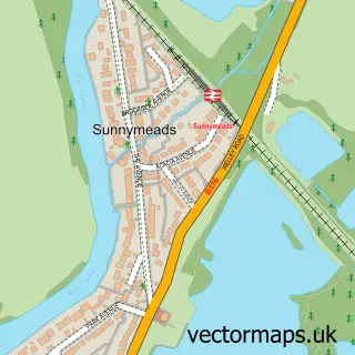
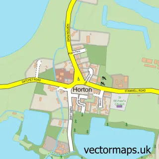
Nearby street map samples around Datchet

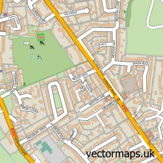
More street maps in Berkshire
750 metre map area coverage
Boundary, postcode and point of interest information for the 750m x 750m rectangle centred on this sample map.
Boundaries containing map centre
Constituency: Windsor Co Const
District: Windsor and Maidenhead (B)
Icb: NHS Frimley ICB
Parish: Datchet CP
Police Force: thames valley
Postcode District: SL3
Postcode Sector: SL3 9
Ward: Datchet, Horton & Wraysbury Ward
Nearby boundaries intersecting sample
Postcode District: SL4
Postcode Sector: SL4 2
Ward: Eton & Castle Ward
Postcode coverage
POI category counts
Real Estate Agent: 7
Convenience Store: 5
Beauty Salon: 3
Bridal Shop: 3
Car Dealer: 3
Financial Service: 3
Park: 3
Preschool: 3
Professional Services: 3
Travel Services: 3
Sample points of interest
- Godfrey Anderson & Co.
- Datchet Golf Academy
- Zone Design & Marketing
- Nadine Sheldon
- St. Mary the Virgin
- The Studio Gallery
- Firstclass Turkish Barbers Datchet
- Beauty By Renata
- Our Little Village Salon
- The L.A Clinic
- Coral
- Kris Cruisers
Create a larger editable map of Datchet
This sample shows only a 750 metre area. To create a larger map of Datchet, use our map builder to choose your own coverage area, add titles and download editable SVG, PDF and PNG files.
Create a custom map of Datchet