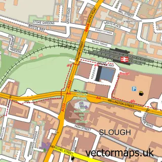
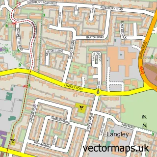
This Chalvey street map is a detailed vector street map covering a 750m x 750m area. Select a larger area to create and download your own vector street map of Chalvey.
The 750-metre map sample for Chalvey covers 448 mapped buildings and approximately 17.1 km of road detail, of which 36 named roads are named. The immediate area includes 4 schools, 13 GP surgeries within 2 miles, 1 pub and 2 MOT stations, with 34 within 2 miles. The wider area around Chalvey features 1 tourism point of interest, 6 food and drink venues and 3 hotels. To create a larger or custom map of Chalvey, the map builder lets you define your own coverage area and download editable SVG, PDF and PNG files.
Create a larger editable map of Chalvey
Choose any area you need and generate a high-quality vector map instantly. Perfect for print, planning, design, business and personal use.

This Chalvey street map in Berkshire is available as downloadable SVG, PDF and PNG map files, or as a printed map for planning, business, display, education, local information and design work. You can also create a larger custom map area using the map selector.
What this Chalvey map sample shows
Chalvey lies within Slough (B) parish, part of Upton ward in the Slough (B) local authority area. The postcode geography for this area includes the SL postcode area, the SL3 postcode district and the SL3 7 postcode sector. Residents fall under the Nhs Frimley Integrated Care Board for NHS services.
Local features near Chalvey
Within 2 milesAmenities and services in and around Chalvey.
Administrative and postcode information for Chalvey
The local authority covering Chalvey is Slough (B), within the county of Berkshire. The settlement lies within Upton ward and Slough (B) civil parish. The SL3 postcode district and SL3 7 postcode sector serve the immediate area. NHS provision in the area is delivered through Frimley Health Nhs Foundation Trust.
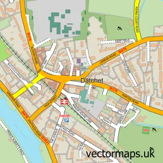
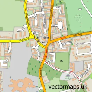
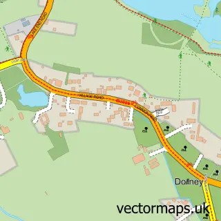
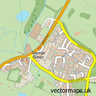
Nearby street map samples around Chalvey

More street maps in Berkshire
750 metre map area coverage
Boundary, postcode and point of interest information for the 750m x 750m rectangle centred on this sample map.
Boundaries containing map centre
Constituency: Slough Boro Const
District: Slough (B)
Icb: NHS Frimley ICB
Police Force: thames valley
Postcode District: SL1
Postcode Sector: SL1 2
Ward: Chalvey Ward
Nearby boundaries intersecting sample
Ward: Herschel Park Ward
Postcode coverage
POI category counts
Gas Station: 8
Automotive Repair: 6
Professional Services: 6
Church Cathedral: 5
Convenience Store: 5
Fast Food Restaurant: 5
Restaurant: 5
Beauty Salon: 4
Contractor: 3
Hotel: 3
Sample points of interest
- Era24 Slough UK
- St Peter's, Chalvey
- Mars Appliances
- Seymour House
- Indian Jyotish Kendra
- Barclays ATM
- Auto Body Repair
- Mem-Saab
- Auto Express Car Repairs
- A2Z MOT Centre
- C&G Autos
- Medina
Create a larger editable map of Chalvey
This sample shows only a 750 metre area. To create a larger map of Chalvey, use our map builder to choose your own coverage area, add titles and download editable SVG, PDF and PNG files.
Create a custom map of Chalvey