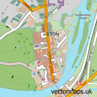
This Dorney street map is a detailed vector street map covering a 750m x 750m area. Select a larger area to create and download your own vector street map of Dorney.
The 750-metre map sample for Dorney covers 106 mapped buildings and approximately 4.4 km of road detail, of which 6 named roads are named. The immediate area includes 1 school, 3 GP surgeries within 2 miles, 2 pubs and 16 MOT stations within 2 miles. The wider area around Dorney features 2 food and drink venues. To create a larger or custom map of Dorney, the map builder lets you define your own coverage area and download editable SVG, PDF and PNG files.
Create a larger editable map of Dorney
Choose any area you need and generate a high-quality vector map instantly. Perfect for print, planning, design, business and personal use.

This Dorney street map in Buckinghamshire is available as downloadable SVG, PDF and PNG map files, or as a printed map for planning, business, display, education, local information and design work. You can also create a larger custom map area using the map selector.
What this Dorney map sample shows
Dorney lies within Dorney Cp parish, part of Burnham Lent Rise & Taplow ward in the Buckinghamshire local authority area. The postcode geography for this area includes the SL postcode area, the SL4 postcode district and the SL4 6 postcode sector. Residents fall under the Nhs Buckinghamshire, Oxfordshire And Berkshire West Integrated Care Board for NHS services.
Local features near Dorney
Within 2 milesAmenities and services in and around Dorney.
Administrative and postcode information for Dorney
The local authority covering Dorney is Buckinghamshire, within the county of Buckinghamshire. The settlement lies within Burnham Lent Rise & Taplow ward and Dorney Cp civil parish. The SL4 postcode district and SL4 6 postcode sector serve the immediate area. NHS provision in the area is delivered through Frimley Health Nhs Foundation Trust.
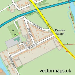
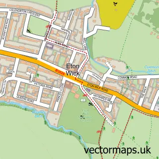
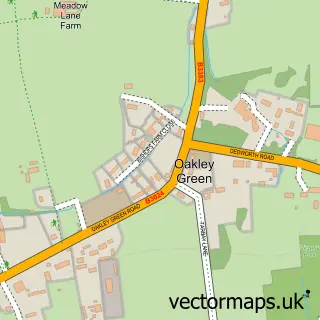
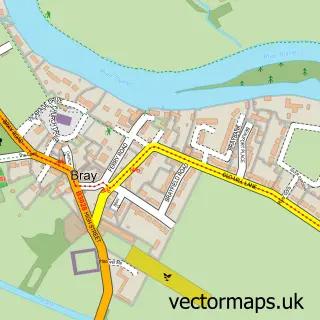
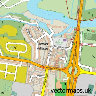
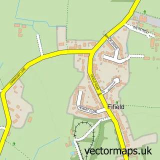
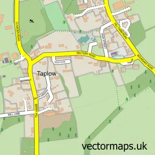
Nearby street map samples around Dorney

More street maps in Buckinghamshire
750 metre map area coverage
Boundary, postcode and point of interest information for the 750m x 750m rectangle centred on this sample map.
Boundaries containing map centre
Constituency: Beaconsfield Co Const
District: Buckinghamshire
Icb: NHS Thames Valley ICB
Parish: Dorney CP
Police Force: thames valley
Postcode District: SL4
Postcode Sector: SL4 6
Ward: Burnham Ward
Nearby boundaries intersecting sample
Constituency: Slough Boro Const
District: Slough (B)
Icb: NHS Frimley ICB
Postcode District: SL1
Postcode Sector: SL1 5
Ward: Cippenham Village Ward
Postcode coverage
POI category counts
Nursery And Gardening: 2
Pub: 2
Art Restoration Service: 1
Automotive Repair: 1
B2b Rubber And Plastics: 1
Building Supply Store: 1
Cottage: 1
Environmental And Ecological Services For Businesses: 1
Fitness Trainer: 1
Hvac Services: 1
Sample points of interest
- The Traditional Restoration Company
- White Heather Garage
- Revive Recycled Plastics
- Maydencroft
- Dorney Cottage
- Maydencroft Ltd. Windsor
- Julie Brealy
- Environmental Heating Solutions
- Flutter Fashion Accessories
- Jane Morgan Dresses
- Spring Palms Therapy
- Crocus at Dorney Court
Create a larger editable map of Dorney
This sample shows only a 750 metre area. To create a larger map of Dorney, use our map builder to choose your own coverage area, add titles and download editable SVG, PDF and PNG files.
Create a custom map of Dorney