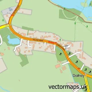
This Dorney Reach street map is a detailed vector street map covering a 750m x 750m area. Select a larger area to create and download your own vector street map of Dorney Reach.
The 750-metre map sample for Dorney Reach covers 174 mapped buildings and approximately 10.8 km of road detail, of which 8 named roads are named. The immediate area includes 1 school, 3 GP surgeries within 2 miles and 12 MOT stations within 2 miles. The wider area around Dorney Reach features 1 tourism point of interest. To create a larger or custom map of Dorney Reach, the map builder lets you define your own coverage area and download editable SVG, PDF and PNG files.
Create a larger editable map of Dorney Reach
Choose any area you need and generate a high-quality vector map instantly. Perfect for print, planning, design, business and personal use.

This Dorney Reach street map in Buckinghamshire is available as downloadable SVG, PDF and PNG map files, or as a printed map for planning, business, display, education, local information and design work. You can also create a larger custom map area using the map selector.
What this Dorney Reach map sample shows
Dorney Reach lies within Bray Cp parish, part of Bray ward in the Windsor And Maidenhead (B) local authority area. The postcode geography for this area includes the SL postcode area, the SL6 postcode district and the SL6 2 postcode sector. Residents fall under the Nhs Frimley Integrated Care Board for NHS services.
Local features near Dorney Reach
Within 2 milesAmenities and services in and around Dorney Reach.
Administrative and postcode information for Dorney Reach
The local authority covering Dorney Reach is Windsor And Maidenhead (B), within the county of Buckinghamshire. The settlement lies within Bray ward and Bray Cp civil parish. The SL6 postcode district and SL6 2 postcode sector serve the immediate area. NHS provision in the area is delivered through Frimley Health Nhs Foundation Trust.
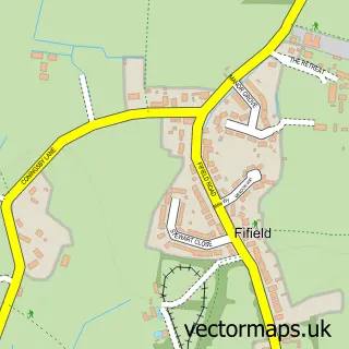
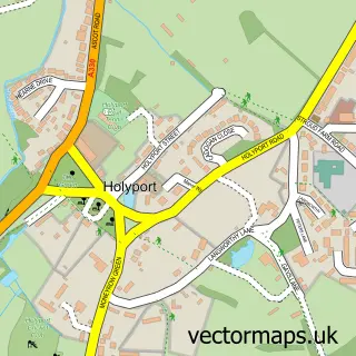
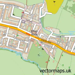
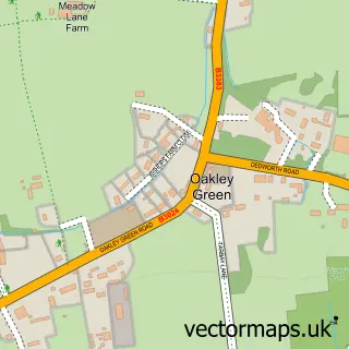
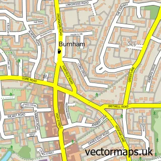
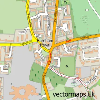
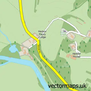
Nearby street map samples around Dorney Reach
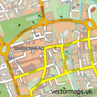

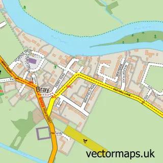
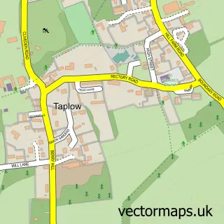
More street maps in Buckinghamshire
750 metre map area coverage
Boundary, postcode and point of interest information for the 750m x 750m rectangle centred on this sample map.
Boundaries containing map centre
Constituency: Beaconsfield Co Const
District: Buckinghamshire
Icb: NHS Thames Valley ICB
Parish: Dorney CP
Police Force: thames valley
Postcode District: SL6
Postcode Sector: SL6 0
Ward: Burnham Ward
Nearby boundaries intersecting sample
Constituency: Maidenhead Co Const
District: Windsor and Maidenhead (B)
Icb: NHS Frimley ICB
Parish: Burnham CP, Taplow CP
Postcode District: SL4
Postcode Sector: SL4 6, SL6 2
Postcode coverage
POI category counts
Elementary School: 2
Building Contractor: 1
Building Supply Store: 1
Campground: 1
Construction Services: 1
Dance School: 1
Driving School: 1
Event Planning: 1
It Service And Computer Repair: 1
Music And Dvd Store: 1
Sample points of interest
- P J Williamson & Son Ltd.
- Harwoods Plumbing and Heating
- Amerden Caravan Park
- DD Groundworks Construction
- Shimmies Bellydance
- Safedrive Driving School Maidenhead
- Dorney School
- Dorney School
- Dorney Village Hall
- Pine Tech
- Peter Tyler Double Basses
- Hills & Saunders
Create a larger editable map of Dorney Reach
This sample shows only a 750 metre area. To create a larger map of Dorney Reach, use our map builder to choose your own coverage area, add titles and download editable SVG, PDF and PNG files.
Create a custom map of Dorney Reach