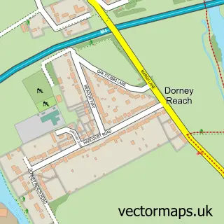
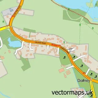
This Bray street map is a detailed vector street map covering a 750m x 750m area. Select a larger area to create and download your own vector street map of Bray.
The 750-metre map sample for Bray covers 174 mapped buildings and approximately 7.4 km of road detail, of which 15 named roads are named. The immediate area includes 6 GP surgeries within 2 miles and 11 MOT stations within 2 miles. The wider area around Bray features 2 tourism points of interest, 2 food and drink venues and 2 hotels. To create a larger or custom map of Bray, the map builder lets you define your own coverage area and download editable SVG, PDF and PNG files.
Create a larger editable map of Bray
Choose any area you need and generate a high-quality vector map instantly. Perfect for print, planning, design, business and personal use.

This Bray street map in Berkshire is available as downloadable SVG, PDF and PNG map files, or as a printed map for planning, business, display, education, local information and design work. You can also create a larger custom map area using the map selector.
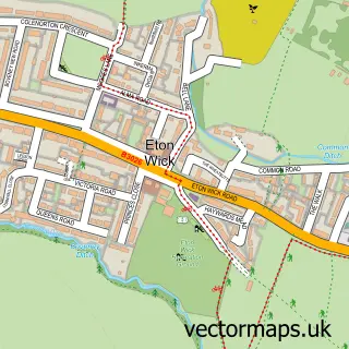
What this Bray map sample shows
Bray lies within Bray Cp parish, part of Bray ward in the Windsor And Maidenhead (B) local authority area. The postcode geography for this area includes the SL postcode area, the SL6 postcode district and the SL6 2 postcode sector. Residents fall under the Nhs Frimley Integrated Care Board for NHS services.
Local features near Bray
Within 2 milesAmenities and services in and around Bray.
Administrative and postcode information for Bray
The local authority covering Bray is Windsor And Maidenhead (B), within the county of Berkshire. The settlement lies within Bray ward and Bray Cp civil parish. The SL6 postcode district and SL6 2 postcode sector serve the immediate area. NHS provision in the area is delivered through Frimley Health Nhs Foundation Trust.
Nearby street map samples around Bray
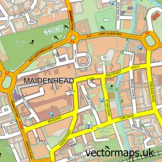

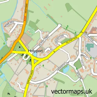
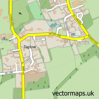
More street maps in Berkshire
750 metre map area coverage
Boundary, postcode and point of interest information for the 750m x 750m rectangle centred on this sample map.
Boundaries containing map centre
Constituency: Maidenhead Co Const
District: Windsor and Maidenhead (B)
Icb: NHS Frimley ICB
Parish: Bray CP
Police Force: thames valley
Postcode District: SL6
Postcode Sector: SL6 2
Ward: Bray Ward
Nearby boundaries intersecting sample
Constituency: Beaconsfield Co Const
District: Buckinghamshire
Icb: NHS Thames Valley ICB
Parish: Taplow CP
Postcode Sector: SL6 0, SL6 1
Ward: Burnham Ward, Oldfield Ward
Postcode coverage
POI category counts
Business Consulting: 2
Flowers And Gifts Shop: 2
Gastropub: 2
Graphic Designer: 2
Hotel: 2
Restaurant: 2
Sports Club And League: 2
Advertising Agency: 1
Anglican Church: 1
Assisted Living Facility: 1
Sample points of interest
- Mustard PR
- St Michael's Church
- Anchor Hanover - Hanover Mead
- Tik Tok Cars LTD
- Bray Bank
- Bray Hair Studio
- Goodrays
- Campus Novus
- Oakville Management
- St Michael's Church
- Bray Village Hall
- Tiggers Cottage
Create a larger editable map of Bray
This sample shows only a 750 metre area. To create a larger map of Bray, use our map builder to choose your own coverage area, add titles and download editable SVG, PDF and PNG files.
Create a custom map of Bray