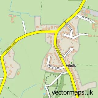
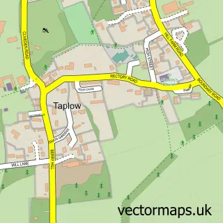
This Holyport street map is a detailed vector street map covering a 750m x 750m area. Select a larger area to create and download your own vector street map of Holyport.
The 750-metre map sample for Holyport covers 233 mapped buildings and approximately 12.2 km of road detail, of which 14 named roads are named. The immediate area includes 1 school, 1 GP surgery within 2 miles, 1 pub and 5 MOT stations within 2 miles. The wider area around Holyport features 2 tourism points of interest, 2 food and drink venues and 1 hotel. To create a larger or custom map of Holyport, the map builder lets you define your own coverage area and download editable SVG, PDF and PNG files.
Create a larger editable map of Holyport
Choose any area you need and generate a high-quality vector map instantly. Perfect for print, planning, design, business and personal use.

This Holyport street map in Berkshire is available as downloadable SVG, PDF and PNG map files, or as a printed map for planning, business, display, education, local information and design work. You can also create a larger custom map area using the map selector.
What this Holyport map sample shows
Holyport lies within Bray Cp parish, part of Bray ward in the Windsor And Maidenhead (B) local authority area. The postcode geography for this area includes the SL postcode area, the SL6 postcode district and the SL6 2 postcode sector. Residents fall under the Nhs Frimley Integrated Care Board for NHS services.
Local features near Holyport
Within 2 milesAmenities and services in and around Holyport.
Administrative and postcode information for Holyport
Holyport lies within Bray Cp parish, part of Bray ward in the Windsor And Maidenhead (B) local authority area. The postcode geography for this area includes the SL postcode area, the SL6 postcode district and the SL6 2 postcode sector. Residents fall under the Nhs Frimley Integrated Care Board for NHS services.
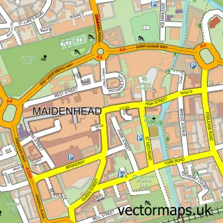
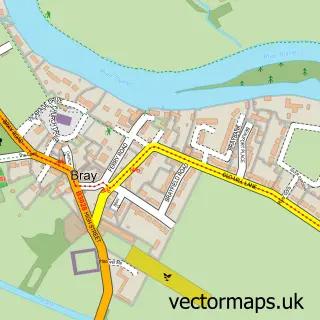
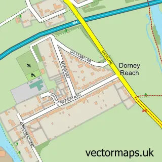
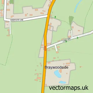
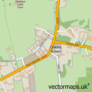
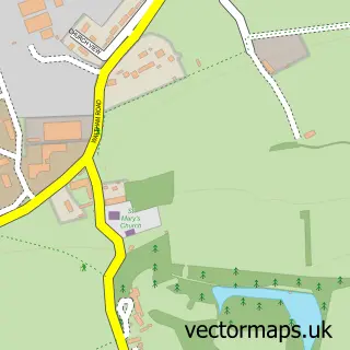
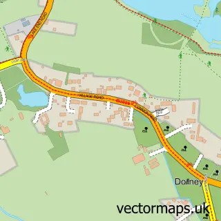
Nearby street map samples around Holyport

More street maps in Berkshire
750 metre map area coverage
Boundary, postcode and point of interest information for the 750m x 750m rectangle centred on this sample map.
Boundaries containing map centre
Constituency: Maidenhead Co Const
District: Windsor and Maidenhead (B)
Icb: NHS Frimley ICB
Parish: Bray CP
Police Force: thames valley
Postcode District: SL6
Postcode Sector: SL6 2
Ward: Bray Ward
Nearby boundaries intersecting sample
No additional intersecting boundaries found.
Postcode coverage
POI category counts
Building Supply Store: 5
Convenience Store: 2
Doctor: 2
Education: 2
Post Office: 2
Professional Services: 2
Alternative Medicine: 1
Attractions And Activities: 1
Automotive Repair: 1
Beauty Salon: 1
Sample points of interest
- Valerie Odonnell
- Holyport Green
- TPR Body Repair & Mechanics
- Trimmings Hair Extensions
- Castle Electrodes Ltd.
- Concept Flooring
- Impeccable Properties Ltd
- Tony's Pointing
- Windport Builders
- Commercial Effectiveness Consultancy
- J and S Rook Butchers
- The Cuppa Holyport
Create a larger editable map of Holyport
This sample shows only a 750 metre area. To create a larger map of Holyport, use our map builder to choose your own coverage area, add titles and download editable SVG, PDF and PNG files.
Create a custom map of Holyport