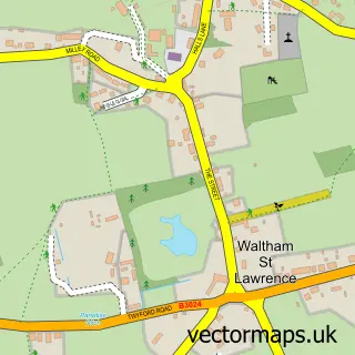
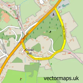
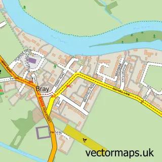
This White Waltham street map is a detailed vector street map covering a 750m x 750m area. Select a larger area to create and download your own vector street map of White Waltham.
The 750-metre map sample for White Waltham covers 65 mapped buildings and approximately 6.1 km of road detail, of which 2 named roads are named. The immediate area includes 2 GP surgeries within 2 miles and 4 MOT stations within 2 miles. To create a larger or custom map of White Waltham, the map builder lets you define your own coverage area and download editable SVG, PDF and PNG files.
Create a larger editable map of White Waltham
Choose any area you need and generate a high-quality vector map instantly. Perfect for print, planning, design, business and personal use.

This White Waltham street map in Berkshire is available as downloadable SVG, PDF and PNG map files, or as a printed map for planning, business, display, education, local information and design work. You can also create a larger custom map area using the map selector.
What this White Waltham map sample shows
White Waltham lies within White Waltham Cp parish, part of Hurley & Walthams ward in the Windsor And Maidenhead (B) local authority area. The postcode geography for this area includes the SL postcode area, the SL6 postcode district and the SL6 3 postcode sector. Residents fall under the Nhs Frimley Integrated Care Board for NHS services.
Local features near White Waltham
Within 2 milesAmenities and services in and around White Waltham.
Administrative and postcode information for White Waltham
White Waltham lies within White Waltham Cp parish, part of Hurley & Walthams ward in the Windsor And Maidenhead (B) local authority area. The postcode geography for this area includes the SL postcode area, the SL6 postcode district and the SL6 3 postcode sector. Residents fall under the Nhs Frimley Integrated Care Board for NHS services.
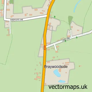
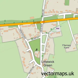
Nearby street map samples around White Waltham
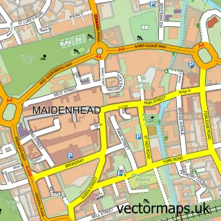

More street maps in Berkshire
750 metre map area coverage
Boundary, postcode and point of interest information for the 750m x 750m rectangle centred on this sample map.
Boundaries containing map centre
Constituency: Maidenhead Co Const
District: Windsor and Maidenhead (B)
Icb: NHS Frimley ICB
Parish: White Waltham CP
Police Force: thames valley
Postcode District: SL6
Postcode Sector: SL6 3
Ward: Hurley & Walthams Ward
Nearby boundaries intersecting sample
No additional intersecting boundaries found.
Postcode coverage
POI category counts
Business Management Services: 2
Corporate Office: 2
Engineering Services: 2
Amateur Sports Team: 1
Baptist Church: 1
Building Supply Store: 1
Carpenter: 1
Church Cathedral: 1
Computer Store: 1
Fair: 1
Sample points of interest
- Monkey Muay Thai
- White Waltham Church
- G & T Electrical & Property Services
- M C S
- Rental Software by MCS Global Ltd.
- A R Price
- St Mary's Church
- Informatica Software Ltd.
- Britannia 2000 Ltd.
- SGP
- Hewland Engineering Ltd
- Hewland Engineering Ltd.
Create a larger editable map of White Waltham
This sample shows only a 750 metre area. To create a larger map of White Waltham, use our map builder to choose your own coverage area, add titles and download editable SVG, PDF and PNG files.
Create a custom map of White Waltham