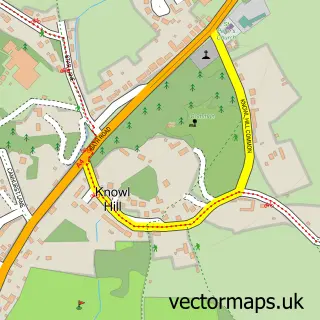
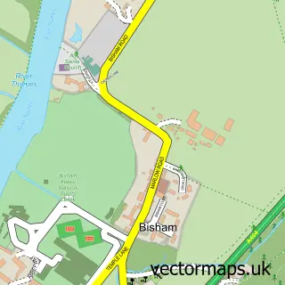
This Littlewick Green street map is a detailed vector street map covering a 750m x 750m area. Select a larger area to create and download your own vector street map of Littlewick Green.
The 750-metre map sample for Littlewick Green covers 155 mapped buildings and approximately 7.6 km of road detail, of which 8 named roads are named. The immediate area includes 2 GP surgeries within 2 miles, 1 pub and 5 MOT stations within 2 miles. The wider area around Littlewick Green features 1 food and drink venue and 1 hotel. To create a larger or custom map of Littlewick Green, the map builder lets you define your own coverage area and download editable SVG, PDF and PNG files.
Create a larger editable map of Littlewick Green
Choose any area you need and generate a high-quality vector map instantly. Perfect for print, planning, design, business and personal use.

This Littlewick Green street map in Berkshire is available as downloadable SVG, PDF and PNG map files, or as a printed map for planning, business, display, education, local information and design work. You can also create a larger custom map area using the map selector.
What this Littlewick Green map sample shows
Littlewick Green lies within Hurley Cp parish, part of Hurley & Walthams ward in the Windsor And Maidenhead (B) local authority area. The postcode geography for this area includes the SL postcode area, the SL6 postcode district and the SL6 3 postcode sector. Residents fall under the Nhs Frimley Integrated Care Board for NHS services.
Local features near Littlewick Green
Within 2 milesAmenities and services in and around Littlewick Green.
Administrative and postcode information for Littlewick Green
The local authority covering Littlewick Green is Windsor And Maidenhead (B), within the county of Berkshire. The settlement lies within Hurley & Walthams ward and Hurley Cp civil parish. The SL6 postcode district and SL6 3 postcode sector serve the immediate area. NHS provision in the area is delivered through Frimley Health Nhs Foundation Trust.
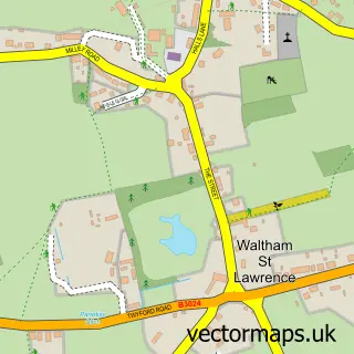
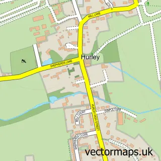
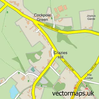
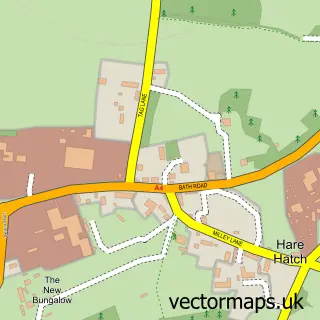
Nearby street map samples around Littlewick Green
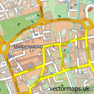

More street maps in Berkshire
750 metre map area coverage
Boundary, postcode and point of interest information for the 750m x 750m rectangle centred on this sample map.
Boundaries containing map centre
Constituency: Maidenhead Co Const
District: Windsor and Maidenhead (B)
Icb: NHS Frimley ICB
Parish: White Waltham CP
Police Force: thames valley
Postcode District: SL6
Postcode Sector: SL6 3
Ward: Hurley & Walthams Ward
Nearby boundaries intersecting sample
Parish: Hurley CP
Postcode Sector: SL6 6
Postcode coverage
POI category counts
Automotive Repair: 2
Preschool: 2
Anglican Church: 1
Business: 1
Carpet Cleaning: 1
Church Cathedral: 1
Convenience Store: 1
Cricket Ground: 1
Drama School: 1
Hotel: 1
Sample points of interest
- Littlewick Green: St John the Evangelist
- Maidenhead Mitsubishi
- Mazda
- Littlewick Green
- Servicemaster Ltd.
- Littlewick Green
- Costcutter
- Littlewick Green Cricket Club
- Stagecoach Maidenhead
- Riders Country House Hotel
- Asian Fusion
- Clare Norrish Interior Design
Create a larger editable map of Littlewick Green
This sample shows only a 750 metre area. To create a larger map of Littlewick Green, use our map builder to choose your own coverage area, add titles and download editable SVG, PDF and PNG files.
Create a custom map of Littlewick Green