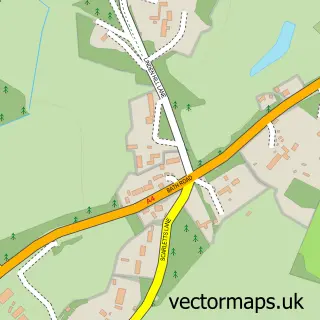
This Hurley street map is a detailed vector street map covering a 750m x 750m area. Select a larger area to create and download your own vector street map of Hurley.
The 750-metre map sample for Hurley covers 171 mapped buildings and approximately 10.3 km of road detail, of which 8 named roads are named. The immediate area includes 1 pub and 1 MOT station within 2 miles. The wider area around Hurley features 2 food and drink venues, 2 hotels and 1 campsite within 2 miles. To create a larger or custom map of Hurley, the map builder lets you define your own coverage area and download editable SVG, PDF and PNG files.
Create a larger editable map of Hurley
Choose any area you need and generate a high-quality vector map instantly. Perfect for print, planning, design, business and personal use.

This Hurley street map in Berkshire is available as downloadable SVG, PDF and PNG map files, or as a printed map for planning, business, display, education, local information and design work. You can also create a larger custom map area using the map selector.
What this Hurley map sample shows
Hurley lies within Hurley Cp parish, part of Hurley & Walthams ward in the Windsor And Maidenhead (B) local authority area. The postcode geography for this area includes the SL postcode area, the SL6 postcode district and the SL6 5 postcode sector. Residents fall under the Nhs Frimley Integrated Care Board for NHS services.
Local features near Hurley
Within 2 milesAmenities and services in and around Hurley.
Administrative and postcode information for Hurley
Hurley lies within Hurley Cp parish, part of Hurley & Walthams ward in the Windsor And Maidenhead (B) local authority area. The postcode geography for this area includes the SL postcode area, the SL6 postcode district and the SL6 5 postcode sector. Residents fall under the Nhs Frimley Integrated Care Board for NHS services.
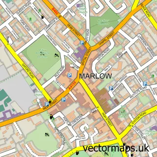
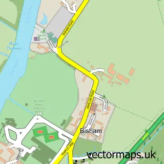
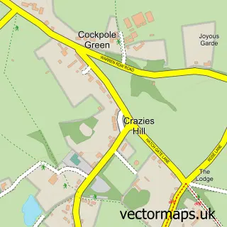
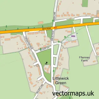
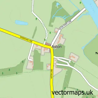
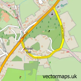
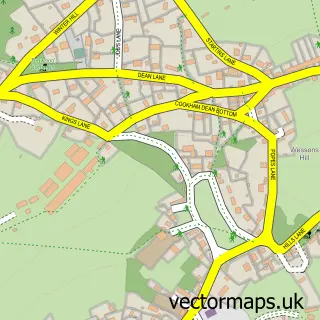
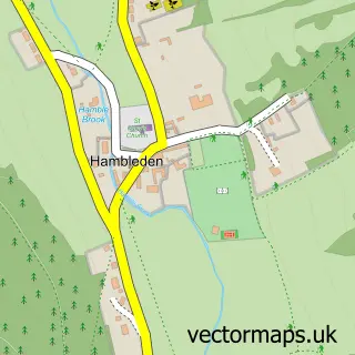
Nearby street map samples around Hurley

More street maps in Berkshire
750 metre map area coverage
Boundary, postcode and point of interest information for the 750m x 750m rectangle centred on this sample map.
Boundaries containing map centre
Constituency: Maidenhead Co Const
District: Windsor and Maidenhead (B)
Icb: NHS Frimley ICB
Parish: Hurley CP
Police Force: thames valley
Postcode District: SL6
Postcode Sector: SL6 5
Ward: Hurley & Walthams Ward
Nearby boundaries intersecting sample
No additional intersecting boundaries found.
Postcode coverage
POI category counts
Cricket Ground: 2
Hotel: 2
Bed And Breakfast: 1
College University: 1
Contractor: 1
Convenience Store: 1
Dance School: 1
Education: 1
Ev Charging Station: 1
Event Planning: 1
Sample points of interest
- Crazy Fox Hurley Boutique Bed and Breakfast
- Ascot College of Electrical Studies
- Can We Dig it Landscapes
- Hurley Village Shop
- Hurley Cricket Club
- Hurley Cricket Club
- Living Lines Dance Centre
- Floatdene Training
- Hurleyford Farm Limited
- Monks' Barn
- New Start Financial Services
- Hurley Bed And Breakfast
Create a larger editable map of Hurley
This sample shows only a 750 metre area. To create a larger map of Hurley, use our map builder to choose your own coverage area, add titles and download editable SVG, PDF and PNG files.
Create a custom map of Hurley