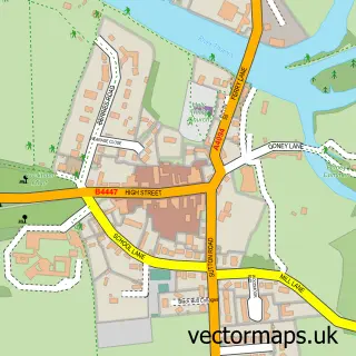
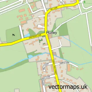
This Cookham Dean street map is a detailed vector street map covering a 750m x 750m area. Select a larger area to create and download your own vector street map of Cookham Dean.
The 750-metre map sample for Cookham Dean covers 247 mapped buildings and approximately 9.8 km of road detail, of which 10 named roads are named. The immediate area includes 1 school, 2 GP surgeries within 2 miles, 1 pub and 11 MOT stations within 2 miles. The wider area around Cookham Dean features 3 tourism points of interest and 3 food and drink venues. To create a larger or custom map of Cookham Dean, the map builder lets you define your own coverage area and download editable SVG, PDF and PNG files.
Create a larger editable map of Cookham Dean
Choose any area you need and generate a high-quality vector map instantly. Perfect for print, planning, design, business and personal use.

This Cookham Dean street map in Berkshire is available as downloadable SVG, PDF and PNG map files, or as a printed map for planning, business, display, education, local information and design work. You can also create a larger custom map area using the map selector.
What this Cookham Dean map sample shows
Cookham Dean lies within Bisham Cp parish, part of Bisham & Cookham ward in the Windsor And Maidenhead (B) local authority area. The postcode geography for this area includes the SL postcode area, the SL6 postcode district and the SL6 9 postcode sector. Residents fall under the Nhs Frimley Integrated Care Board for NHS services.
Local features near Cookham Dean
Within 2 milesAmenities and services in and around Cookham Dean.
Administrative and postcode information for Cookham Dean
The local authority covering Cookham Dean is Windsor And Maidenhead (B), within the county of Berkshire. The settlement lies within Bisham & Cookham ward and Bisham Cp civil parish. The SL6 postcode district and SL6 9 postcode sector serve the immediate area. NHS provision in the area is delivered through Frimley Health Nhs Foundation Trust.
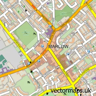
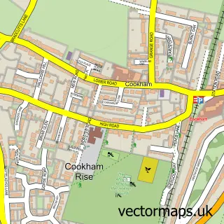
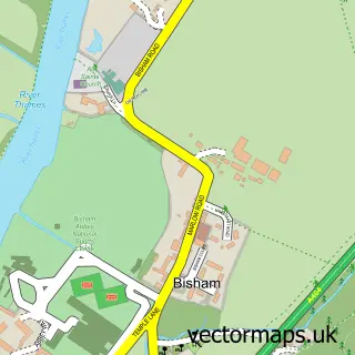
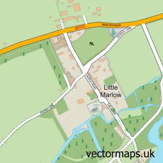
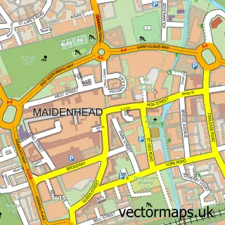
Nearby street map samples around Cookham Dean

More street maps in Berkshire
750 metre map area coverage
Boundary, postcode and point of interest information for the 750m x 750m rectangle centred on this sample map.
Boundaries containing map centre
Constituency: Maidenhead Co Const
District: Windsor and Maidenhead (B)
Icb: NHS Frimley ICB
Parish: Cookham CP
Police Force: thames valley
Postcode District: SL6
Postcode Sector: SL6 9
Ward: Bisham & Cookham Ward
Nearby boundaries intersecting sample
Parish: Bisham CP
Postcode coverage
POI category counts
Building Supply Store: 3
Elementary School: 3
Farm: 2
Landmark And Historical Building: 2
Professional Services: 2
Restaurant: 2
Automotive Repair: 1
Automotive Services And Repair: 1
Building Contractor: 1
Business Management Services: 1
Sample points of interest
- PT Sports Cars
- Pentana Solutions
- Brainstorm Communications Ltd.
- Air Intelligence
- Air Intelligence Ltd.
- Water Trade Limited
- Fintech Associates Ltd.
- Abbey Car Hire
- Cookham Dean Nurseries
- Herries Nursery and Preparatory School
- Herries Preparatory School
- Herries School
Create a larger editable map of Cookham Dean
This sample shows only a 750 metre area. To create a larger map of Cookham Dean, use our map builder to choose your own coverage area, add titles and download editable SVG, PDF and PNG files.
Create a custom map of Cookham Dean