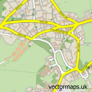
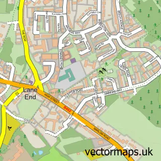
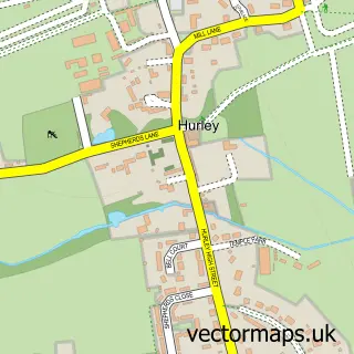
This Marlow Bottom street map is a detailed vector street map covering a 750m x 750m area. Select a larger area to create and download your own vector street map of Marlow Bottom.
The 750-metre map sample for Marlow Bottom covers 239 mapped buildings and approximately 6.7 km of road detail, of which 13 named roads are named. The immediate area includes 1 school, 2 GP surgeries within 2 miles and 2 MOT stations within 2 miles. The wider area around Marlow Bottom features 1 hotel. To create a larger or custom map of Marlow Bottom, the map builder lets you define your own coverage area and download editable SVG, PDF and PNG files.
Create a larger editable map of Marlow Bottom
Choose any area you need and generate a high-quality vector map instantly. Perfect for print, planning, design, business and personal use.

This Marlow Bottom street map in Buckinghamshire is available as downloadable SVG, PDF and PNG map files, or as a printed map for planning, business, display, education, local information and design work. You can also create a larger custom map area using the map selector.
What this Marlow Bottom map sample shows
Marlow Bottom lies within Great Marlow Cp parish, part of Greater Marlow ward in the Buckinghamshire local authority area. The postcode geography for this area includes the SL postcode area, the SL7 postcode district and the SL7 3 postcode sector. Residents fall under the Nhs Buckinghamshire, Oxfordshire And Berkshire West Integrated Care Board for NHS services.
Local features near Marlow Bottom
Within 2 milesAmenities and services in and around Marlow Bottom.
Administrative and postcode information for Marlow Bottom
The local authority covering Marlow Bottom is Buckinghamshire, within the county of Buckinghamshire. The settlement lies within Greater Marlow ward and Great Marlow Cp civil parish. The SL7 postcode district and SL7 3 postcode sector serve the immediate area. NHS provision in the area is delivered through Buckinghamshire Healthcare Nhs Trust.
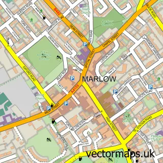
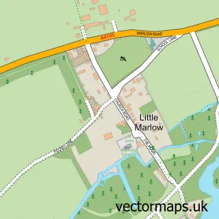
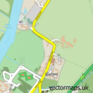
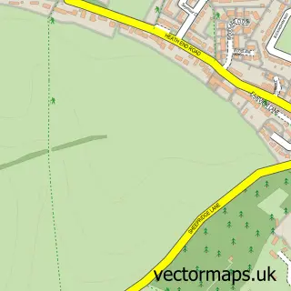
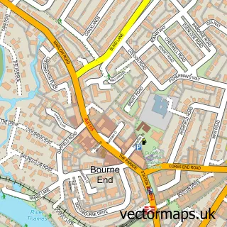
Nearby street map samples around Marlow Bottom

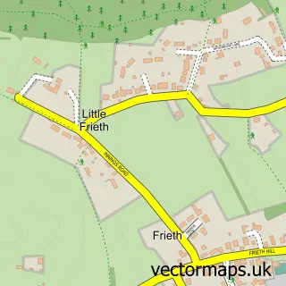
More street maps in Buckinghamshire
750 metre map area coverage
Boundary, postcode and point of interest information for the 750m x 750m rectangle centred on this sample map.
Boundaries containing map centre
Constituency: Wycombe Co Const
District: Buckinghamshire
Icb: NHS Thames Valley ICB
Parish: Marlow Bottom CP
Police Force: thames valley
Postcode District: SL7
Postcode Sector: SL7 3
Ward: Marlow Ward
Nearby boundaries intersecting sample
Parish: Great Marlow CP
Ward: Chiltern Villages Ward
Postcode coverage
POI category counts
Photographer: 3
Professional Services: 2
Anglican Church: 1
Building Supply Store: 1
Car Dealer: 1
Employment Agencies: 1
Garbage Collection Service: 1
Home Cleaning: 1
Hotel: 1
Industrial Company: 1
Sample points of interest
- The Lantern Community Church (St Mary's Marlow Bottom)
- Roger Tree Garden & Fencing Service
- APT Car Hire
- Alummni Limited
- Hazsafe Hazardous Waste Disposal
- Ryemead Commercial Group Ltd
- IHC Venues
- My Wooden House
- Raymond Marks Professional Photographer
- Raymondo Marcus
- Tribune Partnership
- Jonathan Harding
Create a larger editable map of Marlow Bottom
This sample shows only a 750 metre area. To create a larger map of Marlow Bottom, use our map builder to choose your own coverage area, add titles and download editable SVG, PDF and PNG files.
Create a custom map of Marlow Bottom