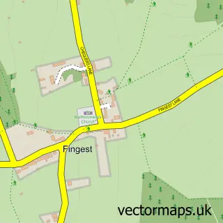
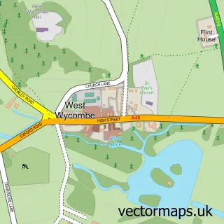
This Lane End street map is a detailed vector street map covering a 750m x 750m area. Select a larger area to create and download your own vector street map of Lane End.
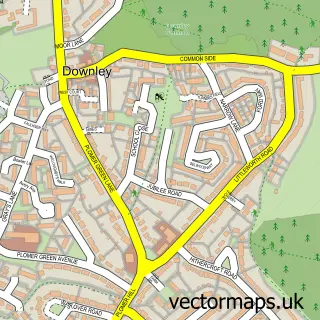
The 750-metre map sample for Lane End covers 292 mapped buildings and approximately 12.9 km of road detail, of which 36 named roads are named. The immediate area includes 1 school, 1 pub and 1 MOT station, with 3 within 2 miles. The wider area around Lane End features 1 tourism point of interest and 2 food and drink venues. To create a larger or custom map of Lane End, the map builder lets you define your own coverage area and download editable SVG, PDF and PNG files.
Create a larger editable map of Lane End
Choose any area you need and generate a high-quality vector map instantly. Perfect for print, planning, design, business and personal use.

This Lane End street map in Buckinghamshire is available as downloadable SVG, PDF and PNG map files, or as a printed map for planning, business, display, education, local information and design work. You can also create a larger custom map area using the map selector.
What this Lane End map sample shows
Lane End lies within Lane End Cp parish, part of Chiltern Rise ward in the Buckinghamshire local authority area. The postcode geography for this area includes the HP postcode area, the HP14 postcode district and the HP14 3 postcode sector. Residents fall under the Nhs Buckinghamshire, Oxfordshire And Berkshire West Integrated Care Board for NHS services.
Local features near Lane End
Within 2 milesAmenities and services in and around Lane End.
Administrative and postcode information for Lane End
The local authority covering Lane End is Buckinghamshire, within the county of Buckinghamshire. The settlement lies within Chiltern Rise ward and Lane End Cp civil parish. The HP14 postcode district and HP14 3 postcode sector serve the immediate area. NHS provision in the area is delivered through Buckinghamshire Healthcare Nhs Trust.
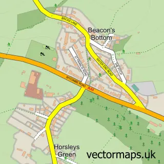
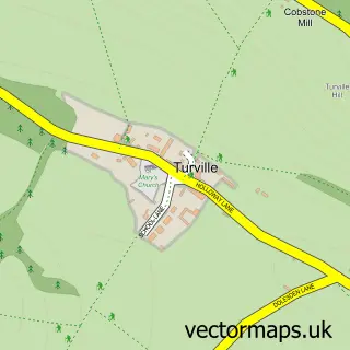
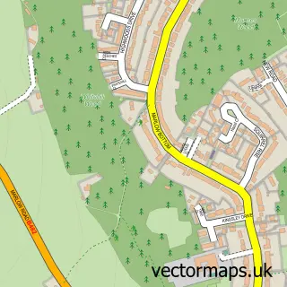
Nearby street map samples around Lane End

More street maps in Buckinghamshire
750 metre map area coverage
Boundary, postcode and point of interest information for the 750m x 750m rectangle centred on this sample map.
Boundaries containing map centre
Constituency: Wycombe Co Const
District: Buckinghamshire
Icb: NHS Thames Valley ICB
Parish: Lane End CP
Police Force: thames valley
Postcode District: HP14
Postcode Sector: HP14 3
Ward: West Wycombe & Lane End Ward
Nearby boundaries intersecting sample
No additional intersecting boundaries found.
Postcode coverage
POI category counts
Beauty Salon: 4
Convenience Store: 4
Professional Services: 4
Doctor: 3
Assisted Living Facility: 2
Bakery: 2
Bar: 2
Church Cathedral: 2
Electrician: 2
Forestry Service: 2
Sample points of interest
- Lane End
- Gracewell of High Wycombe
- Ridley Manor Care Home - Care UK
- Hall R S
- North's Garage
- Goodchilds Garage
- Cornish Bakehouse UK
- Paramount Chocolate Co
- Lane End Tandoori
- The Old Sun
- Marlow Beauty
- No. 21 Beauty Within
Create a larger editable map of Lane End
This sample shows only a 750 metre area. To create a larger map of Lane End, use our map builder to choose your own coverage area, add titles and download editable SVG, PDF and PNG files.
Create a custom map of Lane End