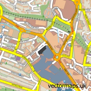
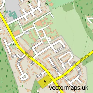
This Downley street map is a detailed vector street map covering a 750m x 750m area. Select a larger area to create and download your own vector street map of Downley.
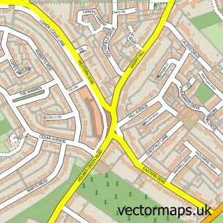
The 750-metre map sample for Downley covers 391 mapped buildings and approximately 17.0 km of road detail, of which 33 named roads are named. The immediate area includes 8 GP surgeries within 2 miles, 1 pub and 1 MOT station, with 23 within 2 miles. The wider area around Downley features 2 tourism points of interest and 3 food and drink venues. To create a larger or custom map of Downley, the map builder lets you define your own coverage area and download editable SVG, PDF and PNG files.
Create a larger editable map of Downley
Choose any area you need and generate a high-quality vector map instantly. Perfect for print, planning, design, business and personal use.

This Downley street map in Buckinghamshire is available as downloadable SVG, PDF and PNG map files, or as a printed map for planning, business, display, education, local information and design work. You can also create a larger custom map area using the map selector.
What this Downley map sample shows
Downley lies within Downley Cp parish, part of Downley And Plomer Hill ward in the Buckinghamshire local authority area. The postcode geography for this area includes the HP postcode area, the HP13 postcode district and the HP13 5 postcode sector. Residents fall under the Nhs Buckinghamshire, Oxfordshire And Berkshire West Integrated Care Board for NHS services.
Local features near Downley
Within 2 milesAmenities and services in and around Downley.
Administrative and postcode information for Downley
Downley lies within Downley Cp parish, part of Downley And Plomer Hill ward in the Buckinghamshire local authority area. The postcode geography for this area includes the HP postcode area, the HP13 postcode district and the HP13 5 postcode sector. Residents fall under the Nhs Buckinghamshire, Oxfordshire And Berkshire West Integrated Care Board for NHS services.
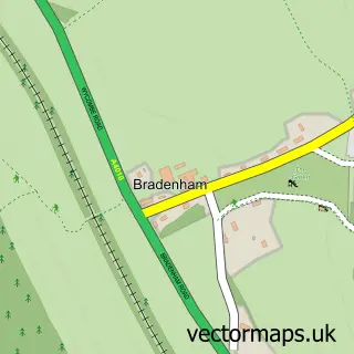
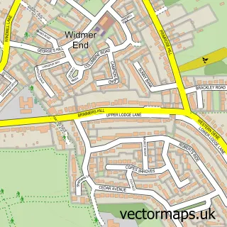
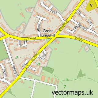
Nearby street map samples around Downley

More street maps in Buckinghamshire
750 metre map area coverage
Boundary, postcode and point of interest information for the 750m x 750m rectangle centred on this sample map.
Boundaries containing map centre
Constituency: Wycombe Co Const
District: Buckinghamshire
Icb: NHS Thames Valley ICB
Parish: Downley CP
Police Force: thames valley
Postcode District: HP13
Postcode Sector: HP13 5
Ward: Downley Ward
Nearby boundaries intersecting sample
Ward: Disraeli Ward
Postcode coverage
POI category counts
Hair Salon: 4
Beauty Salon: 3
Convenience Store: 3
Advertising Agency: 2
Automotive Parts And Accessories: 2
Automotive Repair: 2
Bakery: 2
Church Cathedral: 2
Community Center: 2
Contractor: 2
Sample points of interest
- Downley, High Wycombe
- Csa Direct
- Downley Technical Services
- yasey Carwash
- Mark Braisher Mortgages
- Dingocroft
- Penn Rental Service
- Dingocroft - Land Rover Parts Specialists
- Hillclimb Garage - Downley, High Wycombe, Bucks, UK
- Giant Pizza
- Plum Creations by Rayne
- The Bricklayers Arms
Create a larger editable map of Downley
This sample shows only a 750 metre area. To create a larger map of Downley, use our map builder to choose your own coverage area, add titles and download editable SVG, PDF and PNG files.
Create a custom map of Downley