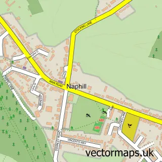
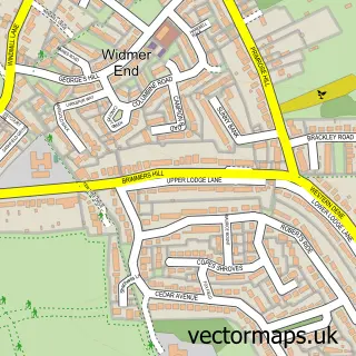
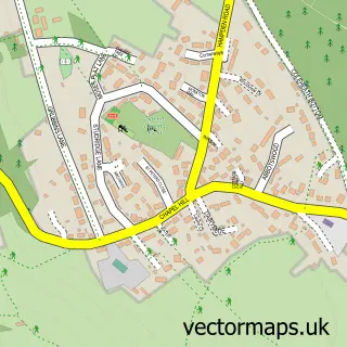
This Hughenden Valley street map is a detailed vector street map covering a 750m x 750m area. Select a larger area to create and download your own vector street map of Hughenden Valley.
The 750-metre map sample for Hughenden Valley covers 254 mapped buildings and approximately 11.0 km of road detail, of which 11 named roads are named. The immediate area includes 1 GP surgery, with 2 within 2 miles and 6 MOT stations within 2 miles. The wider area around Hughenden Valley features 2 food and drink venues. To create a larger or custom map of Hughenden Valley, the map builder lets you define your own coverage area and download editable SVG, PDF and PNG files.
Create a larger editable map of Hughenden Valley
Choose any area you need and generate a high-quality vector map instantly. Perfect for print, planning, design, business and personal use.

This Hughenden Valley street map in Buckinghamshire is available as downloadable SVG, PDF and PNG map files, or as a printed map for planning, business, display, education, local information and design work. You can also create a larger custom map area using the map selector.
What this Hughenden Valley map sample shows
Hughenden Valley lies within Hughenden Cp parish, part of Greater Hughenden ward in the Buckinghamshire local authority area. The postcode geography for this area includes the HP postcode area, the HP14 postcode district and the HP14 4 postcode sector. Residents fall under the Nhs Buckinghamshire, Oxfordshire And Berkshire West Integrated Care Board for NHS services.
Local features near Hughenden Valley
Within 2 milesAmenities and services in and around Hughenden Valley.
Administrative and postcode information for Hughenden Valley
The local authority covering Hughenden Valley is Buckinghamshire, within the county of Buckinghamshire. The settlement lies within Greater Hughenden ward and Hughenden Cp civil parish. The HP14 postcode district and HP14 4 postcode sector serve the immediate area. NHS provision in the area is delivered through Buckinghamshire Healthcare Nhs Trust.
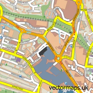
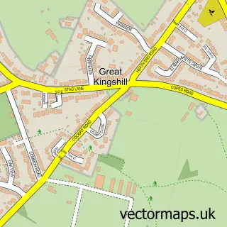
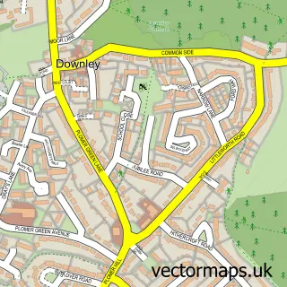
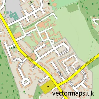
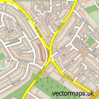
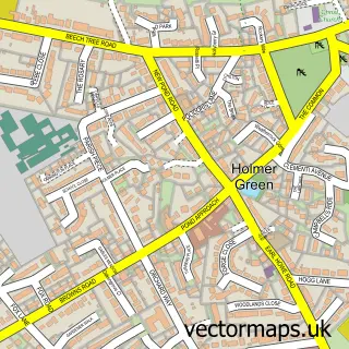
Nearby street map samples around Hughenden Valley

More street maps in Buckinghamshire
750 metre map area coverage
Boundary, postcode and point of interest information for the 750m x 750m rectangle centred on this sample map.
Boundaries containing map centre
Constituency: Mid Buckinghamshire Co Const
District: Buckinghamshire
Icb: NHS Thames Valley ICB
Parish: Hughenden CP
Police Force: thames valley
Postcode District: HP14
Postcode Sector: HP14 4
Ward: Ridgeway East Ward
Nearby boundaries intersecting sample
Postcode District: HP15
Postcode Sector: HP15 6
Postcode coverage
POI category counts
Building Supply Store: 3
Coffee Shop: 2
Professional Services: 2
Property Management: 2
Art Museum: 1
Automotive Repair: 1
Beauty Salon: 1
Business Consulting: 1
Car Wash: 1
Community Center: 1
Sample points of interest
- The John Hampden Society
- Hughenden Autos
- Bel Ami Beauty
- Campbell Building Services
- Huws Gray High Wycombe
- Huws Gray High Wycombe
- Europartners Consultants
- Chiltern Waxed Car Wash & Valet Services
- Hughenden Village Store & Cafe
- Hughenden Village Store and Coffee Shop
- Hughenden Village Hall
- Hughenden Valley Community Shop
Create a larger editable map of Hughenden Valley
This sample shows only a 750 metre area. To create a larger map of Hughenden Valley, use our map builder to choose your own coverage area, add titles and download editable SVG, PDF and PNG files.
Create a custom map of Hughenden Valley