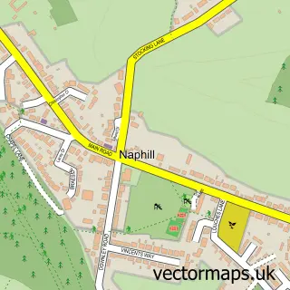
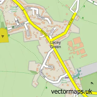
This Walter's Ash street map is a detailed vector street map covering a 750m x 750m area. Select a larger area to create and download your own vector street map of Walter's Ash.
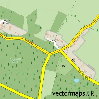
The 750-metre map sample for Walter's Ash covers 349 mapped buildings and approximately 10.6 km of road detail, of which 13 named roads are named. The immediate area includes 1 school, 1 GP surgery within 2 miles and 1 MOT station, with 2 within 2 miles. The wider area around Walter's Ash features 1 food and drink venue and 1 campsite within 2 miles. To create a larger or custom map of Walter's Ash, the map builder lets you define your own coverage area and download editable SVG, PDF and PNG files.
Create a larger editable map of Walter's Ash
Choose any area you need and generate a high-quality vector map instantly. Perfect for print, planning, design, business and personal use.

This Walter's Ash street map in Buckinghamshire is available as downloadable SVG, PDF and PNG map files, or as a printed map for planning, business, display, education, local information and design work. You can also create a larger custom map area using the map selector.
What this Walter's Ash map sample shows
Walter's Ash lies within Hughenden Cp parish, part of Greater Hughenden ward in the Buckinghamshire local authority area. The postcode geography for this area includes the HP postcode area, the HP14 postcode district and the HP14 4 postcode sector. Residents fall under the Nhs Buckinghamshire, Oxfordshire And Berkshire West Integrated Care Board for NHS services.
Local features near Walter's Ash
Within 2 milesAmenities and services in and around Walter's Ash.
Administrative and postcode information for Walter's Ash
Walter's Ash lies within Hughenden Cp parish, part of Greater Hughenden ward in the Buckinghamshire local authority area. The postcode geography for this area includes the HP postcode area, the HP14 postcode district and the HP14 4 postcode sector. Residents fall under the Nhs Buckinghamshire, Oxfordshire And Berkshire West Integrated Care Board for NHS services.
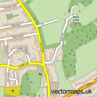
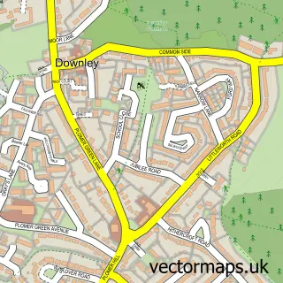
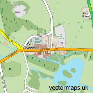
Nearby street map samples around Walter's Ash

More street maps in Buckinghamshire
750 metre map area coverage
Boundary, postcode and point of interest information for the 750m x 750m rectangle centred on this sample map.
Boundaries containing map centre
Constituency: Mid Buckinghamshire Co Const
District: Buckinghamshire
Icb: NHS Thames Valley ICB
Parish: Hughenden CP
Police Force: thames valley
Postcode District: HP14
Postcode Sector: HP14 4
Ward: Ridgeway East Ward
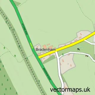
Nearby boundaries intersecting sample
Parish: Bradenham CP
Ward: Ridgeway West Ward
Postcode coverage
POI category counts
Gas Station: 4
Hvac Services: 4
Automotive Repair: 2
Bar: 2
Driving School: 2
Professional Services: 2
Armed Forces Branch: 1
Arts And Entertainment: 1
Atms: 1
Audiologist: 1
Sample points of interest
- RAF High Wycombe
- Walters Ash
- The Cooperative Food (BF) Walters Ash (ERF), Walters Ash
- The Hearing Care Partnership
- Manor Garage
- Walters Ash Coach Works
- Sgts Mess Bar RAF High Wycombe
- Smithy's
- Aquadell Plumbing
- Pony Espresso
- 3msroofing
- Steel & Style Design
Create a larger editable map of Walter's Ash
This sample shows only a 750 metre area. To create a larger map of Walter's Ash, use our map builder to choose your own coverage area, add titles and download editable SVG, PDF and PNG files.
Create a custom map of Walter's Ash