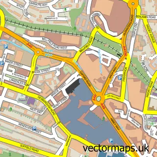
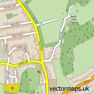
This Bradenham street map is a detailed vector street map covering a 750m x 750m area. Select a larger area to create and download your own vector street map of Bradenham.
The 750-metre map sample for Bradenham covers 28 mapped buildings and approximately 6.7 km of road detail, of which 3 named roads are named. The immediate area includes 1 pub and 4 MOT stations within 2 miles. The wider area around Bradenham features 1 food and drink venue and 1 campsite within 2 miles. To create a larger or custom map of Bradenham, the map builder lets you define your own coverage area and download editable SVG, PDF and PNG files.
Create a larger editable map of Bradenham
Choose any area you need and generate a high-quality vector map instantly. Perfect for print, planning, design, business and personal use.

This Bradenham street map in Buckinghamshire is available as downloadable SVG, PDF and PNG map files, or as a printed map for planning, business, display, education, local information and design work. You can also create a larger custom map area using the map selector.
What this Bradenham map sample shows
Bradenham lies within Bradenham Cp parish, part of Bledlow And Bradenham ward in the Buckinghamshire local authority area. The postcode geography for this area includes the HP postcode area, the HP14 postcode district and the HP14 4 postcode sector. Residents fall under the Nhs Buckinghamshire, Oxfordshire And Berkshire West Integrated Care Board for NHS services.
Local features near Bradenham
Within 2 milesAmenities and services in and around Bradenham.
Administrative and postcode information for Bradenham
Bradenham lies within Bradenham Cp parish, part of Bledlow And Bradenham ward in the Buckinghamshire local authority area. The postcode geography for this area includes the HP postcode area, the HP14 postcode district and the HP14 4 postcode sector. Residents fall under the Nhs Buckinghamshire, Oxfordshire And Berkshire West Integrated Care Board for NHS services.
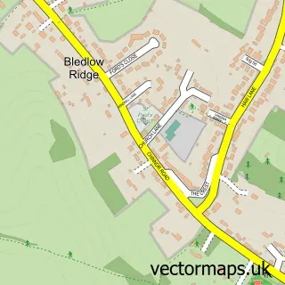
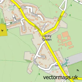
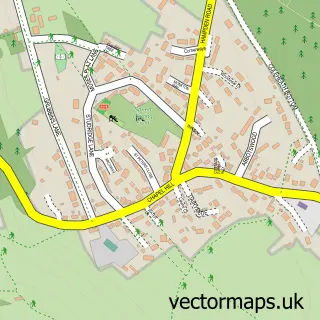
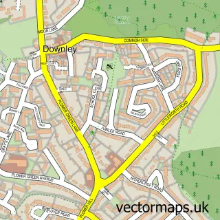
Nearby street map samples around Bradenham

More street maps in Buckinghamshire
750 metre map area coverage
Boundary, postcode and point of interest information for the 750m x 750m rectangle centred on this sample map.
Boundaries containing map centre
Constituency: Mid Buckinghamshire Co Const
District: Buckinghamshire
Icb: NHS Thames Valley ICB
Parish: Bradenham CP
Police Force: thames valley
Postcode District: HP14
Postcode Sector: HP14 4
Ward: Ridgeway West Ward
Nearby boundaries intersecting sample
Parish: Bledlow-cum-Saunderton CP
Postcode coverage
POI category counts
Active Life: 1
Carpenter: 1
Flowers And Gifts Shop: 1
Professional Services: 1
Pub: 1
Retirement Home: 1
Sports Club And League: 1
Tea Room: 1
Sample points of interest
- Bradenham Woods
- Chiltern Carving
- Fine & Dandy
- Matt Fowler Photography
- The Red Lion
- Bradenham Village
- Bradenham Cricket Club
- Red Lion
Create a larger editable map of Bradenham
This sample shows only a 750 metre area. To create a larger map of Bradenham, use our map builder to choose your own coverage area, add titles and download editable SVG, PDF and PNG files.
Create a custom map of Bradenham