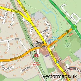
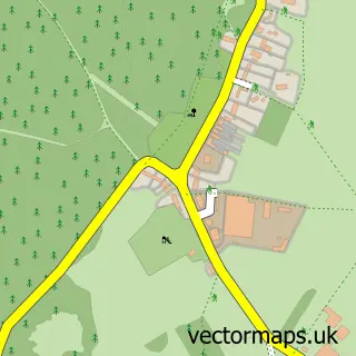
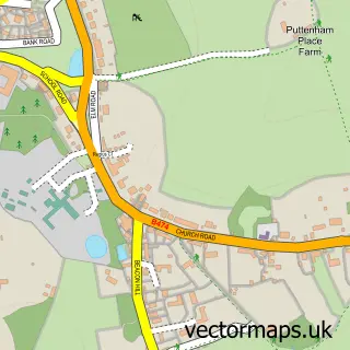
This Holmer Green street map is a detailed vector street map covering a 750m x 750m area. Select a larger area to create and download your own vector street map of Holmer Green.
The 750-metre map sample for Holmer Green covers 585 mapped buildings and approximately 18.4 km of road detail, of which 50 named roads are named. The immediate area includes 1 school, 1 GP surgery within 2 miles, 4 pubs and 1 MOT station, with 5 within 2 miles. The wider area around Holmer Green features 1 tourism point of interest and 6 food and drink venues. To create a larger or custom map of Holmer Green, the map builder lets you define your own coverage area and download editable SVG, PDF and PNG files.
Create a larger editable map of Holmer Green
Choose any area you need and generate a high-quality vector map instantly. Perfect for print, planning, design, business and personal use.

This Holmer Green street map in Buckinghamshire is available as downloadable SVG, PDF and PNG map files, or as a printed map for planning, business, display, education, local information and design work. You can also create a larger custom map area using the map selector.
What this Holmer Green map sample shows
Holmer Green lies within Little Missenden Cp parish, part of Holmer Green ward in the Buckinghamshire local authority area. The postcode geography for this area includes the HP postcode area, the HP15 postcode district and the HP15 6 postcode sector. Residents fall under the Nhs Buckinghamshire, Oxfordshire And Berkshire West Integrated Care Board for NHS services.
Local features near Holmer Green
Within 2 milesAmenities and services in and around Holmer Green.
Administrative and postcode information for Holmer Green
The local authority covering Holmer Green is Buckinghamshire, within the county of Buckinghamshire. The settlement lies within Holmer Green ward and Little Missenden Cp civil parish. The HP15 postcode district and HP15 6 postcode sector serve the immediate area. NHS provision in the area is delivered through Buckinghamshire Healthcare Nhs Trust.
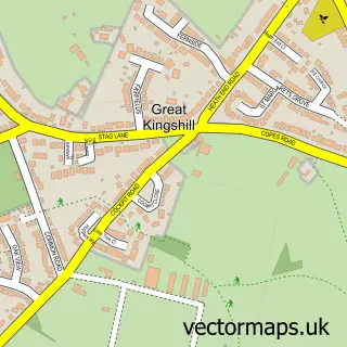
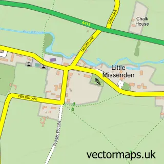
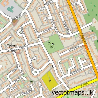
Nearby street map samples around Holmer Green

More street maps in Buckinghamshire
750 metre map area coverage
Boundary, postcode and point of interest information for the 750m x 750m rectangle centred on this sample map.
Boundaries containing map centre
Constituency: Chesham and Amersham Co Const
District: Buckinghamshire
Icb: NHS Thames Valley ICB
Parish: Little Missenden CP
Police Force: thames valley
Postcode District: HP15
Postcode Sector: HP15 6
Ward: The Missendens Ward
Nearby boundaries intersecting sample
No additional intersecting boundaries found.
Postcode coverage
POI category counts
Professional Services: 4
Pub: 4
Building Supply Store: 3
Education: 3
Assisted Living Facility: 2
Automotive Repair: 2
Beauty Salon: 2
Church Cathedral: 2
Convenience Store: 2
School: 2
Sample points of interest
- Christ Church Centre
- Trueman Architects Ltd
- Where Inspiration Blooms - The Studio
- Cherry Garth
- Home
- Home Counties Mortgage Services
- Holmer Green Garage
- W & M Stevens Motor Engineers
- Holmer Green Baptist Church
- Allure Boutique
- Paradise Beautyy
- Octagon Books
Create a larger editable map of Holmer Green
This sample shows only a 750 metre area. To create a larger map of Holmer Green, use our map builder to choose your own coverage area, add titles and download editable SVG, PDF and PNG files.
Create a custom map of Holmer Green