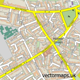
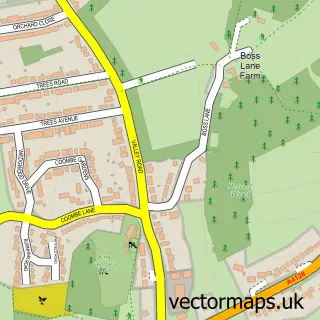
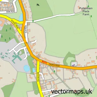
This Widmer End street map is a detailed vector street map covering a 750m x 750m area. Select a larger area to create and download your own vector street map of Widmer End.
The 750-metre map sample for Widmer End covers 453 mapped buildings and approximately 14.7 km of road detail, of which 30 named roads are named. The immediate area includes 1 school, 3 GP surgeries within 2 miles and 5 MOT stations within 2 miles. To create a larger or custom map of Widmer End, the map builder lets you define your own coverage area and download editable SVG, PDF and PNG files.
Create a larger editable map of Widmer End
Choose any area you need and generate a high-quality vector map instantly. Perfect for print, planning, design, business and personal use.

This Widmer End street map in Buckinghamshire is available as downloadable SVG, PDF and PNG map files, or as a printed map for planning, business, display, education, local information and design work. You can also create a larger custom map area using the map selector.
What this Widmer End map sample shows
Widmer End lies within Hazlemere Cp parish, part of Hazlemere North ward in the Buckinghamshire local authority area. The postcode geography for this area includes the HP postcode area, the HP15 postcode district and the HP15 7 postcode sector. Residents fall under the Nhs Buckinghamshire, Oxfordshire And Berkshire West Integrated Care Board for NHS services.
Local features near Widmer End
Within 2 milesAmenities and services in and around Widmer End.
Administrative and postcode information for Widmer End
The local authority covering Widmer End is Buckinghamshire, within the county of Buckinghamshire. The settlement lies within Hazlemere North ward and Hazlemere Cp civil parish. The HP15 postcode district and HP15 7 postcode sector serve the immediate area. NHS provision in the area is delivered through Buckinghamshire Healthcare Nhs Trust.
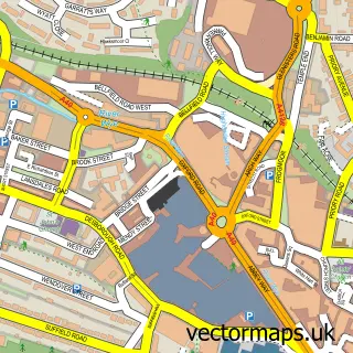
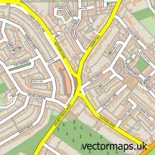
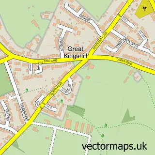
Nearby street map samples around Widmer End

More street maps in Buckinghamshire
750 metre map area coverage
Boundary, postcode and point of interest information for the 750m x 750m rectangle centred on this sample map.
Boundaries containing map centre
Constituency: Chesham and Amersham Co Const
District: Buckinghamshire
Icb: NHS Thames Valley ICB
Parish: Hazlemere CP
Police Force: thames valley
Postcode District: HP15
Postcode Sector: HP15 6
Nearby boundaries intersecting sample
Constituency: Mid Buckinghamshire Co Const
Parish: Hughenden CP
Postcode Sector: HP15 7
Ward: Hazlemere Ward, Ridgeway East Ward
Postcode coverage
POI category counts
It Service And Computer Repair: 3
Auto Electrical Repair: 2
Charity Organization: 2
Driving School: 2
Electrician: 2
Elementary School: 2
Hvac Services: 2
Information Technology Company: 2
Professional Services: 2
Active Life: 1
Sample points of interest
- Fit6
- Roundhead Illustration
- Good Shepherd
- St. James' Court - Extra Care
- Blue Chip Security Ltd.
- Bright Sparks
- R E Technologies
- Crackerjacks Barbershop
- Classic & Contemporary Bathrooms
- AshDormer
- Ryan's Garden Services
- Impact Private Hire
Create a larger editable map of Widmer End
This sample shows only a 750 metre area. To create a larger map of Widmer End, use our map builder to choose your own coverage area, add titles and download editable SVG, PDF and PNG files.
Create a custom map of Widmer End