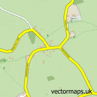
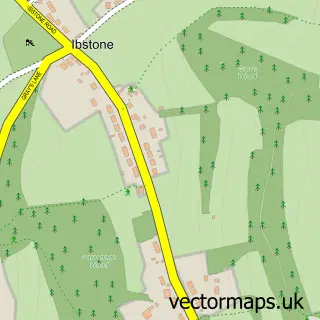
This Studley Green street map is a detailed vector street map covering a 750m x 750m area. Select a larger area to create and download your own vector street map of Studley Green.
The 750-metre map sample for Studley Green covers 186 mapped buildings and approximately 9.4 km of road detail, of which 6 named roads are named. The immediate area includes 1 GP surgery within 2 miles and 2 MOT stations within 2 miles. The wider area around Studley Green features 1 tourism point of interest and 2 campsites within 2 miles. To create a larger or custom map of Studley Green, the map builder lets you define your own coverage area and download editable SVG, PDF and PNG files.
Create a larger editable map of Studley Green
Choose any area you need and generate a high-quality vector map instantly. Perfect for print, planning, design, business and personal use.

This Studley Green street map in Buckinghamshire is available as downloadable SVG, PDF and PNG map files, or as a printed map for planning, business, display, education, local information and design work. You can also create a larger custom map area using the map selector.
What this Studley Green map sample shows
Studley Green lies within Stokenchurch Cp parish, part of Stokenchurch And Radnage ward in the Buckinghamshire local authority area. The postcode geography for this area includes the HP postcode area, the HP14 postcode district and the HP14 3 postcode sector. Residents fall under the Nhs Buckinghamshire, Oxfordshire And Berkshire West Integrated Care Board for NHS services.
Local features near Studley Green
Within 2 milesAmenities and services in and around Studley Green.
Administrative and postcode information for Studley Green
The local authority covering Studley Green is Buckinghamshire, within the county of Buckinghamshire. The settlement lies within Stokenchurch And Radnage ward and Stokenchurch Cp civil parish. The HP14 postcode district and HP14 3 postcode sector serve the immediate area. NHS provision in the area is delivered through Buckinghamshire Healthcare Nhs Trust.
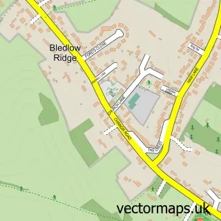
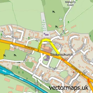
Nearby street map samples around Studley Green


More street maps in Buckinghamshire
750 metre map area coverage
Boundary, postcode and point of interest information for the 750m x 750m rectangle centred on this sample map.
Boundaries containing map centre
Constituency: Wycombe Co Const
District: Buckinghamshire
Icb: NHS Thames Valley ICB
Parish: Stokenchurch CP
Police Force: thames valley
Postcode District: HP14
Postcode Sector: HP14 3
Ward: Ridgeway West Ward
Nearby boundaries intersecting sample
Constituency: Mid Buckinghamshire Co Const
Postcode coverage
POI category counts
It Service And Computer Repair: 2
Building Contractor: 1
Carpet Store: 1
Chiropractor: 1
Community Center: 1
Education: 1
Elementary School: 1
Graphic Designer: 1
Landmark And Historical Building: 1
Nursery And Gardening: 1
Sample points of interest
- Aaa Driveway Solutions
- Carpet Doctor
- GreenTree Chiropractic and Osteopathy
- Studley Green Community Centre
- Buckinghamshire County Council
- Mary Towerton School
- Imagework Media
- Jsl Computers
- Jsl Services Group Ltd.
- Horsleys Green Private Phone Box
- Studley Green Garden Centre
- The Barking Barbers - Dog Grooming Spa
Create a larger editable map of Studley Green
This sample shows only a 750 metre area. To create a larger map of Studley Green, use our map builder to choose your own coverage area, add titles and download editable SVG, PDF and PNG files.
Create a custom map of Studley Green