
This Hambleden street map is a detailed vector street map covering a 750m x 750m area. Select a larger area to create and download your own vector street map of Hambleden.
The 750-metre map sample for Hambleden covers 56 mapped buildings and approximately 4.6 km of road detail. The immediate area includes 2 pubs. The wider area around Hambleden features 2 tourism points of interest and 2 food and drink venues. To create a larger or custom map of Hambleden, the map builder lets you define your own coverage area and download editable SVG, PDF and PNG files.
Create a larger editable map of Hambleden
Choose any area you need and generate a high-quality vector map instantly. Perfect for print, planning, design, business and personal use.
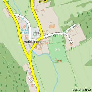
This Hambleden street map in Buckinghamshire is available as downloadable SVG, PDF and PNG map files, or as a printed map for planning, business, display, education, local information and design work. You can also create a larger custom map area using the map selector.
What this Hambleden map sample shows
Hambleden lies within Hambleden Cp parish, part of Hambleden Valley ward in the Buckinghamshire local authority area. The postcode geography for this area includes the RG postcode area, the RG9 postcode district and the RG9 6 postcode sector. Residents fall under the Nhs Buckinghamshire, Oxfordshire And Berkshire West Integrated Care Board for NHS services.
Local features near Hambleden
Within 2 milesAmenities and services in and around Hambleden.
Administrative and postcode information for Hambleden
Hambleden lies within Hambleden Cp parish, part of Hambleden Valley ward in the Buckinghamshire local authority area. The postcode geography for this area includes the RG postcode area, the RG9 postcode district and the RG9 6 postcode sector. Residents fall under the Nhs Buckinghamshire, Oxfordshire And Berkshire West Integrated Care Board for NHS services.
Nearby street map samples around Hambleden
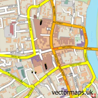
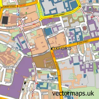
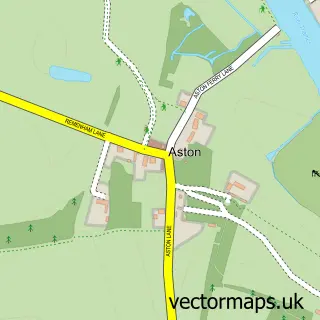
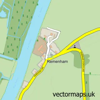
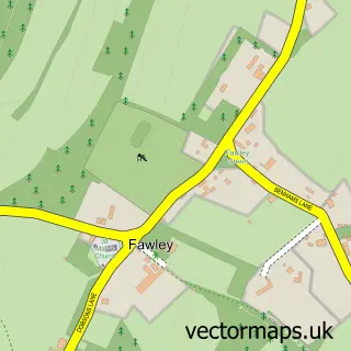
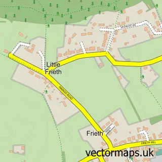
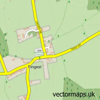
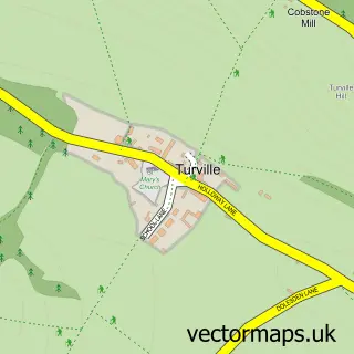
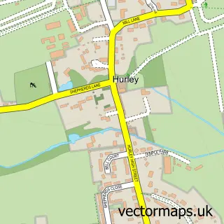
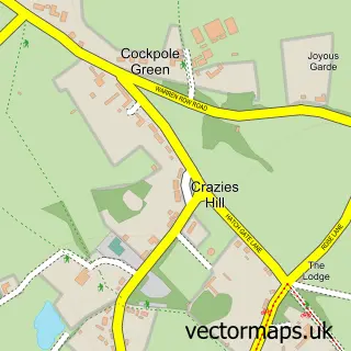
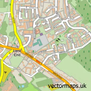
More street maps in Buckinghamshire
750 metre map area coverage
Boundary, postcode and point of interest information for the 750m x 750m rectangle centred on this sample map.
Boundaries containing map centre
Constituency: Wycombe Co Const
District: Buckinghamshire
Icb: NHS Thames Valley ICB
Parish: Hambleden CP
Police Force: thames valley
Postcode District: RG9
Postcode Sector: RG9 6
Ward: Chiltern Villages Ward
Nearby boundaries intersecting sample
No additional intersecting boundaries found.
Postcode coverage
POI category counts
Sports Club And League: 3
Church Cathedral: 2
Landmark And Historical Building: 2
Pub: 2
Shipping Center: 2
Anglican Church: 1
Automotive Repair: 1
Building Contractor: 1
Community Center: 1
Convenience Store: 1
Sample points of interest
- Hambleden: St Mary the Virgin
- The Stag & Huntsman garage
- W J Webb & Son Ltd.
- St Mary the Virgin Church
- The Church of St. Mary the Virgin
- Hambleden Village Hall
- Hambleden Stores & Post Office
- Hambleden Surgery
- NC Electrical
- NC Electrical
- Studio HÁM
- Hambleden Artisan Market
Create a larger editable map of Hambleden
This sample shows only a 750 metre area. To create a larger map of Hambleden, use our map builder to choose your own coverage area, add titles and download editable SVG, PDF and PNG files.
Create a custom map of Hambleden