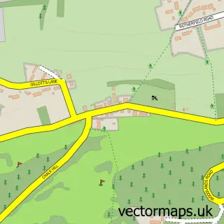
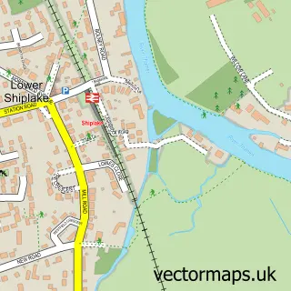
This Henley-on-Thames street map is a detailed vector street map covering a 750m x 750m area. Select a larger area to create and download your own vector street map of Henley-on-Thames.
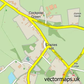
The 750-metre map sample for Henley-on-Thames covers 318 mapped buildings and approximately 18.0 km of road detail, of which 45 named roads are named. The immediate area includes 2 schools, 1 railway station, 2 GP surgeries and 13 pubs among other local services. The wider area around Henley-on-Thames features 4 tourism points of interest, 51 food and drink venues and 5 hotels. To create a larger or custom map of Henley-on-Thames, the map builder lets you define your own coverage area and download editable SVG, PDF and PNG files.
Create a larger editable map of Henley-on-Thames
Choose any area you need and generate a high-quality vector map instantly. Perfect for print, planning, design, business and personal use.

This Henley-on-Thames street map in Oxfordshire is available as downloadable SVG, PDF and PNG map files, or as a printed map for planning, business, display, education, local information and design work. You can also create a larger custom map area using the map selector.
What this Henley-on-Thames map sample shows
Henley-on-Thames lies within Henley-On-Thames Cp parish, part of Henley-On-Thames ward in the South Oxfordshire District local authority area. The postcode geography for this area includes the RG postcode area, the RG9 postcode district and the RG9 2 postcode sector. Residents fall under the Nhs Buckinghamshire, Oxfordshire And Berkshire West Integrated Care Board for NHS services.
Local features near Henley-on-Thames
Within 2 milesAmenities and services in and around Henley-on-Thames.
Administrative and postcode information for Henley-on-Thames
Henley-on-Thames lies within Henley-On-Thames Cp parish, part of Henley-On-Thames ward in the South Oxfordshire District local authority area. The postcode geography for this area includes the RG postcode area, the RG9 postcode district and the RG9 2 postcode sector. Residents fall under the Nhs Buckinghamshire, Oxfordshire And Berkshire West Integrated Care Board for NHS services.
Nearby street map samples around Henley-on-Thames

More street maps in Oxfordshire
750 metre map area coverage
Boundary, postcode and point of interest information for the 750m x 750m rectangle centred on this sample map.
Boundaries containing map centre
Constituency: Henley and Thame Co Const
County: Oxfordshire County
District: South Oxfordshire District
Icb: NHS Thames Valley ICB
Parish: Henley-on-Thames CP
Police Force: thames valley
Postcode District: RG9
Postcode Sector: RG9 2
Ward: Henley-on-Thames Ward
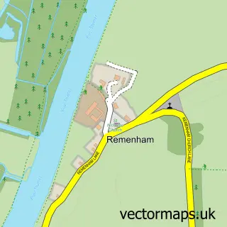
Nearby boundaries intersecting sample
Constituency: Wokingham Co Const
District: Wokingham (B)
Parish: Remenham CP
Postcode Sector: RG9 1
Ward: Thames Ward
Postcode coverage
POI category counts
Real Estate Agent: 21
Clothing Store: 19
Professional Services: 19
Advertising Agency: 16
Beauty Salon: 16
Restaurant: 16
Art Gallery: 15
Pub: 13
Hair Salon: 12
Retail: 12
Sample points of interest
- H M T LLP
- Henley Business Accountancy
- Inca Accountants
- Jefferies Accountancy Services
- TaxAssist Accountants
- Think Forwards
- Purestretch Ltd.
- Anna Bennett
- Deanfield Health Clinic
- Henley Community Acupuncture
- Aura Creative
- Billings Publicity
Create a larger editable map of Henley-on-Thames
This sample shows only a 750 metre area. To create a larger map of Henley-on-Thames, use our map builder to choose your own coverage area, add titles and download editable SVG, PDF and PNG files.
Create a custom map of Henley-on-Thames