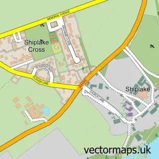
This Lower Shiplake street map is a detailed vector street map covering a 750m x 750m area. Select a larger area to create and download your own vector street map of Lower Shiplake.
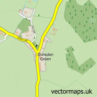
The 750-metre map sample for Lower Shiplake covers 262 mapped buildings and approximately 7.0 km of road detail, of which 18 named roads are named. The immediate area includes 1 railway station, 1 GP surgery within 2 miles, 1 pub and 1 MOT station, with 4 within 2 miles. The wider area around Lower Shiplake features 1 food and drink venue. To create a larger or custom map of Lower Shiplake, the map builder lets you define your own coverage area and download editable SVG, PDF and PNG files.
Create a larger editable map of Lower Shiplake
Choose any area you need and generate a high-quality vector map instantly. Perfect for print, planning, design, business and personal use.

This Lower Shiplake street map in Oxfordshire is available as downloadable SVG, PDF and PNG map files, or as a printed map for planning, business, display, education, local information and design work. You can also create a larger custom map area using the map selector.
What this Lower Shiplake map sample shows
Lower Shiplake lies within Shiplake Cp parish, part of Sonning Common ward in the South Oxfordshire District local authority area. The postcode geography for this area includes the RG postcode area, the RG9 postcode district and the RG9 3 postcode sector. Residents fall under the Nhs Buckinghamshire, Oxfordshire And Berkshire West Integrated Care Board for NHS services.
Local features near Lower Shiplake
Within 2 milesAmenities and services in and around Lower Shiplake.
Administrative and postcode information for Lower Shiplake
The local authority covering Lower Shiplake is South Oxfordshire District, within the county of Oxfordshire. The settlement lies within Sonning Common ward and Shiplake Cp civil parish. The RG9 postcode district and RG9 3 postcode sector serve the immediate area. NHS provision in the area is delivered through Royal Berkshire Nhs Foundation Trust.
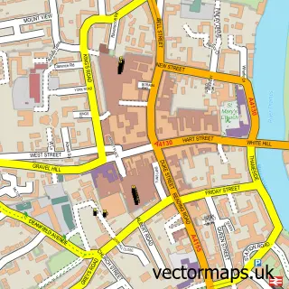
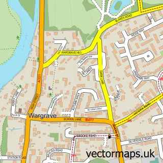
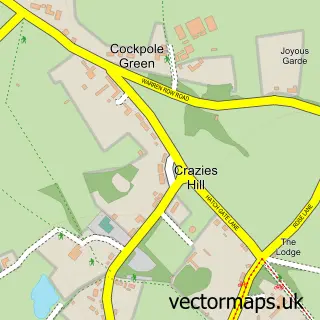
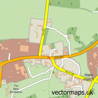
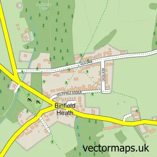
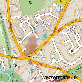
Nearby street map samples around Lower Shiplake


More street maps in Oxfordshire
750 metre map area coverage
Boundary, postcode and point of interest information for the 750m x 750m rectangle centred on this sample map.
Boundaries containing map centre
Constituency: Henley and Thame Co Const
County: Oxfordshire County
District: South Oxfordshire District
Icb: NHS Thames Valley ICB
Parish: Shiplake CP
Police Force: thames valley
Postcode District: RG9
Postcode Sector: RG9 3
Ward: Sonning Common Ward
Nearby boundaries intersecting sample
Constituency: Wokingham Co Const
District: Wokingham (B)
Parish: Wargrave CP
Postcode District: RG10
Postcode Sector: RG10 8
Ward: Thames Ward
Postcode coverage
POI category counts
Automotive Repair: 3
Train Station: 2
Arts And Entertainment: 1
Automotive: 1
Butcher Shop: 1
Car Dealer: 1
Environmental Conservation Organization: 1
Landscaping: 1
Lawyer: 1
Naturopathic Holistic: 1
Sample points of interest
- Mark Blanchard Furniture
- JS Motorworks
- Henley Beetles
- JS Motorworks
- Shiplake Motors
- Shiplake Butchers
- Shiplake Motors
- Sidney Harrison House
- Ana Mari Bull Landscape & Garden Design
- Lifetime Legal
- Marina Danilova Clinic
- Lower Shiplake Post Office
Create a larger editable map of Lower Shiplake
This sample shows only a 750 metre area. To create a larger map of Lower Shiplake, use our map builder to choose your own coverage area, add titles and download editable SVG, PDF and PNG files.
Create a custom map of Lower Shiplake