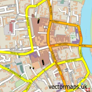
This Wargrave street map is a detailed vector street map covering a 750m x 750m area. Select a larger area to create and download your own vector street map of Wargrave.
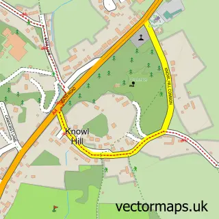
The 750-metre map sample for Wargrave covers 419 mapped buildings and approximately 16.0 km of road detail, of which 30 named roads are named. The immediate area includes 1 school, 1 GP surgery, with 2 within 2 miles, 7 pubs and 4 MOT stations within 2 miles. The wider area around Wargrave features 2 tourism points of interest and 10 food and drink venues. To create a larger or custom map of Wargrave, the map builder lets you define your own coverage area and download editable SVG, PDF and PNG files.
Create a larger editable map of Wargrave
Choose any area you need and generate a high-quality vector map instantly. Perfect for print, planning, design, business and personal use.

This Wargrave street map in Berkshire is available as downloadable SVG, PDF and PNG map files, or as a printed map for planning, business, display, education, local information and design work. You can also create a larger custom map area using the map selector.
What this Wargrave map sample shows
Wargrave lies within Wargrave Cp parish, part of Remenham, Wargrave And Ruscombe ward in the Wokingham (B) local authority area. The postcode geography for this area includes the RG postcode area, the RG10 postcode district and the RG10 8 postcode sector. Residents fall under the Nhs Buckinghamshire, Oxfordshire And Berkshire West Integrated Care Board for NHS services.
Local features near Wargrave
Within 2 milesAmenities and services in and around Wargrave.
Administrative and postcode information for Wargrave
The local authority covering Wargrave is Wokingham (B), within the county of Berkshire. The settlement lies within Remenham, Wargrave And Ruscombe ward and Wargrave Cp civil parish. The RG10 postcode district and RG10 8 postcode sector serve the immediate area. NHS provision in the area is delivered through Royal Berkshire Nhs Foundation Trust.
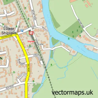
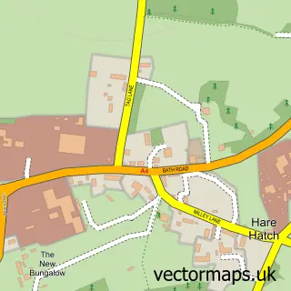
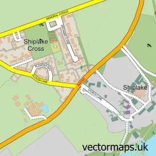
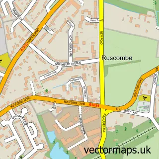
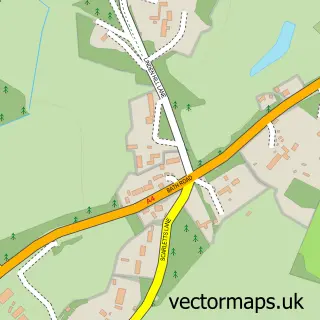
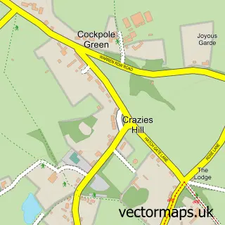
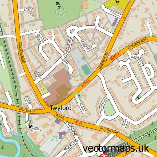
Nearby street map samples around Wargrave

More street maps in Berkshire
750 metre map area coverage
Boundary, postcode and point of interest information for the 750m x 750m rectangle centred on this sample map.
Boundaries containing map centre
Constituency: Wokingham Co Const
District: Wokingham (B)
Icb: NHS Thames Valley ICB
Parish: Wargrave CP
Police Force: thames valley
Postcode District: RG10
Postcode Sector: RG10 8
Ward: Thames Ward
Nearby boundaries intersecting sample
Constituency: Henley and Thame Co Const
County: Oxfordshire County
District: South Oxfordshire District
Parish: Shiplake CP
Ward: Sonning Common Ward
Postcode coverage
POI category counts
Pub: 7
Building Supply Store: 3
Doctor: 3
Retail: 3
Coffee Shop: 2
Flowers And Gifts Shop: 2
Professional Services: 2
Advertising Agency: 1
Antique Store: 1
Architectural Designer: 1
Sample points of interest
- Red Sky Marketing
- Plummer & Imrie Antiques
- Floor Plans Express
- Painted by Lucy
- Wargrave on Thames Housing Association
- Wargrave Auto Centre
- Barber Crew
- Fern Aesthetics
- Inverloddon Bed and Breakfast
- Flyer Films
- A Stitch in Twine
- Big Green Skip Hire
Create a larger editable map of Wargrave
This sample shows only a 750 metre area. To create a larger map of Wargrave, use our map builder to choose your own coverage area, add titles and download editable SVG, PDF and PNG files.
Create a custom map of Wargrave