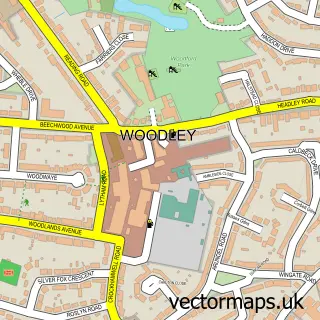
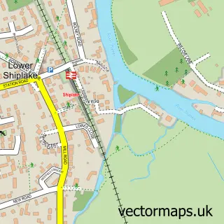
This Twyford street map is a detailed vector street map covering a 750m x 750m area. Select a larger area to create and download your own vector street map of Twyford.
The 750-metre map sample for Twyford covers 438 mapped buildings and approximately 16.1 km of road detail, of which 29 named roads are named. The immediate area includes 1 school, 1 railway station, 1 GP surgery, with 3 within 2 miles and 2 pubs among other local services. The wider area around Twyford features 10 food and drink venues. To create a larger or custom map of Twyford, the map builder lets you define your own coverage area and download editable SVG, PDF and PNG files.
Create a larger editable map of Twyford
Choose any area you need and generate a high-quality vector map instantly. Perfect for print, planning, design, business and personal use.

This Twyford street map in Berkshire is available as downloadable SVG, PDF and PNG map files, or as a printed map for planning, business, display, education, local information and design work. You can also create a larger custom map area using the map selector.
What this Twyford map sample shows
Twyford lies within Twyford Cp parish, part of Twyford ward in the Wokingham (B) local authority area. The postcode geography for this area includes the RG postcode area, the RG10 postcode district and the RG10 9 postcode sector. Residents fall under the Nhs Buckinghamshire, Oxfordshire And Berkshire West Integrated Care Board for NHS services.
Local features near Twyford
Within 2 milesAmenities and services in and around Twyford.
Administrative and postcode information for Twyford
Twyford lies within Twyford Cp parish, part of Twyford ward in the Wokingham (B) local authority area. The postcode geography for this area includes the RG postcode area, the RG10 postcode district and the RG10 9 postcode sector. Residents fall under the Nhs Buckinghamshire, Oxfordshire And Berkshire West Integrated Care Board for NHS services.
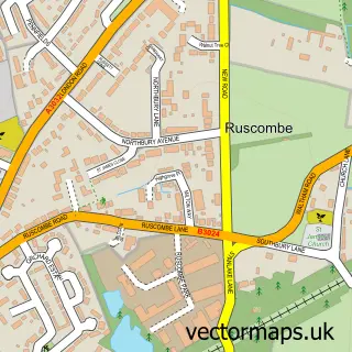
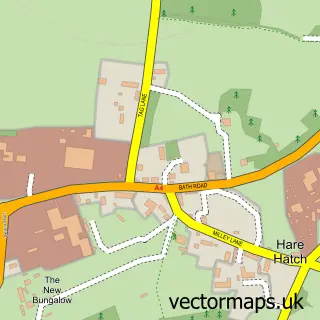
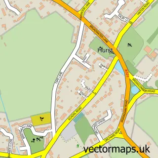
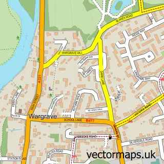
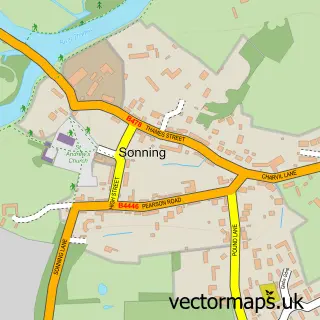
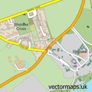
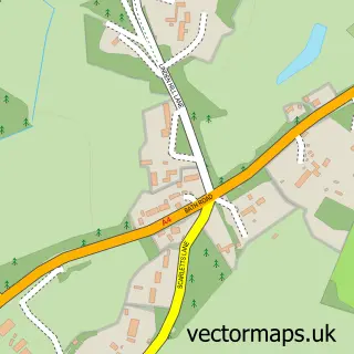
Nearby street map samples around Twyford

More street maps in Berkshire
750 metre map area coverage
Boundary, postcode and point of interest information for the 750m x 750m rectangle centred on this sample map.
Boundaries containing map centre
Constituency: Wokingham Co Const
District: Wokingham (B)
Icb: NHS Thames Valley ICB
Parish: Twyford CP
Police Force: thames valley
Postcode District: RG10
Postcode Sector: RG10 9
Ward: Twyford, Ruscombe & Hurst Ward
Nearby boundaries intersecting sample
Parish: Ruscombe CP
Postcode Sector: RG10 0
Postcode coverage
POI category counts
Dentist: 7
Beauty Salon: 6
Real Estate Agent: 6
Barber: 4
Bridal Shop: 4
Building Supply Store: 4
Cafe: 4
Dry Cleaning: 4
Financial Service: 4
General Dentistry: 4
Sample points of interest
- Gisela Sharpe Accountancy
- Slash Design
- Sunrise Marketing
- Twyford: St Mary's
- Guttfield Architecture
- Art for Art's Sake
- Haahoos
- The Porcelain Pig - Art Bar & Studio
- twyford youth centre
- The Thai Elephant Restaurant
- Polehampton Court Sheltered Housing
- Waitrose Twyford
Create a larger editable map of Twyford
This sample shows only a 750 metre area. To create a larger map of Twyford, use our map builder to choose your own coverage area, add titles and download editable SVG, PDF and PNG files.
Create a custom map of Twyford