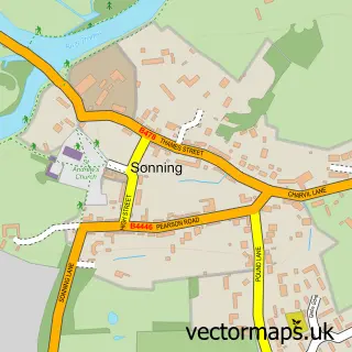
This Hurst street map is a detailed vector street map covering a 750m x 750m area. Select a larger area to create and download your own vector street map of Hurst.
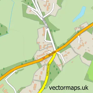
The 750-metre map sample for Hurst covers 269 mapped buildings and approximately 14.4 km of road detail, of which 18 named roads are named. The immediate area includes 1 school, 2 GP surgeries within 2 miles and 4 MOT stations within 2 miles. The wider area around Hurst features 1 tourism point of interest, 1 food and drink venue and 1 hotel. To create a larger or custom map of Hurst, the map builder lets you define your own coverage area and download editable SVG, PDF and PNG files.
Create a larger editable map of Hurst
Choose any area you need and generate a high-quality vector map instantly. Perfect for print, planning, design, business and personal use.

This Hurst street map in Berkshire is available as downloadable SVG, PDF and PNG map files, or as a printed map for planning, business, display, education, local information and design work. You can also create a larger custom map area using the map selector.
What this Hurst map sample shows
Hurst lies within St. Nicholas, Hurst Cp parish, part of Hurst ward in the Wokingham (B) local authority area. The postcode geography for this area includes the RG postcode area, the RG10 postcode district and the RG10 0 postcode sector. Residents fall under the Nhs Buckinghamshire, Oxfordshire And Berkshire West Integrated Care Board for NHS services.
Local features near Hurst
Within 2 milesAmenities and services in and around Hurst.
Administrative and postcode information for Hurst
The local authority covering Hurst is Wokingham (B), within the county of Berkshire. The settlement lies within Hurst ward and St. Nicholas, Hurst Cp civil parish. The RG10 postcode district and RG10 0 postcode sector serve the immediate area. NHS provision in the area is delivered through Royal Berkshire Nhs Foundation Trust.
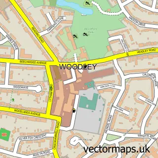
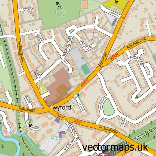
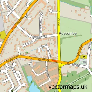
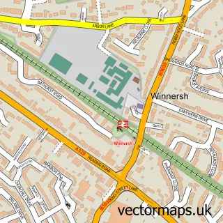
Nearby street map samples around Hurst

More street maps in Berkshire
750 metre map area coverage
Boundary, postcode and point of interest information for the 750m x 750m rectangle centred on this sample map.
Boundaries containing map centre
Constituency: Wokingham Co Const
District: Wokingham (B)
Icb: NHS Thames Valley ICB
Parish: St. Nicholas, Hurst CP
Police Force: thames valley
Postcode District: RG10
Postcode Sector: RG10 0
Ward: Twyford, Ruscombe & Hurst Ward
Nearby boundaries intersecting sample
No additional intersecting boundaries found.
Postcode coverage
POI category counts
Building Supply Store: 3
Arts And Entertainment: 2
Caterer: 2
Martial Arts Club: 2
Preschool: 2
Amateur Sports Team: 1
Cafe: 1
Convenience Store: 1
Elementary School: 1
Event Planning: 1
Sample points of interest
- Hurst Football Club
- Hurst Show and Country Fayre
- Thames Valley Discos
- Jane Carr Soft Furnishings
- Paul White Landscaping
- Turners Plumbing & Heating Ltd
- Hurst Bakery
- Fig&Fleur
- Vintage Hog Roast Co
- Central Convenience, Hurst
- St Nicholas Church of England Primary School
- Hurst Village Hall
Create a larger editable map of Hurst
This sample shows only a 750 metre area. To create a larger map of Hurst, use our map builder to choose your own coverage area, add titles and download editable SVG, PDF and PNG files.
Create a custom map of Hurst