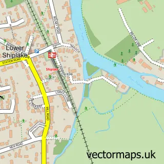
This Sonning street map is a detailed vector street map covering a 750m x 750m area. Select a larger area to create and download your own vector street map of Sonning.
The 750-metre map sample for Sonning covers 203 mapped buildings and approximately 5.8 km of road detail, of which 9 named roads are named. The immediate area includes 2 GP surgeries within 2 miles, 1 pub and 3 MOT stations within 2 miles. The wider area around Sonning features 1 tourism point of interest, 1 food and drink venue and 1 hotel. To create a larger or custom map of Sonning, the map builder lets you define your own coverage area and download editable SVG, PDF and PNG files.
Create a larger editable map of Sonning
Choose any area you need and generate a high-quality vector map instantly. Perfect for print, planning, design, business and personal use.

This Sonning street map in Berkshire is available as downloadable SVG, PDF and PNG map files, or as a printed map for planning, business, display, education, local information and design work. You can also create a larger custom map area using the map selector.
What this Sonning map sample shows
Sonning lies within Sonning Cp parish, part of Sonning ward in the Wokingham (B) local authority area. The postcode geography for this area includes the RG postcode area, the RG4 postcode district and the RG4 6 postcode sector. Residents fall under the Nhs Buckinghamshire, Oxfordshire And Berkshire West Integrated Care Board for NHS services.
Local features near Sonning
Within 2 milesAmenities and services in and around Sonning.
Administrative and postcode information for Sonning
Sonning lies within Sonning Cp parish, part of Sonning ward in the Wokingham (B) local authority area. The postcode geography for this area includes the RG postcode area, the RG4 postcode district and the RG4 6 postcode sector. Residents fall under the Nhs Buckinghamshire, Oxfordshire And Berkshire West Integrated Care Board for NHS services.
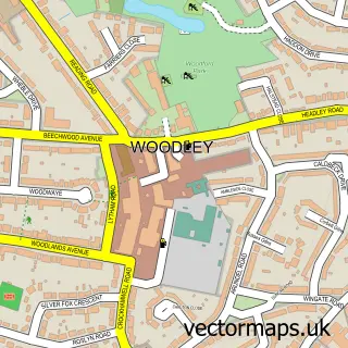
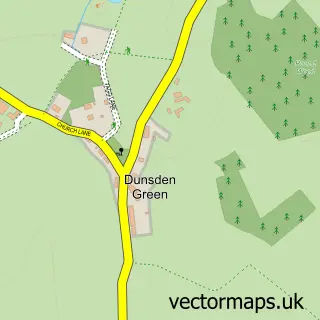
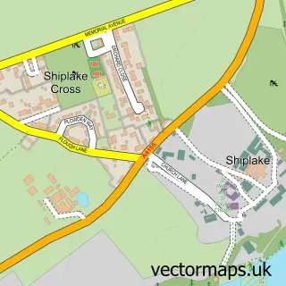
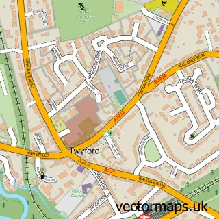
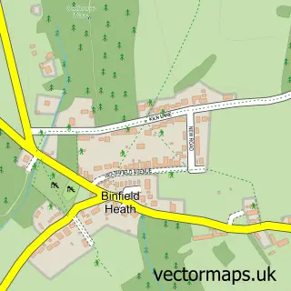
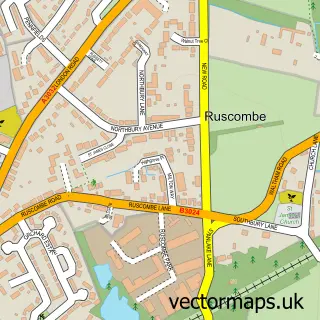
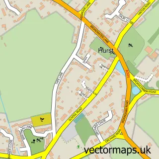
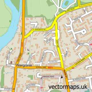
Nearby street map samples around Sonning

More street maps in Berkshire
750 metre map area coverage
Boundary, postcode and point of interest information for the 750m x 750m rectangle centred on this sample map.
Boundaries containing map centre
Constituency: Earley and Woodley Boro Const
District: Wokingham (B)
Icb: NHS Thames Valley ICB
Parish: Sonning CP
Police Force: thames valley
Postcode District: RG4
Postcode Sector: RG4 6
Ward: Thames Ward
Nearby boundaries intersecting sample
Constituency: Henley and Thame Co Const
County: Oxfordshire County
District: South Oxfordshire District
Parish: Eye and Dunsden CP
Ward: Sonning Common Ward
Postcode coverage
POI category counts
Church Cathedral: 3
Bridge: 2
Advertising Agency: 1
Anglican Church: 1
Animal Shelter: 1
Appliance Manufacturer: 1
Bar And Grill Restaurant: 1
Boat Rental And Training: 1
Building Contractor: 1
Career Counseling: 1
Sample points of interest
- One Bite Communications
- Sonning St Andrew
- STA Ferret Rescue
- Rehabteq
- Coppa Club
- Sonning Boats and Launches
- Sonning Backwater Bridges
- Sonning Bridge
- Bearwoodbrown Handyman
- Context4
- Sonning Church
- St Andrew's Church
Create a larger editable map of Sonning
This sample shows only a 750 metre area. To create a larger map of Sonning, use our map builder to choose your own coverage area, add titles and download editable SVG, PDF and PNG files.
Create a custom map of Sonning