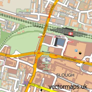
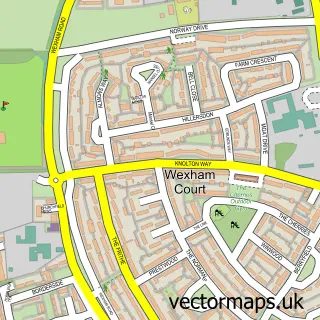
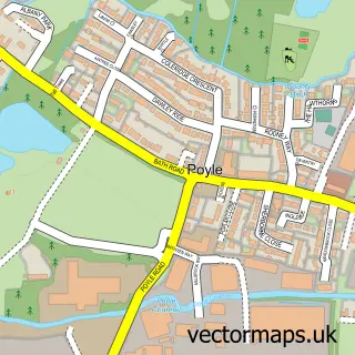
This Langley street map is a detailed vector street map covering a 750m x 750m area. Select a larger area to create and download your own vector street map of Langley.
The 750-metre map sample for Langley covers 451 mapped buildings and approximately 14.7 km of road detail, of which 28 named roads are named. The immediate area includes 2 primary schools and 1 secondary school, 8 GP surgeries within 2 miles and 17 MOT stations within 2 miles. The wider area around Langley features 1 tourism point of interest, 1 food and drink venue and 1 hotel. To create a larger or custom map of Langley, the map builder lets you define your own coverage area and download editable SVG, PDF and PNG files.
Create a larger editable map of Langley
Choose any area you need and generate a high-quality vector map instantly. Perfect for print, planning, design, business and personal use.

This Langley street map in Berkshire is available as downloadable SVG, PDF and PNG map files, or as a printed map for planning, business, display, education, local information and design work. You can also create a larger custom map area using the map selector.
What this Langley map sample shows
Langley lies within Slough (B) parish, part of Langley Kedermister ward in the Slough (B) local authority area. The postcode geography for this area includes the SL postcode area, the SL3 postcode district and the SL3 8 postcode sector. Residents fall under the Nhs Frimley Integrated Care Board for NHS services.
Local features near Langley
Within 2 milesAmenities and services in and around Langley.
Administrative and postcode information for Langley
The local authority covering Langley is Slough (B), within the county of Berkshire. The settlement lies within Langley Kedermister ward and Slough (B) civil parish. The SL3 postcode district and SL3 8 postcode sector serve the immediate area. NHS provision in the area is delivered through Frimley Health Nhs Foundation Trust.
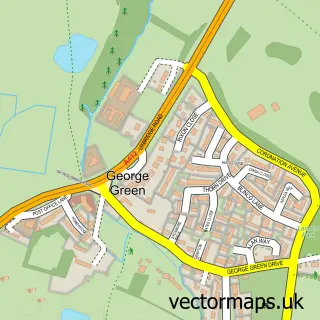
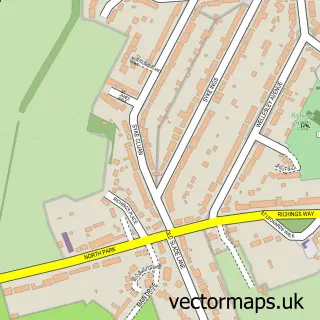
Nearby street map samples around Langley

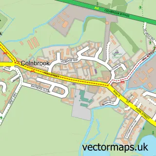
More street maps in Berkshire
750 metre map area coverage
Boundary, postcode and point of interest information for the 750m x 750m rectangle centred on this sample map.
Boundaries containing map centre
Constituency: Windsor Co Const
District: Slough (B)
Icb: NHS Frimley ICB
Police Force: thames valley
Postcode District: SL3
Postcode Sector: SL3 8
Ward: Langley St. Mary's Ward
Nearby boundaries intersecting sample
Constituency: Slough Boro Const
Postcode Sector: SL3 7
Ward: Langley Foxborough Ward, Langley Marish Ward, Langley Meads Ward
Postcode coverage
POI category counts
Butcher Shop: 3
Education: 3
Elementary School: 3
Library: 3
Anglican Church: 2
Church Cathedral: 2
College University: 2
Community Center: 2
Convenience Store: 2
Driving School: 2
Sample points of interest
- St Mary the Virgin Church, Langley
- St Mary's, Langley
- Art Classes with Isabel Hunt
- Woodlands Bakery
- NatWest
- Flawless Skin & Body
- Heathrow Windsor Stays
- Asian Wedding Directory
- John Murphy & Company Ltd.
- Chicken Cottage
- Langley Meat and Poultry
- Langley butcher and fishmongers
Create a larger editable map of Langley
This sample shows only a 750 metre area. To create a larger map of Langley, use our map builder to choose your own coverage area, add titles and download editable SVG, PDF and PNG files.
Create a custom map of Langley