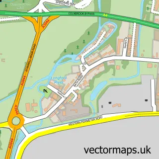
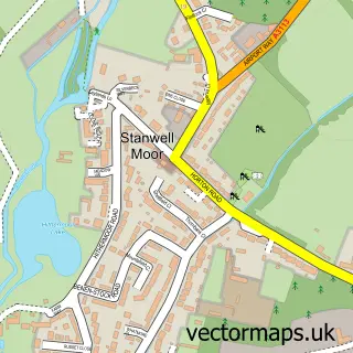
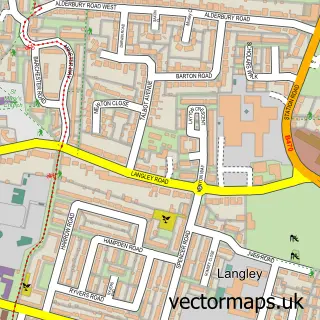
This Poyle street map is a detailed vector street map covering a 750m x 750m area. Select a larger area to create and download your own vector street map of Poyle.
The 750-metre map sample for Poyle covers 265 mapped buildings and approximately 10.5 km of road detail, of which 24 named roads are named. The immediate area includes 1 school, 1 GP surgery within 2 miles, 1 pub and 5 MOT stations within 2 miles. The wider area around Poyle features 1 tourism point of interest, 4 food and drink venues and 2 hotels. To create a larger or custom map of Poyle, the map builder lets you define your own coverage area and download editable SVG, PDF and PNG files.
Create a larger editable map of Poyle
Choose any area you need and generate a high-quality vector map instantly. Perfect for print, planning, design, business and personal use.

This Poyle street map in Berkshire is available as downloadable SVG, PDF and PNG map files, or as a printed map for planning, business, display, education, local information and design work. You can also create a larger custom map area using the map selector.
What this Poyle map sample shows
Poyle lies within Colnbrook With Poyle Cp parish, part of Colnbrook With Poyle ward in the Slough (B) local authority area. The postcode geography for this area includes the SL postcode area, the SL3 postcode district and the SL3 0 postcode sector. Residents fall under the Nhs Frimley Integrated Care Board for NHS services.
Local features near Poyle
Within 2 milesAmenities and services in and around Poyle.
Administrative and postcode information for Poyle
Poyle lies within Colnbrook With Poyle Cp parish, part of Colnbrook With Poyle ward in the Slough (B) local authority area. The postcode geography for this area includes the SL postcode area, the SL3 postcode district and the SL3 0 postcode sector. Residents fall under the Nhs Frimley Integrated Care Board for NHS services.
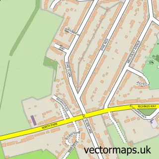
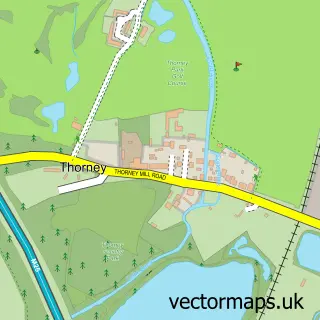
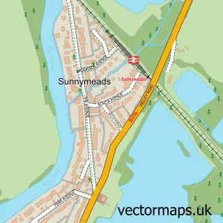
Nearby street map samples around Poyle

More street maps in Berkshire
750 metre map area coverage
Boundary, postcode and point of interest information for the 750m x 750m rectangle centred on this sample map.
Boundaries containing map centre
Constituency: Windsor Co Const
District: Slough (B)
Icb: NHS Frimley ICB
Parish: Colnbrook with Poyle CP
Police Force: thames valley
Postcode District: SL3
Postcode Sector: SL3 0
Ward: Colnbrook & Poyle Ward
Nearby boundaries intersecting sample
No additional intersecting boundaries found.
Postcode coverage
POI category counts
Freight And Cargo Service: 8
Building Supply Store: 3
Ev Charging Station: 3
Lake: 3
Resort: 3
Cafe: 2
Contractor: 2
Convenience Store: 2
Driving School: 2
Hotel: 2
Sample points of interest
- Colnbrook Village
- C D S Construction Services Ltd.
- PSK Development London
- Euro Auto Diagnostic Store
- Pati Hills
- Out of Jail
- Facelook-Barbers
- Casa Lovell
- Fat Boys Cafe
- B & R Plumbing
- George Lines
- Rentokil Pest Control
Create a larger editable map of Poyle
This sample shows only a 750 metre area. To create a larger map of Poyle, use our map builder to choose your own coverage area, add titles and download editable SVG, PDF and PNG files.
Create a custom map of Poyle