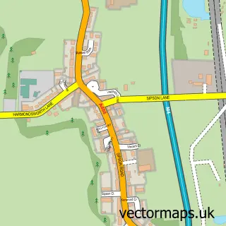
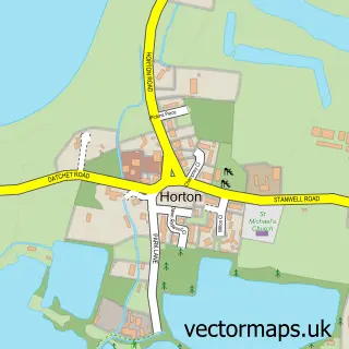
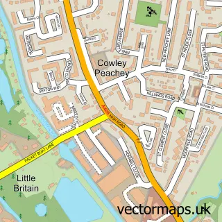
This Longford street map is a detailed vector street map covering a 750m x 750m area. Select a larger area to create and download your own vector street map of Longford.
The 750-metre map sample for Longford covers 102 mapped buildings and approximately 14.5 km of road detail, of which 8 named roads are named. The immediate area includes 2 GP surgeries within 2 miles, 3 pubs and 6 MOT stations within 2 miles. The wider area around Longford features 5 food and drink venues. To create a larger or custom map of Longford, the map builder lets you define your own coverage area and download editable SVG, PDF and PNG files.
Create a larger editable map of Longford
Choose any area you need and generate a high-quality vector map instantly. Perfect for print, planning, design, business and personal use.

This Longford street map in Greater London is available as downloadable SVG, PDF and PNG map files, or as a printed map for planning, business, display, education, local information and design work. You can also create a larger custom map area using the map selector.
What this Longford map sample shows
Longford lies within Greater London Authority parish, part of Heathrow Villages ward in the Hillingdon London Boro local authority area. The postcode geography for this area includes the TW postcode area, the TW19 postcode district and the TW19 6 postcode sector. Residents fall under the Nhs North West London Integrated Care Board for NHS services.
Local features near Longford
Within 2 milesAmenities and services in and around Longford.
Administrative and postcode information for Longford
The local authority covering Longford is Hillingdon London Boro, within the county of Greater London. The settlement lies within Heathrow Villages ward and Greater London Authority civil parish. The TW19 postcode district and TW19 6 postcode sector serve the immediate area. NHS provision in the area is delivered through The Hillingdon Hospitals Nhs Foundation Trust.
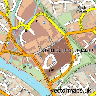
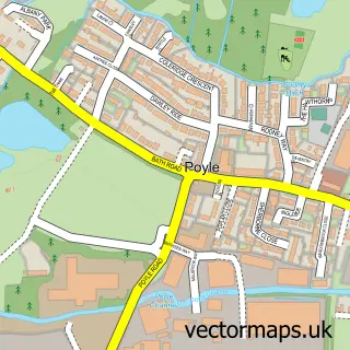
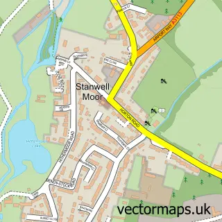
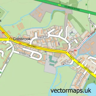
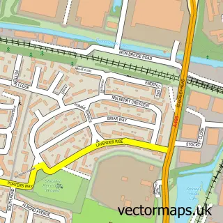
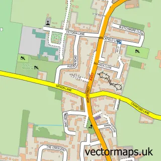
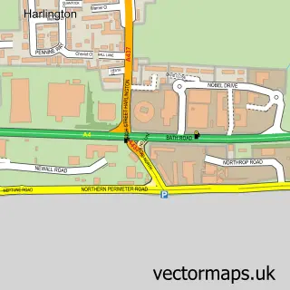
Nearby street map samples around Longford

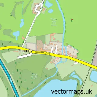
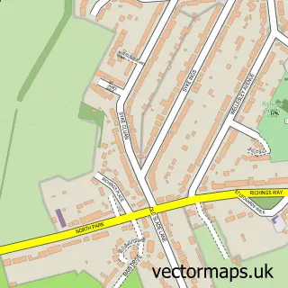
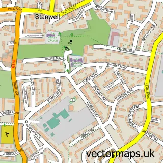
More street maps in Greater London
750 metre map area coverage
Boundary, postcode and point of interest information for the 750m x 750m rectangle centred on this sample map.
Boundaries containing map centre
Constituency: Hayes and Harlington Boro Const
County: Greater London Authority
District: Hillingdon London Boro
Icb: NHS West and North London IC
Police Force: metropolitan
Postcode District: UB7
Postcode Sector: UB7 0
Ward: Heathrow Villages Ward
Nearby boundaries intersecting sample
Postcode District: TW19, TW6
Postcode Sector: TW19 6, TW6 2
Postcode coverage
POI category counts
Pub: 3
Airport: 2
Gift Shop: 2
Professional Services: 2
Resort: 2
Restaurant: 2
Taxi Service: 2
Travel: 2
Airline: 1
Airport Shuttles: 1
Sample points of interest
- Air Tahiti Nui United Kingdom
- Business Pod Transit
- Heathrow T5 Pods
- SIXT ride - Heathrow airport transfer
- Waterlife Aquatics & Reptiles
- Longford Village
- Aqua Car Wash Heathrow
- Heathrow Lodge
- WaterLife Research Industries Ltd.
- Thrifty Car Rental
- Heathrow Special Needs Centre
- IBV Flooring Company
Create a larger editable map of Longford
This sample shows only a 750 metre area. To create a larger map of Longford, use our map builder to choose your own coverage area, add titles and download editable SVG, PDF and PNG files.
Create a custom map of Longford