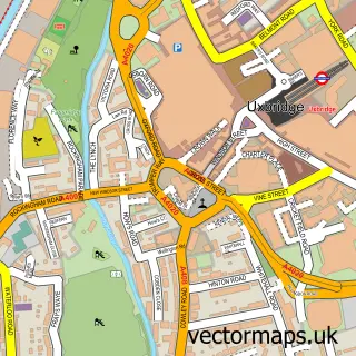
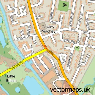
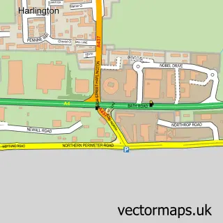
This Stockley street map is a detailed vector street map covering a 750m x 750m area. Select a larger area to create and download your own vector street map of Stockley.
The 750-metre map sample for Stockley covers 230 mapped buildings and approximately 15.2 km of road detail, of which 26 named roads are named. The immediate area includes 15 GP surgeries within 2 miles and 1 MOT station, with 31 within 2 miles. The wider area around Stockley features 1 tourism point of interest and 1 food and drink venue. To create a larger or custom map of Stockley, the map builder lets you define your own coverage area and download editable SVG, PDF and PNG files.
Create a larger editable map of Stockley
Choose any area you need and generate a high-quality vector map instantly. Perfect for print, planning, design, business and personal use.

This Stockley street map in Greater London is available as downloadable SVG, PDF and PNG map files, or as a printed map for planning, business, display, education, local information and design work. You can also create a larger custom map area using the map selector.
What this Stockley map sample shows
Stockley lies within Greater London Authority parish, part of West Drayton ward in the Hillingdon London Boro local authority area. The postcode geography for this area includes the UB postcode area, the UB7 postcode district and the UB7 9 postcode sector. Residents fall under the Nhs North West London Integrated Care Board for NHS services.
Local features near Stockley
Within 2 milesAmenities and services in and around Stockley.
Administrative and postcode information for Stockley
Stockley lies within Greater London Authority parish, part of West Drayton ward in the Hillingdon London Boro local authority area. The postcode geography for this area includes the UB postcode area, the UB7 postcode district and the UB7 9 postcode sector. Residents fall under the Nhs North West London Integrated Care Board for NHS services.
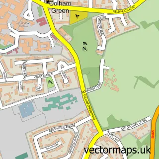
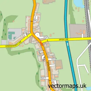
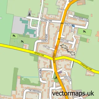
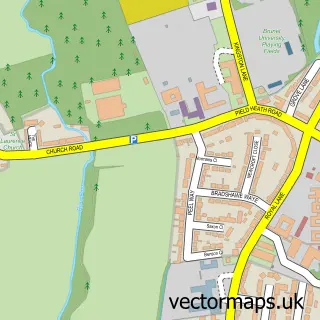
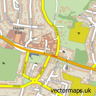
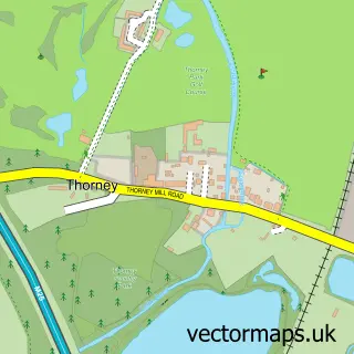
Nearby street map samples around Stockley

More street maps in Greater London
750 metre map area coverage
Boundary, postcode and point of interest information for the 750m x 750m rectangle centred on this sample map.
Boundaries containing map centre
Constituency: Hayes and Harlington Boro Const
County: Greater London Authority
District: Hillingdon London Boro
Icb: NHS West and North London IC
Police Force: metropolitan
Postcode District: UB7
Postcode Sector: UB7 9
Ward: West Drayton Ward
Nearby boundaries intersecting sample
Constituency: Uxbridge and South Ruislip Boro Const
Postcode District: UB11, UB3
Postcode Sector: UB11 1, UB3 1, UB7 8
Ward: Hayes Town Ward, Pinkwell Ward, Yiewsley Ward
Postcode coverage
POI category counts
Building Supply Store: 3
Construction Services: 2
Freight And Cargo Service: 2
Pet Groomer: 2
Post Office: 2
Sports Club And League: 2
Train Station: 2
Used Car Dealer: 2
Auto Manufacturers And Distributors: 1
Barber: 1
Sample points of interest
- Charge Cars
- Dem Barbers
- The George Henry Bar
- Heidelberg Materials Aggregates
- Heidelberg Materials Asphalt
- Shaniek - Domestic cleaner - Wecasa Cleaning
- ERIKI Indian Restaurant
- Wan Lai
- AMA Build Constructions
- Hanson Aggregates, West Drayton
- Argos West Drayton Garden Village (Sainsbury's C&C)
- Wallace School Of Transport
Create a larger editable map of Stockley
This sample shows only a 750 metre area. To create a larger map of Stockley, use our map builder to choose your own coverage area, add titles and download editable SVG, PDF and PNG files.
Create a custom map of Stockley