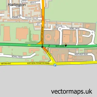
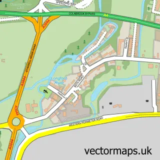
This Sipson street map is a detailed vector street map covering a 750m x 750m area. Select a larger area to create and download your own vector street map of Sipson.
The 750-metre map sample for Sipson covers 139 mapped buildings and approximately 8.7 km of road detail, of which 12 named roads are named. The immediate area includes 2 schools, 11 GP surgeries within 2 miles, 1 pub and 1 MOT station, with 19 within 2 miles. The wider area around Sipson features 1 food and drink venue. To create a larger or custom map of Sipson, the map builder lets you define your own coverage area and download editable SVG, PDF and PNG files.
Create a larger editable map of Sipson
Choose any area you need and generate a high-quality vector map instantly. Perfect for print, planning, design, business and personal use.

This Sipson street map in Greater London is available as downloadable SVG, PDF and PNG map files, or as a printed map for planning, business, display, education, local information and design work. You can also create a larger custom map area using the map selector.
What this Sipson map sample shows
Sipson lies within Greater London Authority parish, part of Heathrow Villages ward in the Hillingdon London Boro local authority area. The postcode geography for this area includes the UB postcode area, the UB7 postcode district and the UB7 0 postcode sector. Residents fall under the Nhs North West London Integrated Care Board for NHS services.
Local features near Sipson
Within 2 milesAmenities and services in and around Sipson.
Administrative and postcode information for Sipson
The local authority covering Sipson is Hillingdon London Boro, within the county of Greater London. The settlement lies within Heathrow Villages ward and Greater London Authority civil parish. The UB7 postcode district and UB7 0 postcode sector serve the immediate area. NHS provision in the area is delivered through The Hillingdon Hospitals Nhs Foundation Trust.
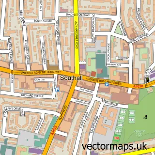
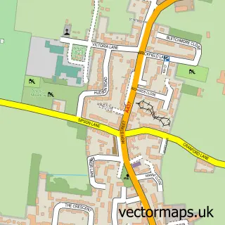
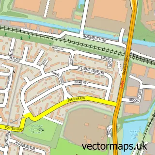
Nearby street map samples around Sipson


More street maps in Greater London
750 metre map area coverage
Boundary, postcode and point of interest information for the 750m x 750m rectangle centred on this sample map.
Boundaries containing map centre
Constituency: Hayes and Harlington Boro Const
County: Greater London Authority
District: Hillingdon London Boro
Icb: NHS West and North London IC
Police Force: metropolitan
Postcode District: UB7
Postcode Sector: UB7 0
Ward: Heathrow Villages Ward
Nearby boundaries intersecting sample
Postcode District: UB3
Postcode Sector: UB3 5
Postcode coverage
POI category counts
Indian Restaurant: 4
Advertising Agency: 1
Automotive: 1
Automotive Repair: 1
Automotive Services And Repair: 1
Building Supply Store: 1
Bus Station: 1
Community Services Non Profits: 1
Elementary School: 1
Halal Restaurant: 1
Sample points of interest
- Etherious Media
- Maestro Automotive
- Mason-Thompson
- RayMakers
- West London Readymix Concrete
- Heathrow Airport Bus Station
- Lote Tree Foundation
- Heathrow Primary School
- Zayani Restaurant - Heathrow
- Achari
- Biryani Wala Ltd
- The King William IV
Create a larger editable map of Sipson
This sample shows only a 750 metre area. To create a larger map of Sipson, use our map builder to choose your own coverage area, add titles and download editable SVG, PDF and PNG files.
Create a custom map of Sipson