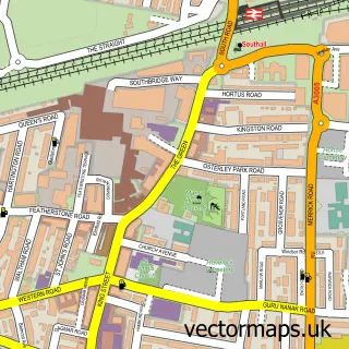
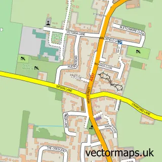
This Southall street map is a detailed vector street map covering a 750m x 750m area. Select a larger area to create and download your own vector street map of Southall.
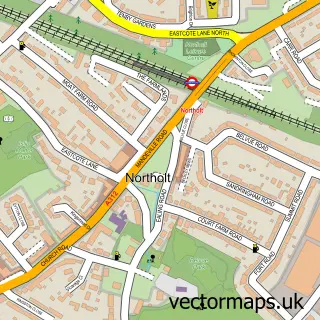
The 750-metre map sample for Southall covers 418 mapped buildings and approximately 17.8 km of road detail, of which 36 named roads are named. The immediate area includes 2 primary schools and 1 secondary school, 4 GP surgeries, with 43 within 2 miles, 4 pubs and 2 MOT stations, with 43 within 2 miles. The wider area around Southall features 1 tourism point of interest, 22 food and drink venues and 5 hotels. To create a larger or custom map of Southall, the map builder lets you define your own coverage area and download editable SVG, PDF and PNG files.
Create a larger editable map of Southall
Choose any area you need and generate a high-quality vector map instantly. Perfect for print, planning, design, business and personal use.

This Southall street map in Greater London is available as downloadable SVG, PDF and PNG map files, or as a printed map for planning, business, display, education, local information and design work. You can also create a larger custom map area using the map selector.
What this Southall map sample shows
Southall lies within Greater London Authority parish, part of Southall Broadway ward in the Ealing London Boro local authority area. The postcode geography for this area includes the UB postcode area, the UB1 postcode district and the UB1 1 postcode sector. Residents fall under the Nhs North West London Integrated Care Board for NHS services.
Local features near Southall
Within 2 milesAmenities and services in and around Southall.
Administrative and postcode information for Southall
The local authority covering Southall is Ealing London Boro, within the county of Greater London. The settlement lies within Southall Broadway ward and Greater London Authority civil parish. The UB1 postcode district and UB1 1 postcode sector serve the immediate area. NHS provision in the area is delivered through London North West University Healthcare Nhs Trust.
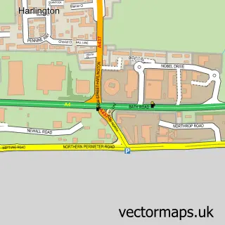
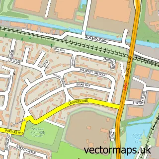
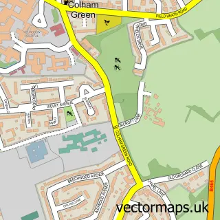
Nearby street map samples around Southall


More street maps in Greater London
750 metre map area coverage
Boundary, postcode and point of interest information for the 750m x 750m rectangle centred on this sample map.
Boundaries containing map centre
Constituency: Ealing Southall Boro Const
County: Greater London Authority
District: Ealing London Boro
Icb: NHS West and North London IC
Police Force: metropolitan
Postcode District: UB1
Postcode Sector: UB1 1
Ward: Southall Broadway Ward
Nearby boundaries intersecting sample
Postcode Sector: UB1 2, UB1 3
Ward: Dormers Wells Ward
Postcode coverage
POI category counts
Clothing Store: 32
Indian Restaurant: 26
Jewelry Store: 14
Legal Services: 14
Travel Services: 13
Restaurant: 12
Doctor: 11
Financial Service: 10
Bank Credit Union: 9
Hair Salon: 9
Sample points of interest
- Advantax Accountants | Accountants In Southall | Tax Accountant | Bookkeeping | Payroll
- Bashir Accountants Ltd
- Janak H Raja & Co.
- S Chaudry & Co. Ltd.
- S&H Accountants
- Satnam Accountants
- We Make Footballers: Southall Academy
- Island Graphics
- Kabul Restaurant
- Skyline Travel
- Imaad Clinic
- Superherbal
Create a larger editable map of Southall
This sample shows only a 750 metre area. To create a larger map of Southall, use our map builder to choose your own coverage area, add titles and download editable SVG, PDF and PNG files.
Create a custom map of Southall