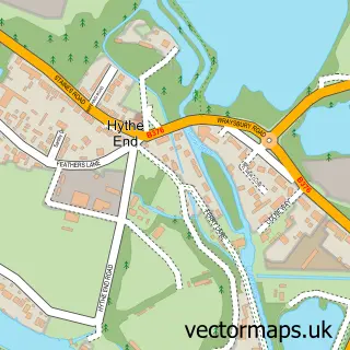
This Horton street map is a detailed vector street map covering a 750m x 750m area. Select a larger area to create and download your own vector street map of Horton.
The 750-metre map sample for Horton covers 95 mapped buildings and approximately 7.1 km of road detail, of which 8 named roads are named. The immediate area includes 2 GP surgeries within 2 miles and 1 MOT station, with 9 within 2 miles. The wider area around Horton features 1 tourism point of interest. To create a larger or custom map of Horton, the map builder lets you define your own coverage area and download editable SVG, PDF and PNG files.
Create a larger editable map of Horton
Choose any area you need and generate a high-quality vector map instantly. Perfect for print, planning, design, business and personal use.

This Horton street map in Berkshire is available as downloadable SVG, PDF and PNG map files, or as a printed map for planning, business, display, education, local information and design work. You can also create a larger custom map area using the map selector.
What this Horton map sample shows
Horton lies within Horton Cp parish, part of Datchet, Horton & Wraysbury ward in the Windsor And Maidenhead (B) local authority area. The postcode geography for this area includes the SL postcode area, the SL3 postcode district and the SL3 9 postcode sector. Residents fall under the Nhs Frimley Integrated Care Board for NHS services.
Local features near Horton
Within 2 milesAmenities and services in and around Horton.
Administrative and postcode information for Horton
Horton lies within Horton Cp parish, part of Datchet, Horton & Wraysbury ward in the Windsor And Maidenhead (B) local authority area. The postcode geography for this area includes the SL postcode area, the SL3 postcode district and the SL3 9 postcode sector. Residents fall under the Nhs Frimley Integrated Care Board for NHS services.
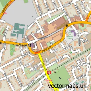
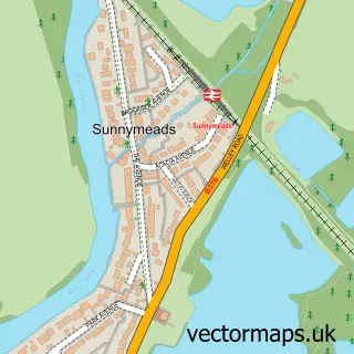
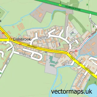
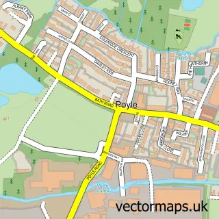
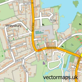
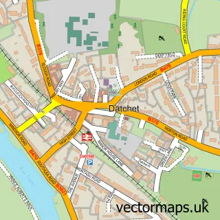
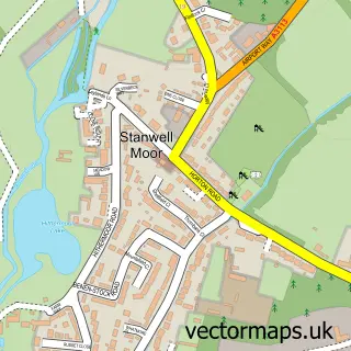
Nearby street map samples around Horton

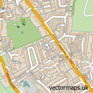
More street maps in Berkshire
750 metre map area coverage
Boundary, postcode and point of interest information for the 750m x 750m rectangle centred on this sample map.
Boundaries containing map centre
Constituency: Windsor Co Const
District: Windsor and Maidenhead (B)
Icb: NHS Frimley ICB
Parish: Horton CP
Police Force: thames valley
Postcode District: SL3
Postcode Sector: SL3 9
Ward: Datchet, Horton & Wraysbury Ward
Nearby boundaries intersecting sample
No additional intersecting boundaries found.
Postcode coverage
POI category counts
Roofing: 3
Church Cathedral: 2
Accommodation: 1
Anglican Church: 1
Auto Body Shop: 1
Auto Detailing: 1
Automotive Services And Repair: 1
Beauty Salon: 1
Commercial Vehicle Dealer: 1
Community Center: 1
Sample points of interest
- Horton Village
- St Michaels Church Horton
- RBG Commercial Body
- MVA Detailing Ltd
- SMS Motor Engineers
- Deny K Beauty and Hair
- Horton Church Lake
- St Michael's Church
- Huntswood Van Centre
- Champney Hall
- Lowery Demolition
- J Rayner & Sons
Create a larger editable map of Horton
This sample shows only a 750 metre area. To create a larger map of Horton, use our map builder to choose your own coverage area, add titles and download editable SVG, PDF and PNG files.
Create a custom map of Horton