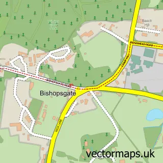
This Sunnymeads street map is a detailed vector street map covering a 750m x 750m area. Select a larger area to create and download your own vector street map of Sunnymeads.
The 750-metre map sample for Sunnymeads covers 161 mapped buildings and approximately 4.9 km of road detail, of which 6 named roads are named. The immediate area includes 1 railway station, 1 GP surgery within 2 miles and 9 MOT stations within 2 miles. To create a larger or custom map of Sunnymeads, the map builder lets you define your own coverage area and download editable SVG, PDF and PNG files.
Create a larger editable map of Sunnymeads
Choose any area you need and generate a high-quality vector map instantly. Perfect for print, planning, design, business and personal use.

This Sunnymeads street map in Berkshire is available as downloadable SVG, PDF and PNG map files, or as a printed map for planning, business, display, education, local information and design work. You can also create a larger custom map area using the map selector.
What this Sunnymeads map sample shows
Sunnymeads lies within Horton Cp parish, part of Datchet, Horton & Wraysbury ward in the Windsor And Maidenhead (B) local authority area. The postcode geography for this area includes the SL postcode area, the SL3 postcode district and the SL3 9 postcode sector. Residents fall under the Nhs Frimley Integrated Care Board for NHS services.
Local features near Sunnymeads
Within 2 milesAmenities and services in and around Sunnymeads.
Administrative and postcode information for Sunnymeads
Sunnymeads lies within Horton Cp parish, part of Datchet, Horton & Wraysbury ward in the Windsor And Maidenhead (B) local authority area. The postcode geography for this area includes the SL postcode area, the SL3 postcode district and the SL3 9 postcode sector. Residents fall under the Nhs Frimley Integrated Care Board for NHS services.
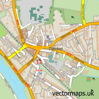
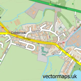
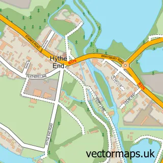
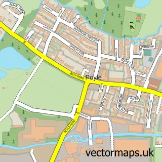
Nearby street map samples around Sunnymeads
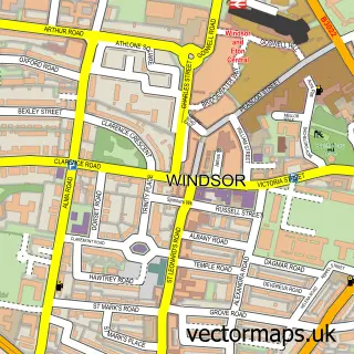

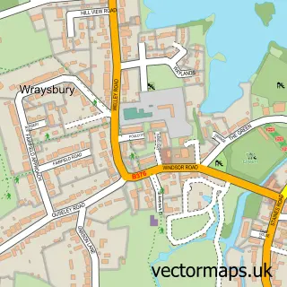
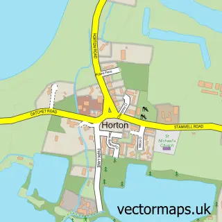
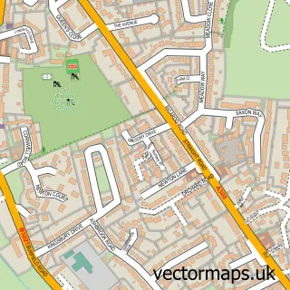
More street maps in Berkshire
750 metre map area coverage
Boundary, postcode and point of interest information for the 750m x 750m rectangle centred on this sample map.
Boundaries containing map centre
Constituency: Windsor Co Const
District: Windsor and Maidenhead (B)
Icb: NHS Frimley ICB
Parish: Wraysbury CP
Police Force: thames valley
Postcode District: TW19
Postcode Sector: TW19 5
Ward: Datchet, Horton & Wraysbury Ward
Nearby boundaries intersecting sample
Parish: Datchet CP, Horton CP, Old Windsor CP
Postcode District: SL3, SL4
Postcode Sector: SL3 9, SL4 2
Ward: Old Windsor Ward
Postcode coverage
POI category counts
Alternative Medicine: 2
Train Station: 2
Bed And Breakfast: 1
Car Dealer: 1
Tanning Salon: 1
Telecommunications: 1
Sample points of interest
- The National Smoking Cessation Institute, Wraysbury Branch
- Tidy Mind
- Wraysbury Retreat Bed & Breakfast
- NK Import Cars
- Body Glow UK
- Area Communications
- Sunnymeads
- Sunnymeads railway station
Create a larger editable map of Sunnymeads
This sample shows only a 750 metre area. To create a larger map of Sunnymeads, use our map builder to choose your own coverage area, add titles and download editable SVG, PDF and PNG files.
Create a custom map of Sunnymeads